
Sanitary & Topographical Map of the City and...
The 1865 Viele Map of Manhattan is still used today to locate springs and streams that have long...
0 miles away
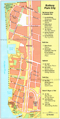
Battery Park City Map
City map of Battery Park City, an area of Manhattan, with art highlighted
less than 1 mile away
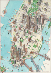
Manhattan New York Map
Aerial map of New York illustrated by UK illustrator Katherine Baxter.
2 miles away
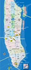
Manhattan Tourist Map
Tourist map of Manhattan, showing Museums, buildings of interest, and various neighborhoods.
2 miles away
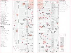
Midtown Manhattan, New York Map
Tourist map of midtown Manhattan in New York City, New York. Shows accommodations, restaurants, and...
3 miles away
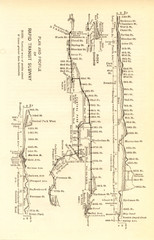
1904 New York City Subway Map
The New York City Subway Map in 1904
4 miles away
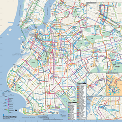
Brooklyn, New York Bus Map
Official MTA Bus Map of Brooklyn, New York. Shows all routes.
5 miles away
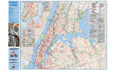
NYC Biking Route Map (Manhattan & Queens)
Official NYC biking map of Manhattan and Queens.
7 miles away
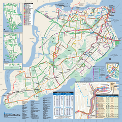
Staten Island Bus Map
Official Bus Map of Staten Island. Shows all routes.
12 miles away


 Explore Maps
 Map Directory
