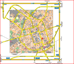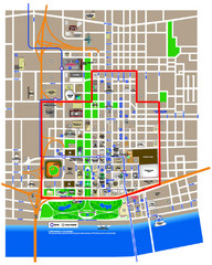
St. Louis, MO Tourist Map
0 miles away
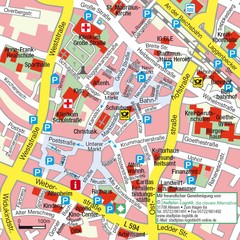
Ibbenbüren Downtown Map
Street map of Ibbenbüren city center
9 miles away
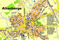
Altenberge Tourist Map
Tourist map of Altenberge
12 miles away
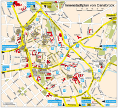
Osnabruck Tourist Map
Tourist map of Osnabruck city center
22 miles away
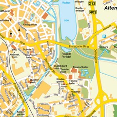
Nordhorn Center Map
Street map of Nordhorn town center
25 miles away
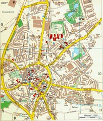
Ennirgerloh Map
Street map of Ennirgerloh
33 miles away
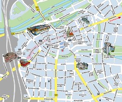
Hamm Center Tourist Map
Tourist street map of Hamm center
38 miles away
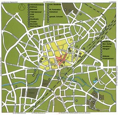
Gütersloh Map
Street tourist map of Gütersloh
41 miles away
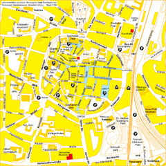
Recklinghausen Map
Street map of city
44 miles away
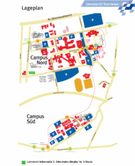
Universitat Dortumund Campus Map
44 miles away
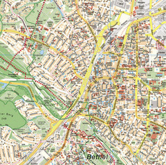
Bielefeld Street Map
Street map of central Bielefeld, Germany. Shows some points of interest.
44 miles away
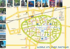
Dortmund Tourist Map
Tourist map of central Dortmund, Germany. Shows photos of points of interest along a walking audio...
48 miles away
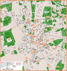
Bochum Tourist Map
Tourist map of central Bochum, Germany. Shows points of interest; numbers correspond to more info...
52 miles away
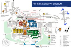
Ruhr-Universitat Campus Map
54 miles away
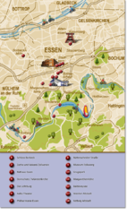
Essen Region Tourist Map
Tourist map of region of Essen
56 miles away
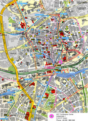
Essen Street Map
Street map of central Essen, Germany
57 miles away
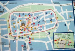
Xanten Tourist Map
Xanten center tourist map
60 miles away
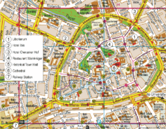
Paderborn Center Map
Street map of Paderborn city center
61 miles away
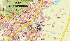
Bad Lippspringe Map
Street map of Bad Lippspringe
62 miles away
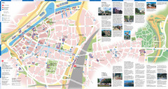
Duisburg Tourist Map
Tourist map of central Duisburg, Germany. Shows points of interest.
63 miles away
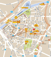
Duisburg City Map
Street map of Duisburg center
63 miles away
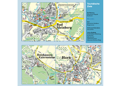
Horn-Bad Meinberg Map
Street map of Horn-Bad Meinberg and surrounding area
65 miles away
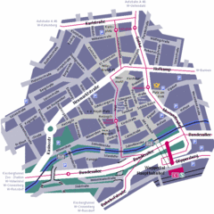
Wuppertal Elberfeld Street Map
Street map of Elberfeld in Wuppertal, Germany. In German.
68 miles away
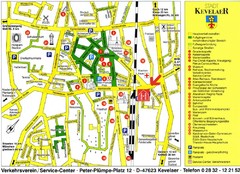
Kevelear Tourist Map
Tourist map of Kevelear
70 miles away
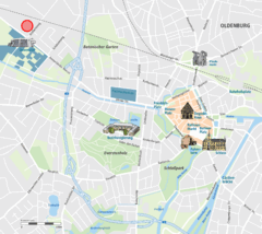
Oldenburg Center Map
Street map of Oldenburg city center
70 miles away
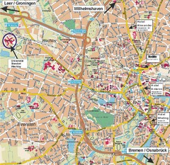
Oldenburg City Map
City map of Oldenburg with hotels
71 miles away
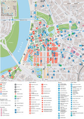
Dusseldorf Tourist Map
Tourist map of central Düsseldorf, Germany. Shows points of interest.
75 miles away
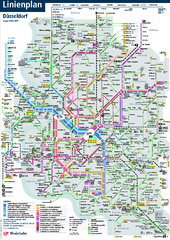
Dusseldorf Public Transport Network Map
Official Rheinbahn map shows municipal-rail, light rail and tramway system, as well as a close-knit...
75 miles away
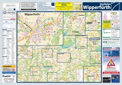
Wipperfuerth Tourist Map
Tourist map of Wipperfuerth and surrounding region
76 miles away
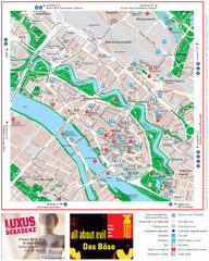
Bremen Tourist Map
Tourist map of the inner city of Bremen, Germany. Shows all points of interest.
80 miles away


 Explore Maps
 Map Directory
