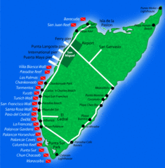
Cozumel Diving Tourist Map
0 miles away

Riviera Maya, Mexico Tourist Beach Map
44 miles away
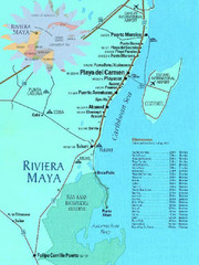
Riviera Maya, Mexico Tourist Beach Map
44 miles away
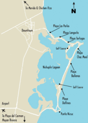
Cancun Beach Tourist Map
45 miles away
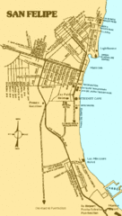
San Felipe, Mexico Beach Tourist Map
153 miles away

Cayman Seven Mile Beach Tourist Map
370 miles away
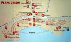
Playa Giron Map
Tourist map of Playa Giron beach
396 miles away
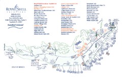
Sanibel Island Tourist Map
Tourist map of Sanibel Island, Florida
513 miles away
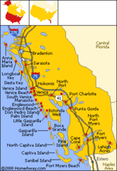
Bradenton Beach Map
Bradenton Beach and surrounding beach map.
555 miles away
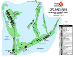
Fort De Sota Park Map
Shows facilities of Ft DeSota Park, Florida. Home of North Beach, rated #1 beach in America by...
560 miles away
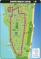
South Beach Tourist Map
Tourist map of South Beach in Miami, Florida. Rated the #5 beach in America by TripAdvisor.com...
566 miles away
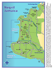
Negril Tourist and Beach Maps Map
Tourist maps and beach maps of Negril, Jamaica. Includes overview map, Negril 7-mile Beach map...
583 miles away
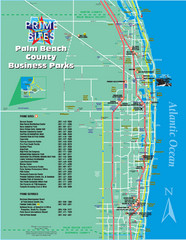
Palm Beach Tourist Map
613 miles away
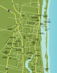
Port St. Lucie Map
Map of Port Saint Lucie.
629 miles away
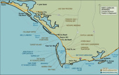
Mexico Beach, Florida Tourist Map
660 miles away
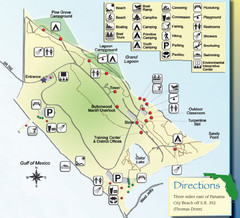
St. Andrews State Park Map
Overview map of St. Andrews State Park, #2 beach in America by TripAdvisor.com, 2008
670 miles away

Gulf Islands National Seashore Park Map
Official NPS map of the Gulf Islands National Seashore Park. Largest National Seashore in the US...
678 miles away
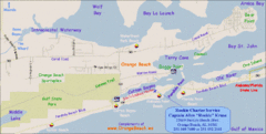
Orange Beach, Florida Beach Tourist Map
678 miles away
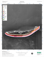
Ship Island Map
683 miles away
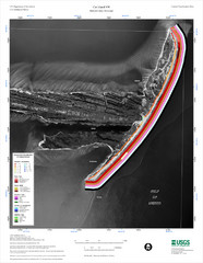
Cat Island Map
Cat Island NW Coastal Classification
685 miles away
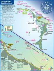
Abaco Bahamas tourist map
Tourist maps of Great and Little Abaco Islands in the Bahamas of the Caribbean. Shows diving sites...
748 miles away
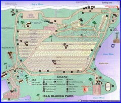
Isla Blanca Beach Park Map
Map of Isla Blanca Beach Park. Shows RV hookups and spots.
754 miles away
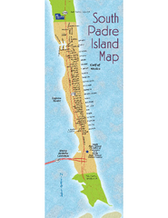
South Padre Island Map
Street map of South Padre Island, Texas. Shows beach names.
756 miles away
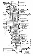
South Padre Island Street Map
Map of Jim's Beach Service of South Padre Island, Texas
756 miles away
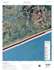
High Island Map
780 miles away
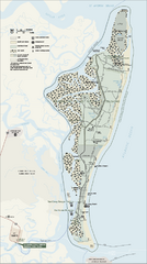
Cumberland Island National Seashore Map
Official NPS map of Cumberland Island National Seashore, Cumberland Island, Georgia. Rated #4...
792 miles away
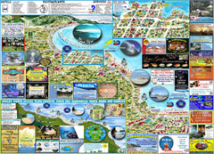
Puerto Viejo Info Guide Map
Maps of Puerto Viejo & Surrounding
801 miles away
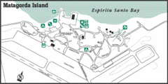
Matagorda Island State Park HQ Map
Shows park headquarters and facilities.
806 miles away
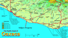
PUerto Escondido, Mexico Tourist Map
865 miles away
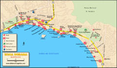
Zona Dorada Acapulco Map
Tourist site map of Zona Dorada area of Acapulco
883 miles away
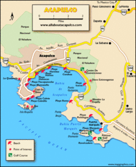
Acapulco Tourist Map
884 miles away
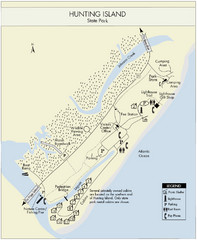
Hunting Island State Park Map
Shows facilities of Hunting Island State Park, South Carolina. Rated the #8 beach in America by...
913 miles away
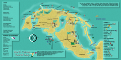
North Caicos Tourist Map
Tourist map of island of North Caicos, Turks and Caicos.
971 miles away

Huntington Beach State Park Map
Detailed map and legend of this beautiful state park.
1021 miles away
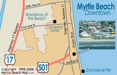
Myrtle Beach Tourist Map
1037 miles away
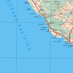
Jalisco State, Mexico Beach Tourist Map
1100 miles away
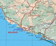
Melaque, Mexico Beach Tourist Map
1158 miles away
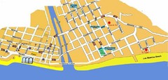
Puerto Vallarta, Mexico Beach Tourist Map
1182 miles away
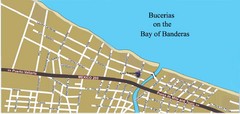
Bucerias, Mexico Tourist Beach Map
1190 miles away


 Explore Maps
 Map Directory
