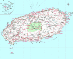
Jejudo Map
Reference map of Jejudo Island, South Korea. The largest island in Korea.
0 miles away
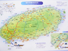
Jeju Tourist Map
Tourist map of Cheju (Jeju) Island, South Korea. The honeymoon island. From photo.
2 miles away
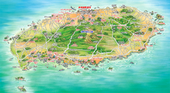
Jeju Tourist Map
Tourist map of island of Jeju, Korea. Shows points of interest. In Korean.
3 miles away
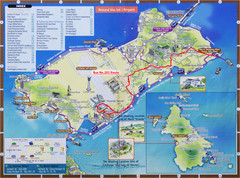
Yeongjong Island Tourist Map
Tourist map of Yeongjong Island, South Korea, off the coast of Incheon, South Korea. Also shows...
282 miles away
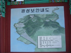
Ganghwa Island Map
From photo of sign. In Korean.
299 miles away
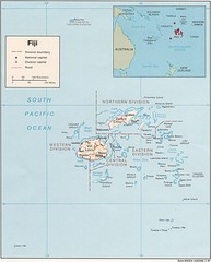
Fiji Tourist Map
391 miles away
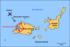
Iriomote Island Map
Outline map of Iriomote Island and Ishigaki Island
644 miles away
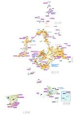
Penghu County Map
Overview map of islands of Penghu County, Taiwan. In Chinese.
807 miles away
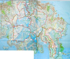
Hong Kong East Running Map
1071 miles away
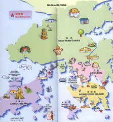
Hong Kong Area Tourist Map
Tourist map of Hong Kong and surrounding areas in China. In Chinese and English. Scanned.
1072 miles away
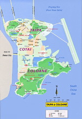
Taipa and Coloane Tourist Map
Tourist map of Taipa Island and the Cotai Strip, Macau. Shows hotels, casinos, and points of...
1111 miles away
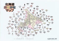
Osakana Fish Map
Map of Osakana, Japan shows all native fish. In Japanese.
1135 miles away
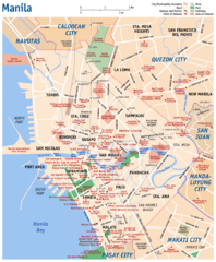
Manila Tourist Map
1346 miles away
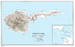
Corregidor Island WWII Map
Shows World War II fortifications on Corregidor Island, Philippines
1367 miles away
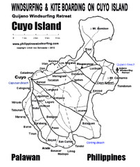
Cuyo Island Palawan Philippine Map
Cuyo is part of a group of 45 islets known as Quiniluban. It lies south of Mindoro and between...
1598 miles away
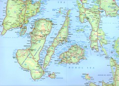
Visayas Islands Map
1604 miles away

Northern Mariana Islands Map
Guide to the Northern Mariana Islands, a commonwealth of the United States
1638 miles away
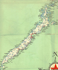
Palawan Island Road Map
1718 miles away
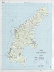
Island of Saipan Toopgraphic Map
1740 miles away
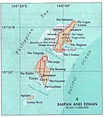
Saipan and Tinian Islands Tourist Map
1741 miles away
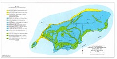
Island of Rota Soil Map
1773 miles away
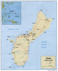
Guam Tourist Map
1797 miles away
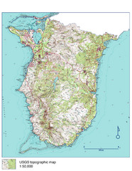
Guam Topo Map - South
Topo map of southern portion of island of Guam. 1:50,000 scale.
1798 miles away
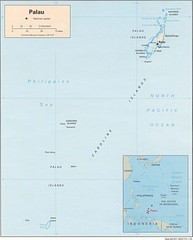
Palau Islands Map
1862 miles away
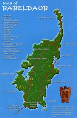
Babeldoab Map
Map of Babeldoab island of the Palau Islands
1862 miles away
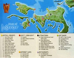
Koror Island Tourist Map
Tourist map of Koror island of Palau
1872 miles away
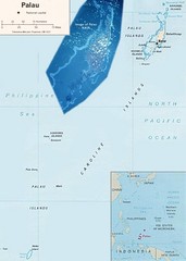
Palau Political Map
Guide to the island nation of Palau
1875 miles away
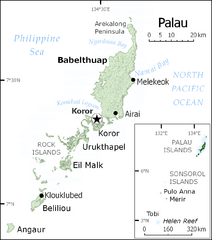
Palau Map
Guide to the country of Palau, the world's youngest and smallest sovereign state, previously...
1876 miles away
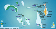
Mataking Island Diving Map
Mataking is a private island next to Sipadan, north of Mabul.
2058 miles away

Bailan Bay Beach Tourist Map
2126 miles away
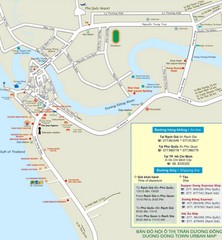
Duong Dong Town Map
Map of Duon Dong, Phu Quoc Island
2151 miles away
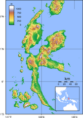
Halmahera Topography Map
Shows color coded shaded relief of island of Halmahera, Indonesia.
2267 miles away
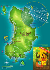
Koh Tao Tourist Map
An island famous for its diving
2340 miles away
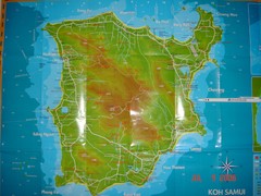
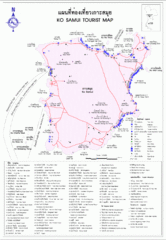
Ko Samui Tourist Map
Tourist map of island of Koh Samui, Thailand. From photo with pen on top.
2362 miles away
Koh Samui Island Tourist Map
2362 miles away
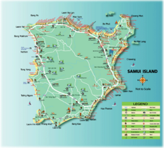
Samui Tourist Map
Tourist map of island of Samui, Thailand. Shows points of interest.
2363 miles away


 Explore Maps
 Map Directory
