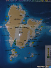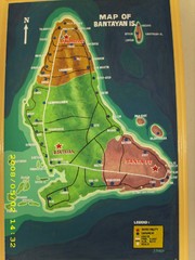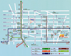
Bailan Bay Beach Tourist Map
0 miles away
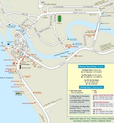
Duong Dong Town Map
Map of Duon Dong, Phu Quoc Island
169 miles away
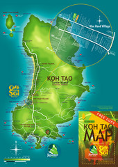
Koh Tao Tourist Map
An island famous for its diving
216 miles away
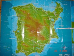
Ko Samui Tourist Map
Tourist map of island of Koh Samui, Thailand. From photo with pen on top.
236 miles away
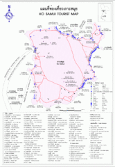
Koh Samui Island Tourist Map
236 miles away
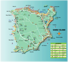
Samui Tourist Map
Tourist map of island of Samui, Thailand. Shows points of interest.
237 miles away
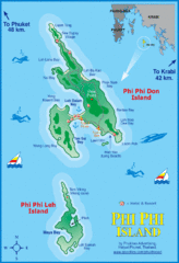
Phi Phi Island Map
384 miles away
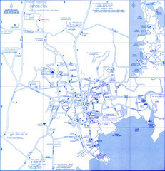
Phuket Map
Map of Phuket, Thailand's largest island. In Thai.
387 miles away
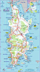
Phuket Island Tourist Map
390 miles away
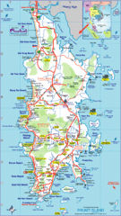
Phuket Island Tourist Map
Tourist map of Phuket Island, Thailand. Shows points of interest.
390 miles away
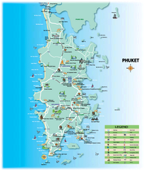
Phuket Tourist Map
Tourist map of island of Phuket, Thailand. Shows points of interest.
391 miles away
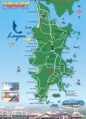
Phuket Island Tourist Map
391 miles away
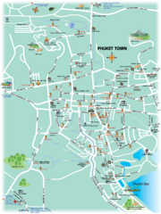
Phuket Town Tourist Map
Tourist map of town of Phuket, Thailand. Shows points of interest.
393 miles away
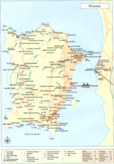
Penang Island Map
483 miles away
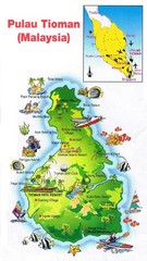
Tioman Island Map
653 miles away
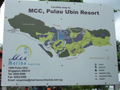
Pulao Ubin Island Trail Map
Trail map of Pulao Ubin Island, Singapore. Shows trails and facilities. From photo of sign.
744 miles away
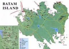
Batam Tourist Map
Tourist map of Batam island, Indonesia. Shows all ferry terminals, airport, and other useful info...
767 miles away
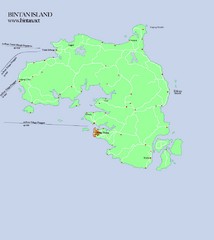
Bintan Island Map
Overview map of Bintan Island
778 miles away
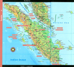
Sumatra Overview Map
Detailed map of island of Sumatra, Indonesia. Scanned.
851 miles away
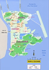
Taipa and Coloane Tourist Map
Tourist map of Taipa Island and the Cotai Strip, Macau. Shows hotels, casinos, and points of...
1018 miles away
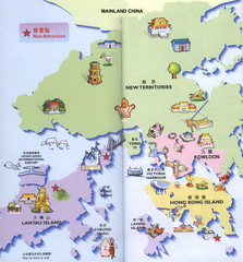
Hong Kong Area Tourist Map
Tourist map of Hong Kong and surrounding areas in China. In Chinese and English. Scanned.
1059 miles away
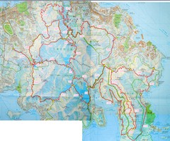
Hong Kong East Running Map
1060 miles away
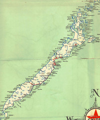
Palawan Island Road Map
1113 miles away
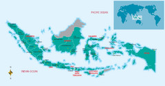
Indonesia Overview map
Shows regions of Indonesia and inset map shows Indonesia in context of rest of world.
1193 miles away
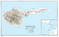
Corregidor Island WWII Map
Shows World War II fortifications on Corregidor Island, Philippines
1240 miles away
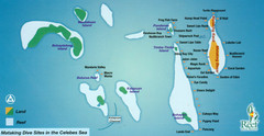
Mataking Island Diving Map
Mataking is a private island next to Sipadan, north of Mabul.
1244 miles away
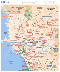
Manila Tourist Map
1267 miles away
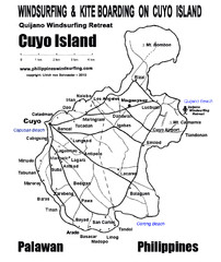
Cuyo Island Palawan Philippine Map
Cuyo is part of a group of 45 islets known as Quiniluban. It lies south of Mindoro and between...
1272 miles away
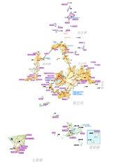
Penghu County Map
Overview map of islands of Penghu County, Taiwan. In Chinese.
1380 miles away
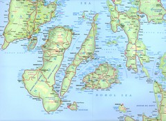
Visayas Islands Map
1424 miles away
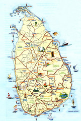
Sri Lanka Tourist Map
1496 miles away
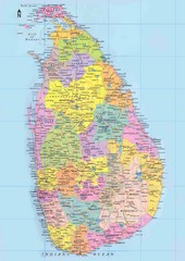
Sri Lanka Political Map
1512 miles away
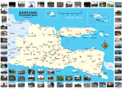
East Java Tourism Map
Tourist map of East Java, Indonesia. Shows photos of points of interest.
1544 miles away
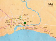
Matara City Map
City map of Matara, Sri lanka.
1545 miles away
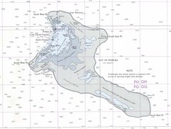
Kiritimati (Christmas) Island Tourist Map
1573 miles away
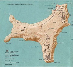
Christmas Island Tourist Map
1575 miles away
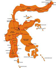
Sulawesi Island Map
Tourist map of island of Sulawesi, Indonesia.
1600 miles away


 Explore Maps
 Map Directory
