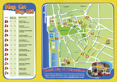
Liverpool Bus Tour Map
0 miles away
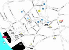
Merseytravel Headquarters Location Map
less than 1 mile away
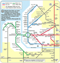
Liverpool Subway Map
Guide to Liverpool Merseyrail lines and stations
4 miles away
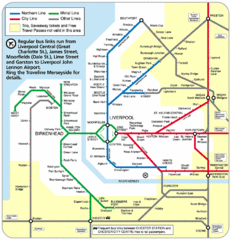
Merseyside Tube Map
4 miles away
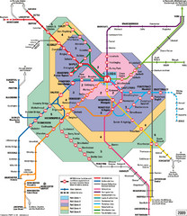
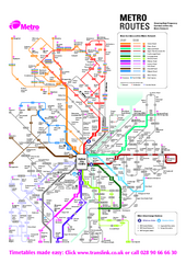
Leeds Metro Train Diagram Map
Metro system map for Leeds, England and surrounding cities.
65 miles away
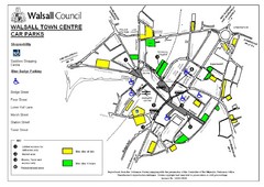
Downtown Walsall Parking Map
71 miles away
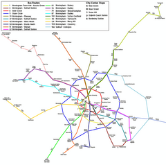
Birmingham Transit Map
Guide to bus lines in Birmingham, UK
77 miles away
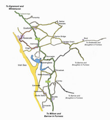
Whitehaven Wanderer Bus Route Map
79 miles away
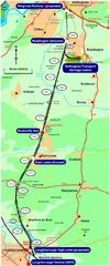
Nottingham Transport Map
A map showing train stations in Loughborough to Nottingham. Includes surrounding roads, towns...
86 miles away
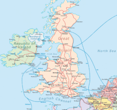
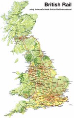
United Kingdom Transit Map
Guide to rail and ferries in the United Kingdom and surrounds
114 miles away
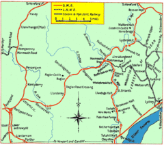
Monmouth and Wye Valley Railways Map
Map showing the 3 major railway lines and the cities with stops of Monmouth, UK.
115 miles away
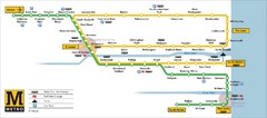
Tyne and Wear Metro Route Map
Map of metro transit routes throughout Tyne and Wear
118 miles away
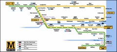
Newcastle Metro System Map
122 miles away
Delaine Bus Route Map
Map of bus routes throughout from Borne to Peterborough
122 miles away
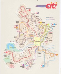
Peterborough Stage Coach Citi Bus Map
128 miles away
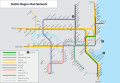
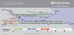
Dublin, Ireland Region Rail Map
136 miles away
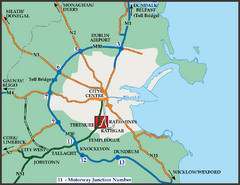
Central Dublin, Ireland Highway Map
136 miles away
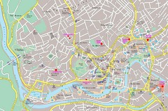
Bristol Centre Map
137 miles away
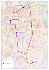
Gasworks/Belfast city centre shuttle Bus Map
Shuttle Bus service map between the Gasworks Estate and Belfast city centre.
145 miles away
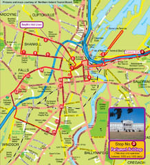
Belfast Bus Tour Map
145 miles away
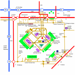
Heathrow Airport Map
171 miles away
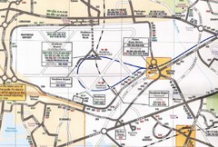
Heathrow Airport Transportation Map
171 miles away
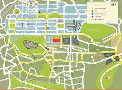
Edinburgh Tour Bus Map
176 miles away
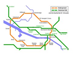
Glasgow Subway Map
Guide to underground and suburban rail
177 miles away
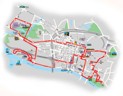
Glasgow Bus Tour Map
177 miles away
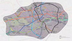
London Underground Zone 1 with Street Map
The London Underground Zone 1 geographically overlaid on city streets.
178 miles away
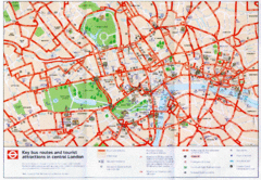
London Bus and Tourist Map
Key bus routes and tourist attractions in central London. Scanned.
178 miles away
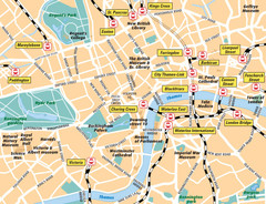
London Bahnhöfe Map
178 miles away
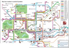
London Central Bus Routes Map
Guide to bus routes in London
178 miles away
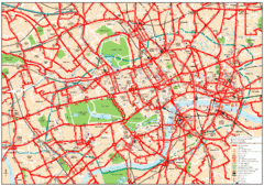
Central London Bus Map
1999 map from The London Tube Map Archive
178 miles away
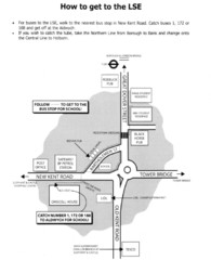
London School of Economics Bus Stop Map
How to get to the London School of Economics.
178 miles away
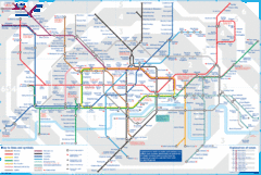
London Underground Tube Map
Map of London's underground Tube
179 miles away
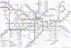
Tube Map
Map of London's Tube transportation lines and stops
179 miles away
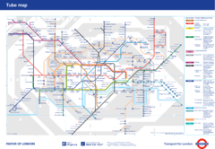
London Underground
London Underground map. Shows all 11 lines, 270 stations, and 9 zones as of 2010. This is the...
179 miles away
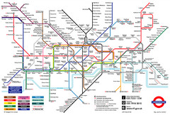
London Underground Transportation Map
The tube/subway in London
179 miles away
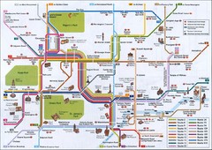
London Tube Map
179 miles away
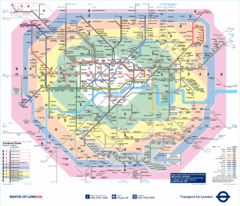
London Underground Tube Map
179 miles away


 Explore Maps
 Map Directory
