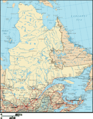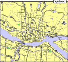
Quebec Tourist Map
0 miles away
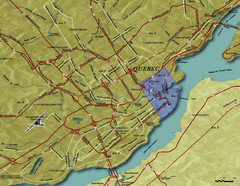
Quebec City Tourist Map
0 miles away
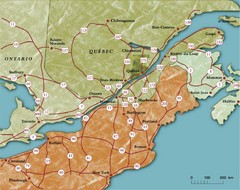
Southern Quebec Tourist Map
92 miles away
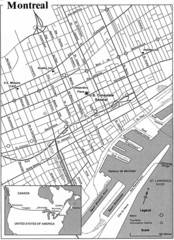
Montreal Tourist Map
145 miles away
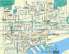
Montreal Tourist Map
145 miles away
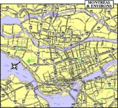
Montreal Tourist Map
145 miles away
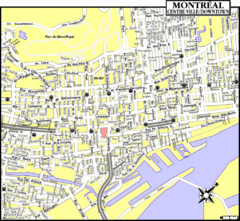
Montreal Tourist Map
145 miles away
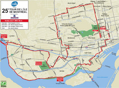
Montreal Tourist Map
145 miles away
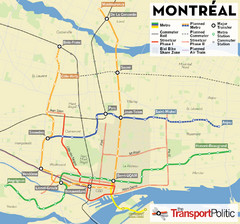
Montreal Tourist Map
145 miles away
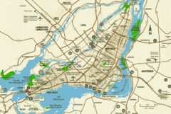
Montreal Tourist Map
145 miles away
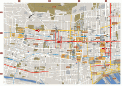
Montreal Downtown Map
Street map of downtown Montreal, Quebec. In French.
146 miles away
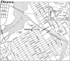
Ottawa, Ontario Tourist Map
235 miles away
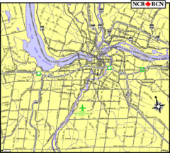
Ottawa, Ontario Tourist Map
235 miles away
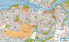
Ottawa, Ontario Tourist Map
235 miles away
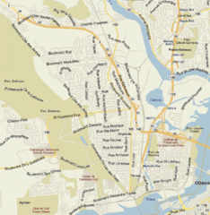
Hull, Quebec Tourist Map
236 miles away
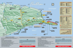
Forillon National Park Map
Official map of Forillon National Park at the tip of the Gaspe Peninsula in Quebec, Canada. Shows...
348 miles away
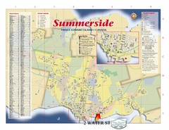
Summerside Tourist Map
Tourist map of Summerside, Prince Edward Island. Shows street index, mural tour, attractions, and...
354 miles away
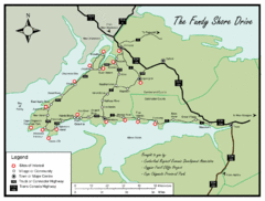
Bay of Fundy Tourist Map
Shows sites of interest along Fundy Shore driving route in Nova Scotia
359 miles away
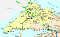
Nova Scotia Tourist Map
422 miles away
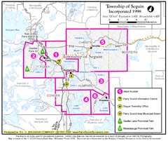
Seguin Township Map
Shows wards and parks in township of Seguin, Ontario.
425 miles away
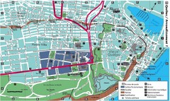
Quebec Tourist Map
436 miles away
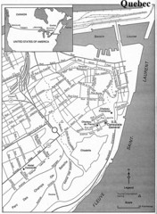
Quebec Tourist Map
436 miles away
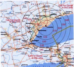
Transportation Rates in Toronto Map
Travel rates in Toronto, Canada
453 miles away
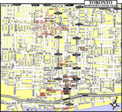
Toronto Tourist Map
453 miles away
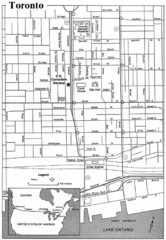
Toronto Tourist Map
453 miles away
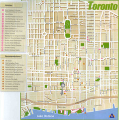
Toronto Tourist Map
453 miles away
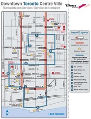
Downtown Toronto Tourist Map
453 miles away
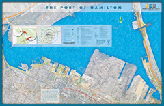
Port of Hamilton Map
Shows piers and tenants of Port of Hamilton, Ontario
486 miles away
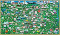
Waterloo Tourist Map
Tourist map of Waterloo, Ontario and the St. Jacobs area. Shows business logos and phone numbers.
509 miles away
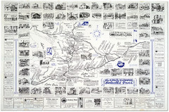
King's Highway Ontario Inn Map
Includes sketches of inns and guesthouses along the King's Highway in Ontario and...
518 miles away
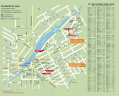
Stratford Tourist Map
Tourist map of center of Stratford, Ontario. Has street index and shows points of interest. Note...
532 miles away
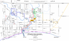
Kincardine Trail Map
Trail and street map of Kincardine, Ontario.
537 miles away
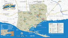
Norfolk County Tourist Map
Tourist map of Norfolk County, Ontario.
540 miles away
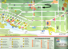
Sault Ste Marie Tourist Map
Tourist map of Sault Ste. Marie, Ontario. Shows attractions and accommodations. Scanned.
621 miles away
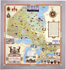
Ontario Tourist Map
635 miles away
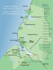
Gros Morne National Park Map
Shows campgrounds and trails in Gros Morne National Park, Newfoundland, Canada. In French and...
647 miles away
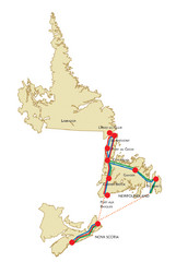
Newfoundland Map
675 miles away
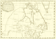
North America Latitude 40 to 68 Degrees Map, 1744
Physical map shows part of North America between latitudes of 40 to 68 degrees.
682 miles away
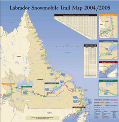
Labrador Snowmobiling Trail Map
Trail map of Labrador, Canada with inset maps of specific trail areas.
703 miles away


 Explore Maps
 Map Directory
