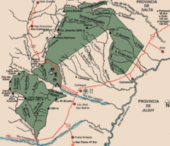
Calilegua National Park Map
Map of park with detail of various trails
0 miles away
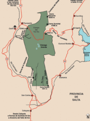
Los Cardones National Park Map
Map of park with detail of trails
170 miles away
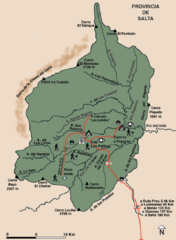
El Rey National Park Map
Map of park with detail of trails
174 miles away

Parque Nacional Baritu Map
Map of park with detail of trails
197 miles away
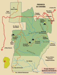
Quebrada del Condorito National Park Map
Map of park with detail of trails
629 miles away
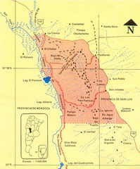
Sierra de las Quijadas National Park Map
Map of park
686 miles away
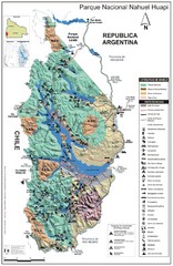
Nahuel Huapi National Park Map
Park map with detail of trails and recreation zones
1305 miles away
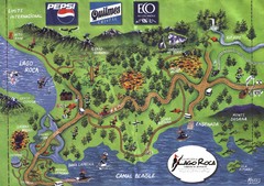
Tierra del Fuego National Park Camping Map
Map of campsites in Lago Roca area of park
2217 miles away
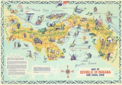
Panama Tourist Map
Tourist map of the Republic of Panama and the isthmus Canal Zone
2357 miles away
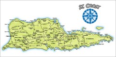
St. Croix Island Map
Overview map of island of St. Croix, US Virgin Islands. Shows districts, roads, and towns.
2796 miles away
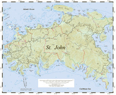
St. John Trail Map
Topographical trail map of St. John in the US Virgin Islands.
2838 miles away
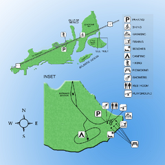
Curry Hammock State Park Map
Map of park with detail of various recreation zones
3425 miles away
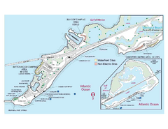
Bahia Honda State Park Map
Map of park with detail of recreation zones
3426 miles away
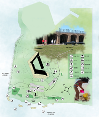
Fort Zachary Taylor State Park Map
Map of park with detail of trails and recreation zones
3429 miles away
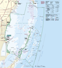
Biscayne National Park Official Map
Official NPS map of Biscayne National Park in Florida. Convoy Point, location of the parks...
3454 miles away
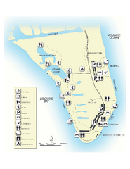
Bill Baggs State Recreation Area Map
Map of park with detail of various recreation zones
3471 miles away
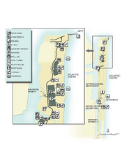
John U. Lloyd Beach State Park Map
Map of park with detail of trails and recreation zones
3497 miles away
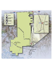
Fakahatchee Strand Preserve State Park Map
Map of park
3512 miles away
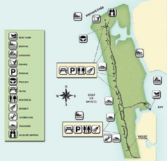
Delnor-Wiggings Pass State Park Map
Map of park with detail of trails and recreation zones
3543 miles away
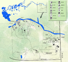
Koreshan State Historic Site Map
Map of park with detail of trails and recreation zones
3552 miles away
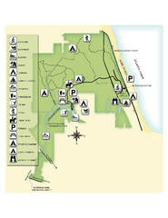
Jonathan Dickinson State Park Map
Map of park with detail of trails and recreation zones
3559 miles away
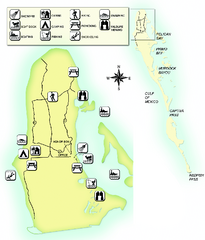
Cayo Costa State Park Map
Map of park with detail of trails and recreation zones
3577 miles away
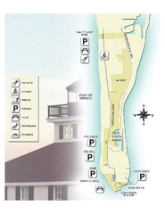
Gasparilla Island State Park Map
Map of park with detail of trails and recreation zones
3581 miles away
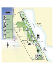
Savannas Preserve State Park Map
Map of park with detail of trails and recreation zones
3583 miles away
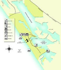
Don Pedro Island State Park Map
Map of park with detail of trails and recreation zones
3589 miles away
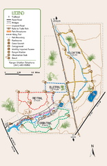
Oscar Scherer State Park Trail Map
Map of park with detail of hiking trails throughout
3614 miles away
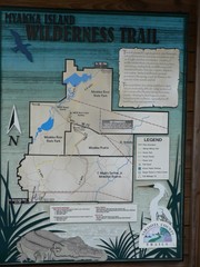
Myakka Island Trail Map
Trail map of Myakka Island. From photo.
3614 miles away
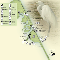
Sebastian Inlet State Park Map
Map of park with detail of trails and recreation zones
3621 miles away
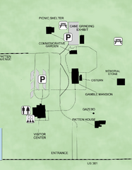
Gamble Plantation Historic State Park Map
Map of park with detail of recreation zones
3638 miles away
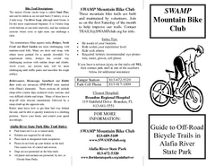
Alafia River State Park Bike Trail Map
Map of park with detail of various bike trails throughout
3647 miles away
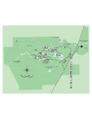
Hillsborough River State Park Map
Map of park with detail of trails and recreation zones
3671 miles away
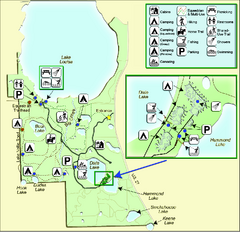
Lake Louisa State Park Map
Map of park with detail of trails and recreation zones
3684 miles away
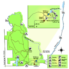
Wekiwa Springs State Park Map
Map of park with detail of trails and recreation zones
3697 miles away
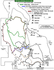
Wekiwa Springs State Park Trail Map
Trail map of park
3698 miles away
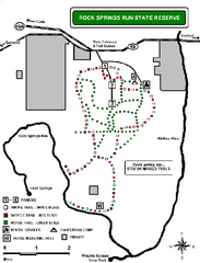
Rock Springs Run State Reserve Trail Map
Map of various trails throughout reserve
3702 miles away
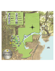
Lake Griffin State Park Map
Map of park with detail of trails and recreation zones
3713 miles away
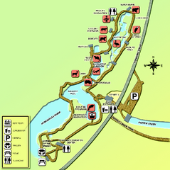
Homosassa Springs Wildlife State Park map
Map of park with detail of trails and recreation zones
3723 miles away
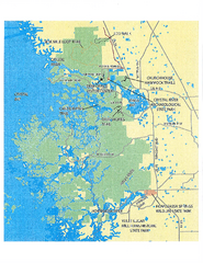
Crystal River Preserve State Park Map
Map of park with detail of recreation zones
3726 miles away
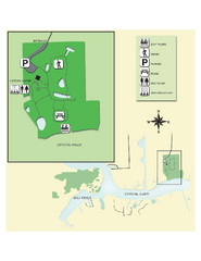
Crystal River Archeological State Park Map
Map of park with detail of trails and recreation zones
3731 miles away
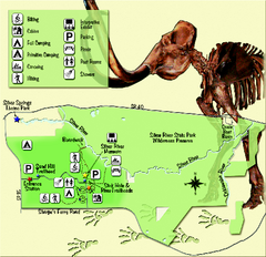
Silver River State Park Map
Map of park with detail of trails and recreation zones
3738 miles away


 Explore Maps
 Map Directory
