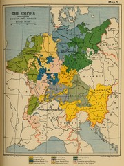
1912 Empire Historical Map
0 miles away
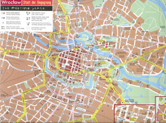
Wroclaw Tourist Map
Tourist map of central Wrocław, Poland. Shows points of interest.
497 miles away
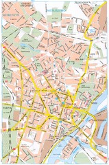
Szczecin Tourist Map
Tourist map of central Szczecin, Poland. Shows points of interest.
536 miles away
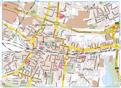
Katowice Tourist Map
Tourist map of central Katowice, Poland. Shows points of interest.
548 miles away
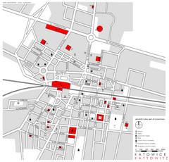
Kattowitz Tourist Map
Tourist map of Kattowitz, Poland. Shows points of interest.
548 miles away
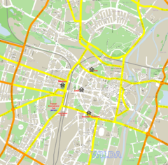
Poznan Street Map
Street map of Poznan, Poland.
548 miles away
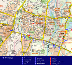
Poznan Tourist Map
Tourist map of central Poznan, Poland. Shows tram stops, hotels, and other points of interest.
548 miles away
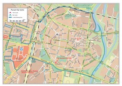
Poznan City Map
City map of center of Poznan, Poland. Shows bus and tram routes.
548 miles away
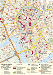
Krakow Tourist Map
Tourist map of central Krakow, Poland. Shows tourist routes and site of historic interest.
582 miles away
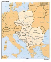
Eastern European Map
Map of Eastern Europe, Poland to Bulgaria
599 miles away
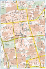
Lódź Tourist Map
Tourist map of central Lódź, Poland. Shows points of interest.
610 miles away
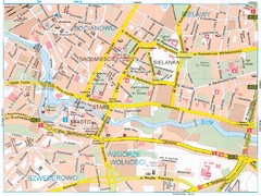
Bydgoszcz Tourist Map
Tourist map of central Bydgoszcz, Poland. Shows points of interest.
615 miles away
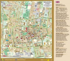
Tarnow Tourist Map
Tourist map of the center of Tarnow, Poland
625 miles away
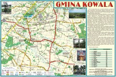
Kowala_Mazovia_poland.jpg Map
Map of Kowala_Mazovia_poland.jpg is a Kowala commune map, created with use of GlobalMapper and...
659 miles away
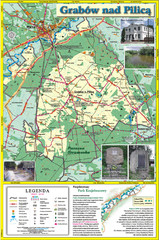
Grabow nad Pilica commune map
Grabow nad Pilica commune map Ed. 2006
676 miles away
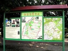
Brzoza_Glowaczow_Poland.jpg Map
Street map of Brzoza_Glowaczow_Poland.jpg - a "heavy-duty" street map after 6 years on...
677 miles away
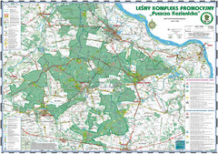
PuszczaKozienicka tourist map
LKP - Lesny Kompleks Promocyjny - PuszczaKozienicka - tourist map Ed. 2010 Projection: UTM/WGS84...
678 miles away
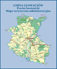
GLOWACZOW commune, PL Map
GLOWACZOW commune map, PL Ed. 2010 All data verified
678 miles away

RadomkaRiver-kayaking Map
Radomka River - kayaking map Checked on field and verified map of Radomka River from Brzoza to...
679 miles away
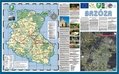
Brzoza_Glowaczow_Poland - 2000 x 1250.PNG Map
Map of Brzoza_Glowaczow_Poland - 2000 x 1250.PNG is special project dedicated to school in Brzoza...
680 miles away
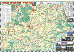
Zwolen_county_folded_map_POLAND Map
Zwolen county, paper folded map Scale 1: 70 000 Projection UTM/WGS84, GPS compatibile verified...
680 miles away
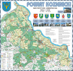
Kozienice_County_wall_map Map
Kozienice County big size wall map Covers all 7 communes: Kozienice, Garbatka-Letnisko, Grabow nad...
684 miles away
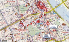
Warsaw Tourist Map
Tourist map of central Warsaw, Poland near University of Warsaw. Shows points of interest.
684 miles away
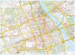
Warsaw Tourist Map
Tourist map of central Warsaw, Poland. Shows points of interest.
684 miles away
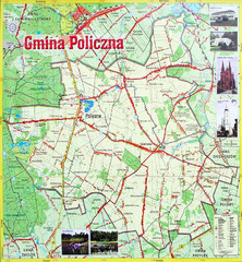
Policzna Commune Street Map
POLICZNA Commune, street map Ed. 2008 Size 2000 x 1250 mm Waterproof print-out verified for...
685 miles away
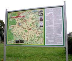
Policzna_Zwolen_Poland.jpg Map
Map of Policzna_Zwolen_Poland.jpg is another "all-proof" street map. 5 years on site...
685 miles away
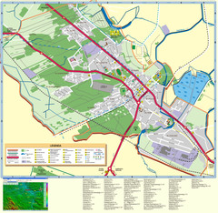
Kocienice_City_Plan-POLAND Map
Plan of City of Kozienice, PL
685 miles away
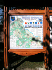
Kozienice_County_Poland_Streetmap.jpg Map
Street Map of Kozienice_County_Poland_Streetmap.jpg is added here because of the interesting wooden...
685 miles away
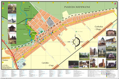
Garbatka_Letnisko_Poland.jpg Map
Map of Garbatka_Letnisko_Poland.jpg is a "city-village" plan. I do love to enter photos...
686 miles away
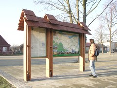
Sieciechow commune street map, PL Map
Sieciechow commune - street map Ed. 2007 Size 2000 x 1000 mm Type: administratie and touristic map
691 miles away
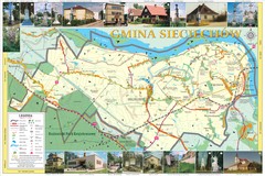
Sieciechow, Poland, Mazovia Map
Sieciechow commune map, Mazovia, PL
691 miles away
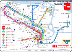
Gdansk Tram Route Map
Shows tram routes in Gdansk, Poland
692 miles away
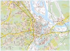
Gdansk Tourist Map
Tourist map of central Gdansk, Poland. Shows points of interest.
692 miles away
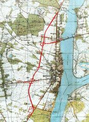
Serock Map
Town map of Serock, Poland. Not very much detail.
696 miles away
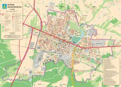
Minsk Tourist Map
Tourist map of Minsk, Poland. In Polish.
703 miles away
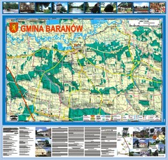
Baranow count wall map, PL Map
Baranow commune in Pulawy county, PL 3D big size wall map, surrounded by photos from Baranow area...
708 miles away


 Explore Maps
 Map Directory
