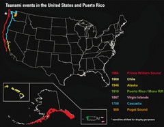
US Tsunami Events Map
Shows tsunami events in the US and Puerto Rico from 900 to 1964. Map not to scale. This map shows...
0 miles away
1772 × 1372•955 KB•JPG
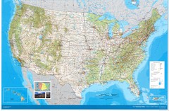
United States Map
Physical relief wall map of the United States.
183 miles away
Near United States
4800 × 3140•2.8 MB•JPG
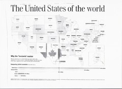
US GDP World Map
Labels each state in the US with the equivalent country in terms of GDP. Scanned.
183 miles away
Near US
2336 × 1696•718 KB•JPG
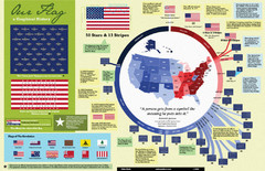
Our Flag: A Graphical Journey Map
A map/timeline that breaks down the visual history of the U.S. flag.
183 miles away
Near united states
2000 × 1294•2.7 MB•JPG
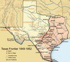
1849 Texan Frontier Forts Historical Map
451 miles away
Near Texas
670 × 600•146 KB•GIF
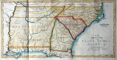
Southern Parts of the US Map
"This map was initially published in Morse's American Gazetteer in 1797 with Georgia...
973 miles away
2008 × 1048•374 KB•JPG
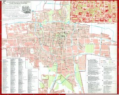
Bishkek City Map
City map of Bishkek, Kyrgyzstan (Бишкек). Shows streets and inset shows buildings in center...
6812 miles away
Near Bishkek, Kyrgyzstan
1900 × 1520•558 KB•JPG
page 1 of 1


 Explore Maps
 Map Directory
