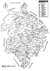
Warwichshire, England Region Map
0 miles away
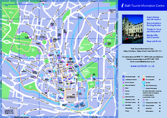
Bath City Map
72 miles away
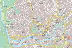
Central Bristol Tourist Map
Neighborhoods, landmarks and streets in Bristol, England
74 miles away
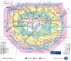
London, England Underground Map
78 miles away
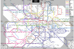
London Subway Map
78 miles away
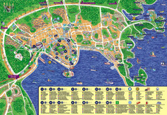
London Tourist Map
78 miles away
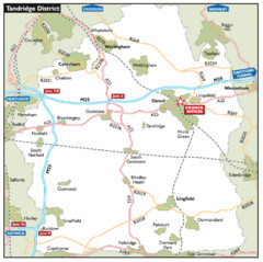
Tandridge District, England Region Map
93 miles away
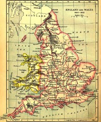
1660-1892 England and Wales Map
Guide to England and Wales from 1660-1892, showing topographic information
96 miles away
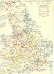
1887 - Prinicipal Railways in England and Wales...
Railways in England and Wales in 1887
99 miles away
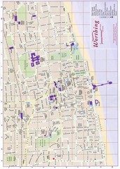
West Sussex, England Map
102 miles away
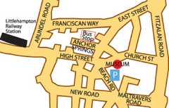
Museums in West Sussex, England Map
102 miles away
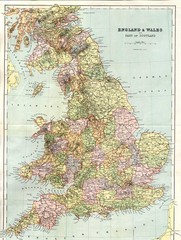
England and Wales Map
Guide to England, Wales and part of Scotland, showing counties
103 miles away
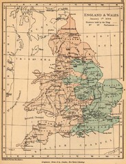
1644 England and Wales Political Map
Map showing districts held by teh King versus the Parliament during the Puritan Revolution
106 miles away
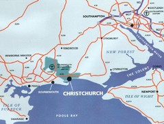
Christchurch, England Region Map
107 miles away
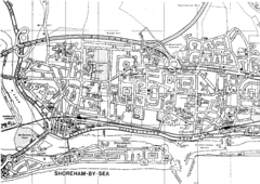
Shoreham-by-Sea, England City Map
111 miles away
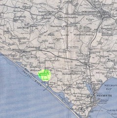
Dorchester, England Region Map
112 miles away
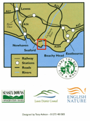
East Sussex, England Bus System Route Map
119 miles away
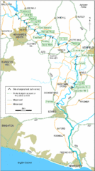
East Sussex, England City Map
119 miles away
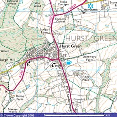
Hurst Green, England City Map
120 miles away
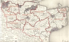
Kent, England County Map
121 miles away
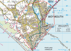
Weymouth, England Region Map
122 miles away
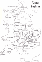
Tudor England Counties Map
Guide to the counties of England under Tudor reign
159 miles away
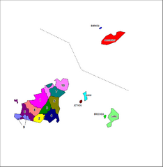
Guernsey Parish Map
Guide to the parishes of Guernsey, a British Crown Dependency in the English Channel
192 miles away
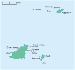
Guernsey Island Map
Guide to Guernsey, and island in teh English Channel
193 miles away
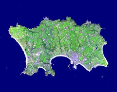
Jersey Physical Map
Guide to the Balliwick of Jersey, a British Crown Dependency
213 miles away
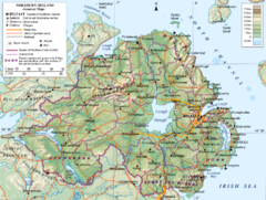
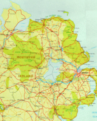
Northern Ireland General Map
Guide to Northern Ireland, major cities, topography and roads
271 miles away
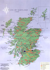
Scotland Road Map
Guide to Scotland, its major cities and roads
321 miles away
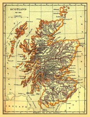
1641-1892 Scotland Map
Guide to Scotland and its counties, from 1641-1892
324 miles away
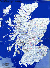
Scotland Clan Map
Guide to clans and prominent families in Scotland
329 miles away
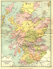
Scotland Counties Map
Map of Scotland and its counties
340 miles away
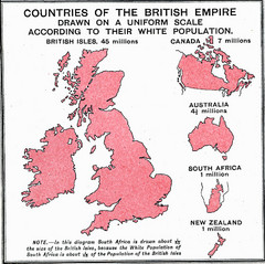
British Empire by Population Map
Guide to the British Empire by White Population, size of country determined by amount of white...
1394 miles away
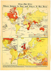
British Empire History Map
Guide to the rise and fall of the British Empire
1394 miles away

Tokyo Metro Map - official
Official Tokyo subway route map (English) from the Bureau of Transportation, Tokyo Metropolitan...
5931 miles away


 Explore Maps
 Map Directory
