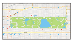
Central Park, New York Map
Central Park, New York map. A very detailed map with all roads, metro station and importand...
0 miles away
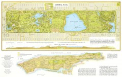
Central Park Map
1994 map of Central Park
less than 1 mile away
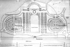
Central Park Conservatory Garden Map
Map of the Conservatory Garden in Central Park, New York City. Photo of outdoor map.
1 mile away
Riverside Park Map
Map of Riverside Park, New York. Illustrates all recreational activities, trails, bus stops and...
1 mile away
Upper Riverside Park Map
Riverside Park Map, Visitor Information as well as streets, bus routes, places to jog and bike.
2 miles away
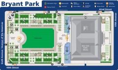
Map of Bryant Park
Map of Bryant Park in New York City
2 miles away
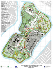
Randall's Island Park Map
Master plan for Randall's Island Park
3 miles away
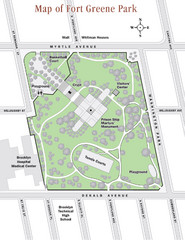
Fort Greene Park Map
Overview map of Fort Greene Park. Shows the park's historic structures and recreational...
6 miles away
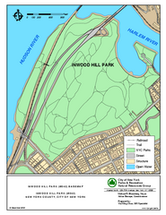
Inwood Hill Park Trail Map
Trail map of Inwood Hill Park located at the extreme northern tip of Manhattan. 136 acres.
7 miles away
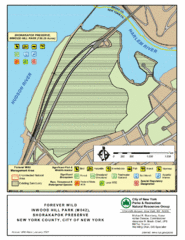
Inwood Hill Park Map
Park map of Inwood Hill Park in the Shorakapok Preserve, New York. 136 acres.
7 miles away
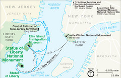
Statue of Liberty National Monument Map
Official NPS map of Statue of Liberty National Monument. Shows Statue of Liberty, Ellis Island, and...
7 miles away
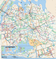
Queens, New York Bus Map
Official MTA Bus Map of Queens, NY. Shows all routes.
7 miles away
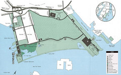
Liberty State Park Map
Map of Liberty State Park, New Jersey on the New York Harbor and next to Ellis Island. Shows...
7 miles away
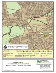
Forest Park Preserve Map
Map of Forest Park Preserve, Queens County, City of New York. 538 acres of trees and fields
8 miles away
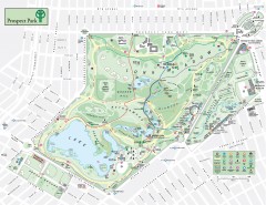
Prospect Park Map
Overview map of Prospect Park, a 585-acre city park located in the heart of Brooklyn. Designed by...
8 miles away
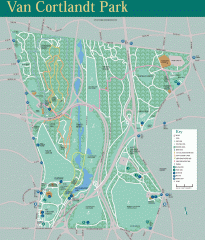
Van Cortlandt Park Trail Map
Trail map of Van Cortlandt Park in the Bronx. Covers 573 acres.
9 miles away
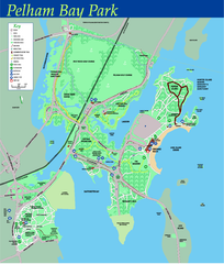
Pelham Bay Park NYC Map
Official detailed map of Pelham bay park, the largest park in New York City at 2,700 acres. Map...
10 miles away
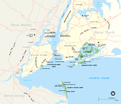
Gateway National Recreation Area Map
Park map of lands in the NPS Gateway National Recreation Area in New York and New Jersey. Shows...
14 miles away
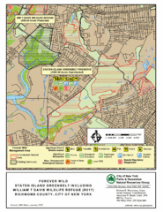
Staten Island Greenbelt Map
16 miles away
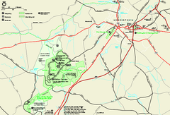
Morristown National Historical Park Official Map
Official NPS map of Morristown National Historical Park in New Jersey. Shows all areas. Tours...
27 miles away
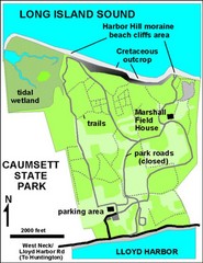
Caumsett State Park Map
Park map of Caumsett State Park on Long Island Sound, New York
28 miles away
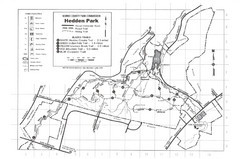
Hedden Park Map
Hedden County Park Trail Map
33 miles away
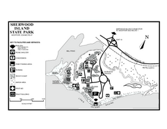
Sherwood Island State Park map
Trail and campground map of Sherwood Island State Park in Connecticut.
40 miles away
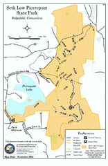
Seth Low Pierrepont State Park Reserve map
Trail map of Seth Low Pierreport State Park in Connecticut.
45 miles away
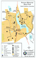
Putnam Memorial State Park map
Trail map for Putnal Memorial State Park in Connecticut,
49 miles away
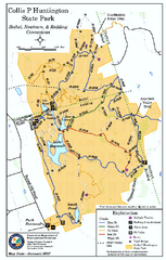
Collis P. Huntington State Park map
Trail map of Collis P. Huntington State Park in Connecticut
50 miles away
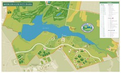
Mercer County Park Map
51 miles away
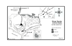
Silver Sands State Park map
Trail and campground map of Silver Sands State Park in Connecticut.
55 miles away
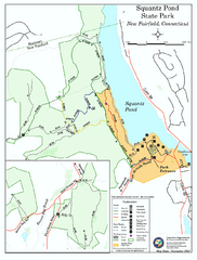
Squantz Pond State Park map
Trail and campground map for Squantz Pond State Park in Connecticut.
56 miles away
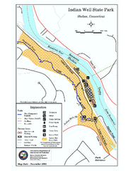
Indian Well State Park map
Trail map for Indian Well State Park in Connecticut.
58 miles away
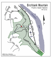
Birchbank Park Map
59 miles away
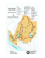
Osbornedale State Park map
Trail map of Osborndale State Park in Connecticut.
59 miles away
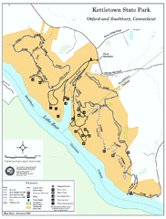
Kettletown State Park trail map
Trail map for Kettletown State Park in Connecticut.
59 miles away
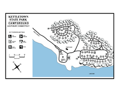
Kettletown State Park campground map
Campground map for Kettletown State Park in Connecticut.
59 miles away
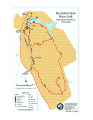
Southford Falls State Park map
Trail map for Southford Falls State Park in Connecticut.
63 miles away
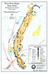
West Rock Ridge State Park map
Trail map of West Rock Ridge State Park in Connecticut.
66 miles away
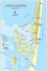
Island Beach State Park Canoe and Kayak map
Canoe and kayak guide to the Sedge islands in Island Beach State Park near Barnegat Bay, NJ. The...
66 miles away
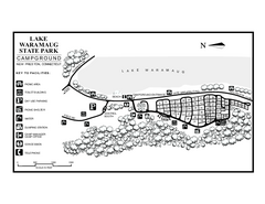
Lake Waramaug State Park campground map
Campground map of Lake Waramaug State Park.
71 miles away
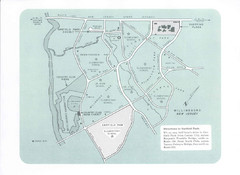
Willingboro Map
71 miles away
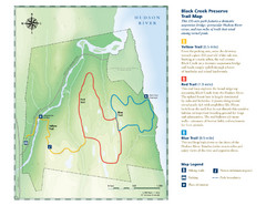
Black Creek Trail Preserve Map
Trail map of Black Creek Preserve on the Hudson River in New York. Shows Yellow Trail, Red Trail...
72 miles away


 Explore Maps
 Map Directory
