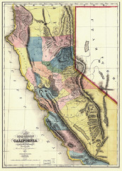
1851 California Regional Map
Great quality map of Californian regions in 1851.
0 miles away
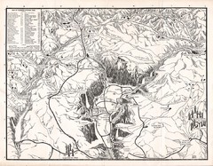
Yosemite National Park Map
Map of Yosemite National Park, 1948
70 miles away
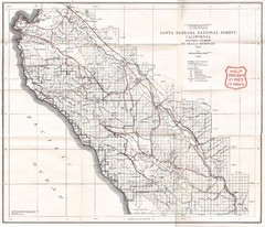
Santa Barbara National Forest 1924 Map
Los Padres National Forest Map. Prior to 1936 it was known as the Santa Barbara National Forest.
141 miles away
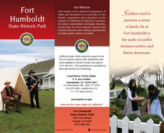
Fort Humboldt State Historic Park Map
Map of park with detail of trails and recreation zones
378 miles away
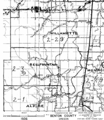
Transportaion for Benton County 1936 Map
1936 Map of Benton County, Oregon known as Muddy Area with counties, roads and towns marked
581 miles away
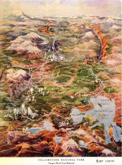
Detail of Yellowstone National Park, 1910 Map
Detail of Yellowstone National Park showing the Oregon Short Line Railroad, 1910
721 miles away
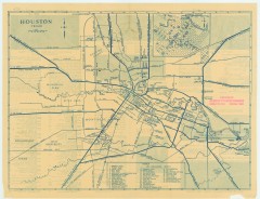
Antique map of Houston from 1935
Map of Houston, Texas from Texas State Library and Archives Commission, 1935
1468 miles away
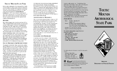
Toltec Mounds Archeological State Park Map
Map of the trails and earthworks sites of the Toltec Mounds Archeological State Park.
1535 miles away
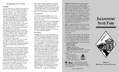
Jacksonport State Park Map
Map of Jacksonport State Park showing historical sites, trails, amenities and river access.
1564 miles away
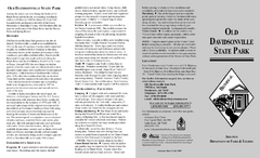
Old Davidsonville State Park Map
Map of Old Davidsonville State Park historical sites, amenites and other park sites.
1576 miles away
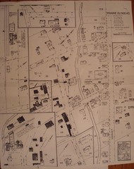
Prairie du Rocher City Map
Historical city map of Prairie du Rocher, Illinois
1606 miles away
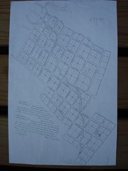
Prairie du Rocher City Map
Historical city map of Prairie du Rocher
1606 miles away
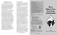
Delta Heritage Trail State Park Map
Map of Arkansas Historical Delta Heritage Trail both completed and uncompleted sections.
1620 miles away
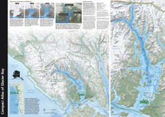
Glacier Bay National Park Map
Map of Glacier Bay National Park includes historical information about the bay as well as a...
1632 miles away
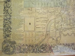
Beloit City Map
City map of Beloit, Wisconsin SW from 1858
1656 miles away
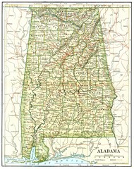
1891 Alabama Map
High quality 1891 Alabama map marking many cities and towns.
1869 miles away
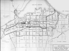
1959 Transit Routes of Hamilton Harbor Map
2123 miles away
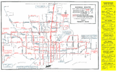
1952 Totonto Transit System Map
2145 miles away
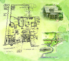
Dudley Farm Historic State Park Map
Map of park with detail of historical monuments
2176 miles away
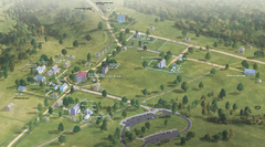
Appomattox Court House National Historical Park...
Detailed birds-eye view of the buildings in Appomattox Court House National Historical Park...
2224 miles away
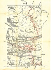
Lehigh Valley Railroad Historical Map
Built in 1846, this railroad was built primarily to haul coal. It was also known as the Route of...
2268 miles away
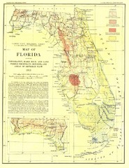
Topography of Florida Map
Topographic map of Florida that was developed in 1913. It shows the elevation changes that are...
2289 miles away
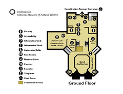
Floor Map of the Smithsonian National Museum of...
Official Floor Map of the Smithsonian National Museum of Natural History in Washington, D.C. Shows...
2300 miles away
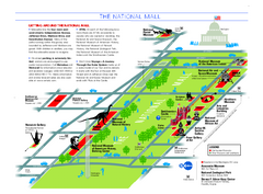
National Mall in Washington, D.C. Map
Official map of the National Mall, including the National Museum of Natural History and other...
2300 miles away
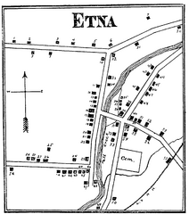
Etna 1897 City Map
Key to the Map of Etna (1897) 1. Mrs. C. Turner. 38. Blacksmith Shop. 2. J. T. Primrose. 39. Houtz...
2301 miles away
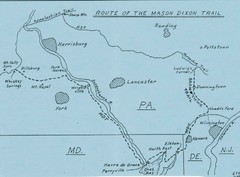
Mason Dixon Trail Map
Hand drawn map of the Mason-Dixon Trail. The 193 mile long Mason-Dixon Trail starts on the...
2325 miles away

Ogdensburg, New York Historical Map
A wonderful highlight are the art reproductions of homes and buildings which surround the map...
2337 miles away
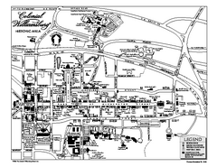
Map of Colonial Williamsburg
Historic map of Colonial Williamsburg in Virginia. Shows all roads, buildings and visitor center.
2338 miles away
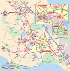
Williamsburg, Virginia Map
Williamsburg, Virginia Map and Visitor's Guide. Shows all streets, historic buildings...
2339 miles away
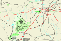
Morristown National Historical Park Official Map
Official NPS map of Morristown National Historical Park in New Jersey. Shows all areas. Tours...
2413 miles away
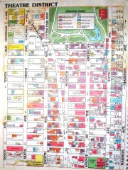
Times Square Map
Map of the Times Square area of New York City. Shows all areas.
2438 miles away
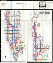
1974 Manhattan Bus Map
2440 miles away
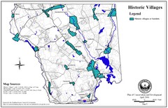
Historic Villages of Mansfield, Connecticut Map
Historical villages outlined on the map of the existing city.
2520 miles away
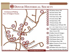
Dover Architectural Walking Map
Architectural walking tour of Hodgson Houses
2563 miles away
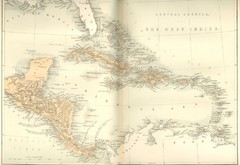
Central America and the West Indies Map
Historical Map of Central America and the West Indies Map
2865 miles away
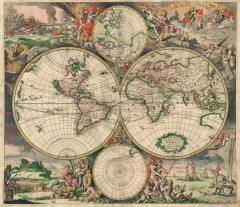
Old World map, 1689
Old World map, 1689, detail drawing.
4393 miles away
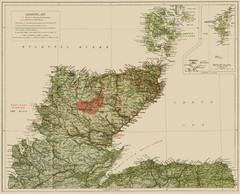
Sutherland Historical Map
Map of Sutherland and Caithness in Saga-Time
4879 miles away
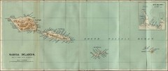
Samoa Islands 1889 Map
Historical map of Samoa islands from 1889
4896 miles away
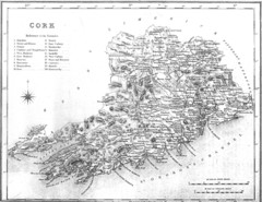
Cork County Map
Map of County Cork from 1800
5021 miles away
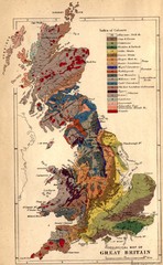
Great Britain Geological Map
Geological Map of Great Britain
5045 miles away


 Explore Maps
 Map Directory
