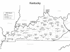
Kentucky Airports Map
0 miles away
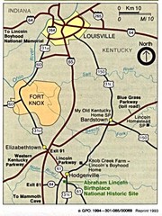
Louisville National Parks Map
National parks around Louisville.
82 miles away
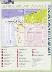
Downtown Louisville Restaurant Map
86 miles away
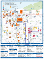
Louisville, Kentucky Tourist Map
86 miles away
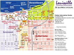
Louisville, Kentucky Tourist Map
86 miles away
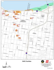
Louisville, Kentucky Tourist Map
86 miles away
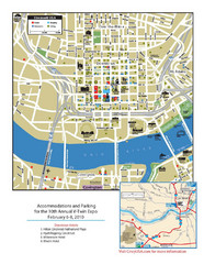
Cincinnati, Ohio Restaurant Map
91 miles away
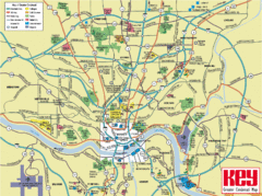
Cincinnati Tourist Map
91 miles away
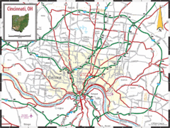
Cincinnati Tourist Map
91 miles away
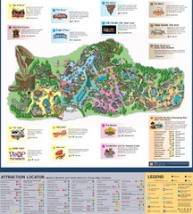
Paramount's Kings Island Map
104 miles away
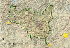
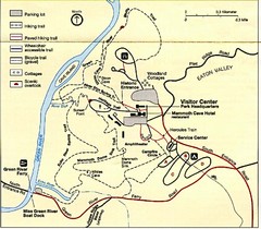
Mammoth Cave National Park Map
Visitor Center Area Map and Park Map. Topographical map that shows parameters of the park as well...
111 miles away
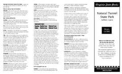
Natural Tunnel State Park Map
Detailed and informative state park map and legend.
114 miles away
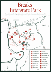
Breaks Interstate Park Map
Clear park map and legend.
115 miles away
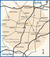
Atrium County Map
Map of Atrium County, Ohio. Includes all roads and towns.
115 miles away
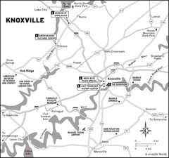
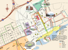
Knoxville, TN Tourist Map
128 miles away
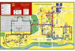
Knoxville, TN Tourist Map
128 miles away
Knoxville, TN Tourist Map
128 miles away
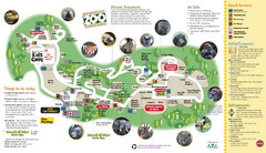
Knoxville Zoo Map
129 miles away
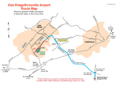
Knoxville and Oakridge Airports Map
131 miles away
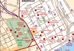
Knoxville, TN Tourist Map
131 miles away
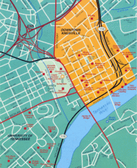
Knoxville, TN Tourist Map
131 miles away
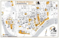
University of Tennessee Tourist Map
131 miles away
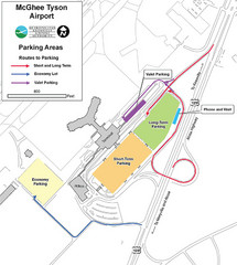
McGhee Tyson Airport Map
141 miles away
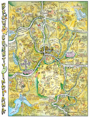
Brown County, Tennessee Tourist Map
143 miles away
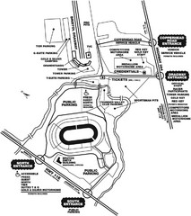
Bristol Dragway Map
Guide to campgrounds and parking at Bristol Dragway
144 miles away
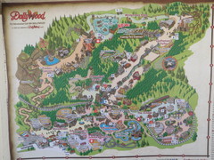
Dollywood Park Map
146 miles away
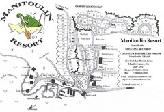
Manitoulin Resort Map
153 miles away
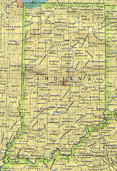
Indiana Map
154 miles away
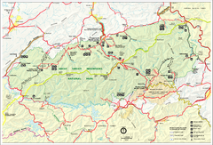
Great Smokey Mountains National Park Trail Map
Hiking trails.
157 miles away
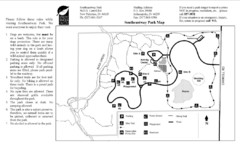
Southeastway Park Map
157 miles away
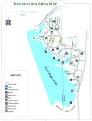
West Boggs Park Map
157 miles away

Restaurants in Columbus, Ohio Map
Local and chain restaurants in Columbus, Ohio
162 miles away
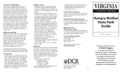
Hungry Mother State Park Map
Detailed map of this small state park.
165 miles away
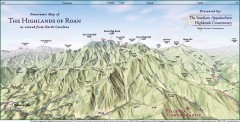
Panoramic Map of the Highlands of Roan (from NC)
Panoramic Map of the Roan Mountain Highlands as seen from North Carolina.
167 miles away

Roan Mountain Panorama Map
Panoramic Map of the View from the Baud Family Cabin of Roan Mountain, TN. The view overlooks...
167 miles away
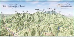
Panoramic Map of the Highlands of Roan (from TN)
Panoramic map of the Highlands of Roan as seen from Tennessee.
167 miles away
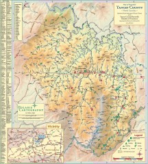
Yancey County Chamber of Commerce Map
Map of Yancey County, North Carolina. Shows all public roads, communities, hiking trails and picnic...
167 miles away
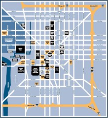
Indianapolis Tourist Map
168 miles away
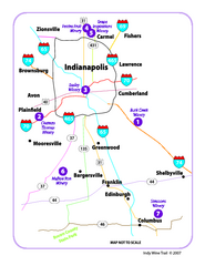
Indy Wine Trail Map
Map of the Indy Wine Trail of the Indianapolis area in Indiana. Shows wineries in the area.
171 miles away


 Explore Maps
 Map Directory
