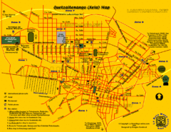
Quetzaltenango City Map
Large and detailed map.
0 miles away
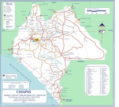
Chiapas Road Map
Road map of the Mexican state of Chiapas. Borders the Pacific Ocean and Guatemala. Shows roads and...
143 miles away
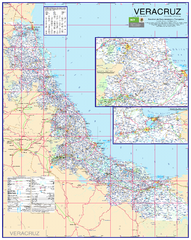
Veracruz Road Map
Detailed road map of the state of Veracruz. Inset of Veracruz city surroundings. In Spanish.
419 miles away
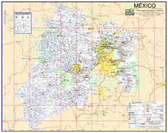
State of Mexico Road Map
Detailed road map of the Mexican state of Mexico. In Spanish.
621 miles away
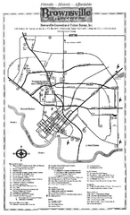
Brownsville Tourist Map
Tourist map of Brownsville with detail of local attractions
858 miles away
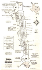
South Padre Island Map
Tourist map of South Padre Island
861 miles away
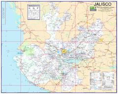
Jalisco Road Map
Detailed road map of the state of Jalisco. In Spanish.
886 miles away
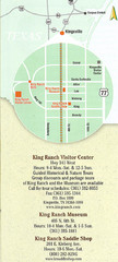
Kingsville Map
Map of Kingsville, with detail of main city-sites
967 miles away
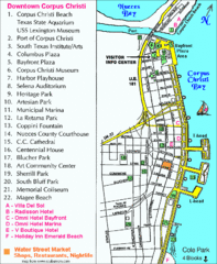
Downtown Corpus Christi Map
Tourist map of downtown Corpus Christi, with detail of local attractions
973 miles away
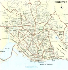
Kingston Street Map
Street map of city of Kingston, Jamaica.
1001 miles away
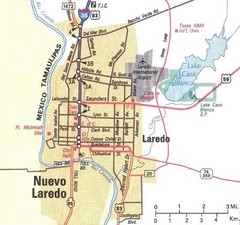
Downtown Laredo Map
Map of main roads in downtown Laredo
1017 miles away
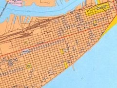
Galveston City Map
Street map of Galveston
1022 miles away
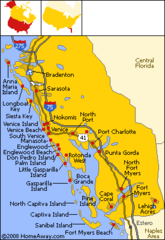
Bradenton Beach Map
Bradenton Beach and surrounding beach map.
1046 miles away
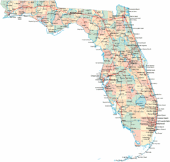
Florida Road Map
1070 miles away
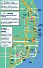
Fort Lauderdale Map
Fort Lauderdale and surrounding area map, including Airports and airport details.
1075 miles away
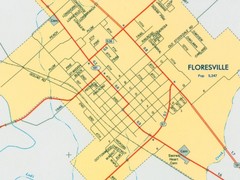
Floresville City Map
Street map of Floresville
1076 miles away
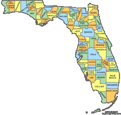
Florida Counties Map
1096 miles away
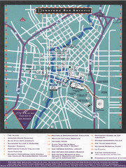
Downtown San Antonio Map
Tourist street map of downtown San Antonio
1103 miles away
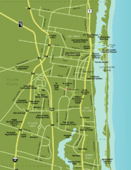
Port St. Lucie Map
Map of Port Saint Lucie.
1123 miles away
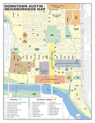
Downtown Austin District Map
Street map of downtown Austin with detail of districts
1138 miles away
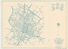
Austin Area Highway Map 1940
General Highway Map. Detail of Cities and Towns in Travis County, Texas [Austin] / 1940
1141 miles away
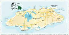
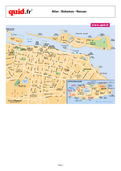
Nassau Island Map
1156 miles away
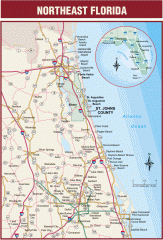
Northeast Florida Road map
A complete road map of the Northeast section of the state of Florida.
1194 miles away
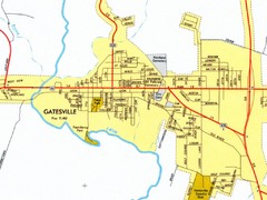
Gatesville City Map
Street map of Gatesville
1213 miles away
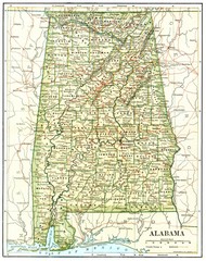
1891 Alabama Map
High quality 1891 Alabama map marking many cities and towns.
1244 miles away
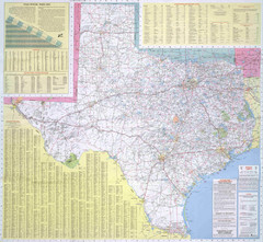
Texas Road Map
Official Texas DOT highway map. A bit blurry.
1253 miles away
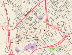
Downtown Dallas Map
Street map of downtown Dallas
1285 miles away
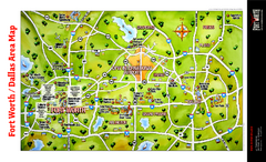
Dallas Fort Worth Area Map
Tourist map of Dallas/Fort Worth area
1288 miles away
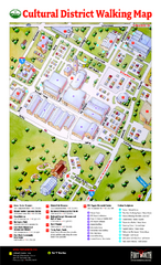
Fort Worth Cultural District Map
Tourist map of cultural district of Fort Worth
1292 miles away
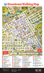
Downtown Fort Worth Map
Tourist map of downtown Fort Worth
1292 miles away
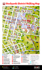
Fort Worth Stockyards District Map
Tourist map of Stockyards district
1295 miles away


 Explore Maps
 Map Directory
