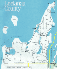
Leelanau County Lake Map
Lakes in Leelanau County.
0 miles away
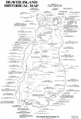
Beaver Island History Map
40 miles away
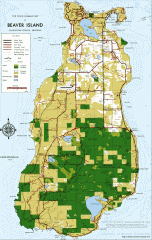
Beaver Island Michigan Map
Map of Beaver Island, Michigan. Created in 1977 by William Cashman and Edward Wojan. From...
41 miles away
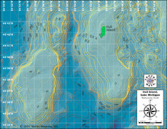
Gull Island Bathymetric Map
41 miles away
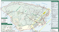
Mackinac Island Map
Tourist map of Mackinac Island, Michigan. Shows attractions.
72 miles away
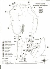
Grand Island National Recreation Area Map
110 miles away
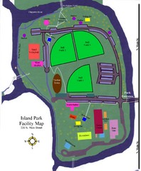
Island Park Facility Map
111 miles away
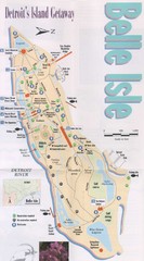
Belle Isle Tourist Map
Tourist map of Belle Isle, Detroit's island get-away
232 miles away
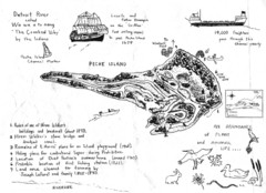
Peche Island Map
Hand-drawn map of Peche Island, Michigan
233 miles away
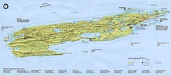
Isle Royale National Park Map
254 miles away
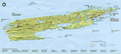
Isle Royale National Park Map
Park map of Isle Royal National Park. Scanned.
254 miles away
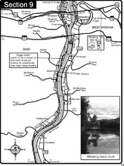
Ohio River at Wheeling, WV and 10 miles downriver...
This is a page from the Ohio River Guidebook. The map shows important information for boaters and...
432 miles away
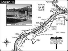
Ohio River at Marietta, OH and 8 miles downriver...
This is a page from the Ohio River Guidebook. The map shows important information for boaters and...
448 miles away
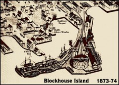
Blockhouse Island Map 1874
Bird’s Eye view map of Brockville created by artist Herman Brosius and the lithographers...
489 miles away
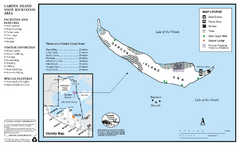
Garden Island State Recreation Area Map
Map of park with detail of trails and recreation zones
518 miles away
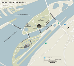
Parc Jean Drapeau Map
Park map of Parc Jean Drapeau in the St. Lawrence River, Montreal
589 miles away
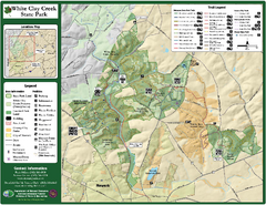
White Clay Creek State Park Map
Clear map and legend of this beautiful state park.
625 miles away
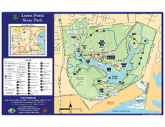
Lums Pond State Park Map
Clear legend and map of this wonderful state park.
634 miles away
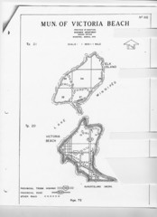
Victoria Beach and Elk Island Map
638 miles away
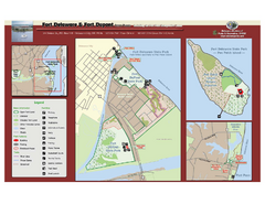
Fort Delaware State Park Map
Nice park on a beautiful island.
639 miles away
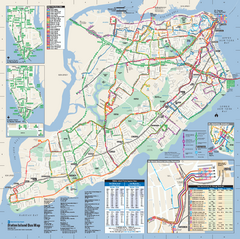
Staten Island Bus Map
Official Bus Map of Staten Island. Shows all routes.
659 miles away
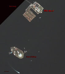
Ellis Island and Statue of Liberty Map
Aerial map of Ellis Island and the Statue of Liberty
660 miles away
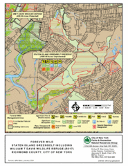
Staten Island Greenbelt Map
661 miles away
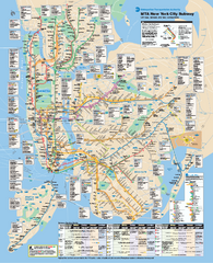
New York City MTA Subway Map
Official subway map for New York City
661 miles away
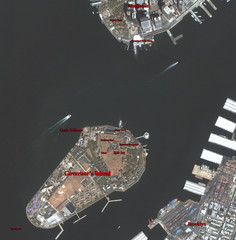
Governor's Island Map
Aerial photo view map of Governor's Island, New York
662 miles away
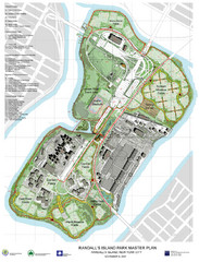
Randall's Island Park Map
Master plan for Randall's Island Park
662 miles away

City Island Street Map
Street map of City Island, New York
666 miles away
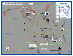
Killens Pond State Park Map
Map of Delaware State Park.
668 miles away
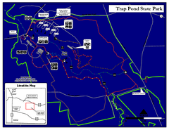
Trap Pond State Park Map
Delaware State Park map.
693 miles away
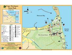
Cape Henlopen State Park Map
Beautiful park with delightful recreational activities.
695 miles away
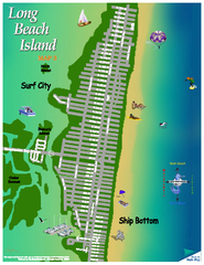
Ship Bottom, New Jersey Map
695 miles away
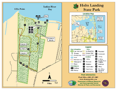
Hots Landing State Park Map
Clear map and legend.
698 miles away
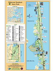
Deleware Seashore State Park Map
Park with perfect views and hiking routes.
703 miles away
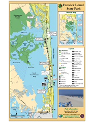
Fenwick Island State Park Map
Great state park map with clear key.
710 miles away
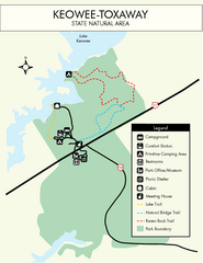
Keowee Toxaway State Park Map
Clear and detailed map of this wonderful state park.
718 miles away
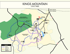
Kings Mountain State Park Map
Clearly marked state park map.
726 miles away
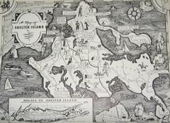
Shelter Island Map
Old Shelter Island map circa 1930s
726 miles away
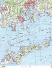
Fishers Island Map
In Long Island Sound
735 miles away
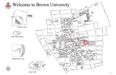
Brown University Map
748 miles away


 Explore Maps
 Map Directory
