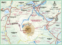
Mt. Fuji Area Map
Topographical map of the summit and area around Mt. Fuji-san, Japan
0 miles away
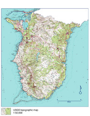
Guam Topo Map - South
Topo map of southern portion of island of Guam. 1:50,000 scale.
1569 miles away
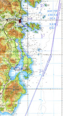
Cam Ranh Bay Topo Map
Topo map of Cam Ranh Bay, Vietnam on the South China Sea
2453 miles away
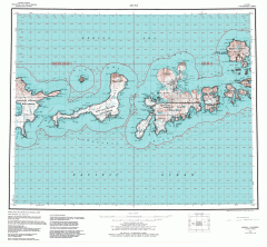
Adak Alaska Topo Map
Topo map of former military outpost. 1:250,000 Scale. City incorporated in 2001.
2460 miles away
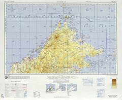
Sandakan Topo Map
Topo map of region of Sabah, Malaysia
2480 miles away
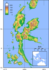
Halmahera Topography Map
Shows color coded shaded relief of island of Halmahera, Indonesia.
2501 miles away
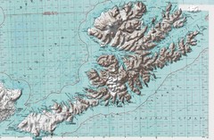
Unalaska Island Topo Map
2873 miles away
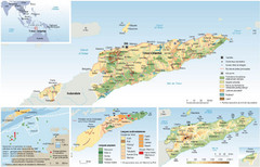
East Timor Map
Four part map shows biomes, offshore Kelp oil deposits, languages, and topology of East Timor
3165 miles away
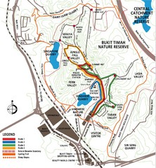
Bukit Timah Nature Reserve Map
Shows hiking and biking trails in Bukit Timah Nature Reserve in Singapore
3252 miles away
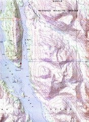
Kodiak Island Topo Map
Topo map of small portion of Kodiak Island
3392 miles away
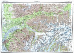
Anchorage Chugach State Park Topo Map
Topographic map of Chugach State Park, Anchorage, and surrounding area.
3547 miles away
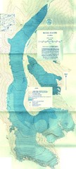
McCall Glacier Topo Map
Topographic map of the McCall Glacier in Alaska.
3654 miles away
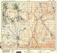
Ura Tube Region Topo Map
Topographical and road map of the Ura Tube, Tajikistan region. "Istaravshan (former Urateppe...
3726 miles away
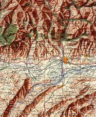
Stalinabad 1956 Map
Road Map of Area around Dushanbe formerly Stalinabad.
3776 miles away

Fan Mountains Topo Map
Topographical map of the Fan Mountains (Fans) in Tajikistan. Home of over 10 5000+ meter peaks...
3789 miles away
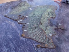
Oahu 3D Map
Topographical map of the island of Oahu. Photo taken of model at Pearl Harbor
3903 miles away
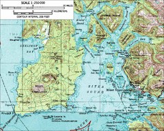
Mount Edgecumbe Topo Map
Topographic map of Mt. Edgecumbe and Sitka, Alaska. Mt. Edgecumbe is a 3000 foot inactive volcano...
4063 miles away
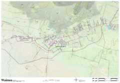
Waimea Hawaii Map
4082 miles away
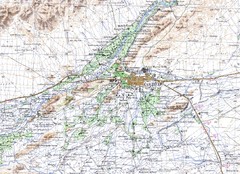
Kandahar Area Topo Map
Topo map of Kandahar, Afghanistan.
4123 miles away
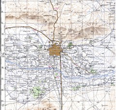
Herat Topo Map
original scale 1:200,000 Portion of Soviet General Staff map I-41-XV
4226 miles away
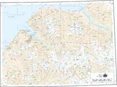
Longyearbyen Area Topo Map
Topo map of area around Longyearbyen, Svalbard Islands
4253 miles away
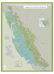
BC and Alaska Coastal Forest and Mountains Map
Relief map of coastal forest and mountains of southeast Alaska and British Columbia
4375 miles away
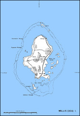
Wallis Topo Map
4474 miles away
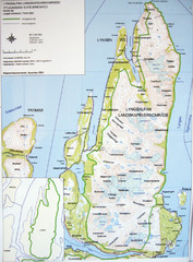
Lyngen Peninsula Map
Topo map of the northern Lyngen Peninsula near Tromso, Norway. Shows peaks. From photo.
4560 miles away
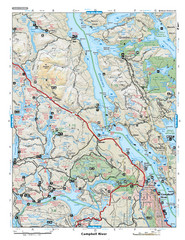
Campbell River Area Map
Vancouver Island, Victoria & Gulf Islands
4635 miles away
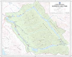
Bowron Lake Park Map
Topographical map of Bowron Lake Park
4639 miles away
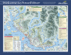
Upper Sunshine Coast Recreation Map
Recreation map of Upper Sunshine Coast in BC. Shows hiking trails, kayaking and canoeing routes...
4683 miles away
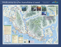
Lower Sunshine Coast Recreation Map
Recreation map of the Lower Sunshine Coast in BC. Shows hiking trails, mountain biking trails...
4717 miles away
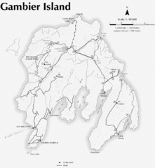
Gambier Island Trail Map
Trail map of Gambier Island, BC. See site for trail descriptions and details.
4734 miles away
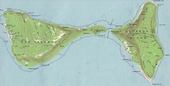
Ofu Olosega Islands Map
Topo map of islands of Ofu and Olosega, American Samoa
4812 miles away
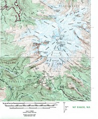
Mt. Baker Topo Map
Topo map of Mt. Baker, Washington, elevation 10,778ft.
4821 miles away
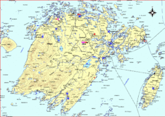
Vega Island Map
4909 miles away
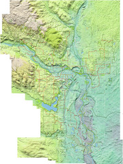
Calgary Topo Bike Map
This map shows the city of Calgary's bike routes. The topographic representation of the...
5023 miles away
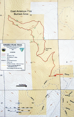
Grizzly Peak Trail Map
Topographic trail map of Grizzly Peak near Ashland, Oregon. Shows trails and distances. From...
5024 miles away
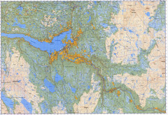
Selbu Norway Area Map
5050 miles away
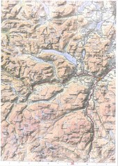
Oppdal Topo Map
Topo map of Oppdal, Norway region
5120 miles away
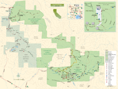
Sugarloaf Ridge State Park Map
Trail map of Sugarloaf Ridge State Park
5171 miles away
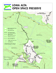
Loma Alta Preserve Map
Topographical trail map of Loma Alta Preserve in Marin County, California
5184 miles away
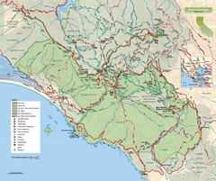
Mount Tamalpais State Park Map
Topographic trail map of Mt Tamalpais State Park in Marin County, California.
5189 miles away
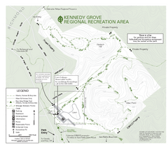
Kennedy Grove Recreation Area Trail Map
222-acre park
5202 miles away


 Explore Maps
 Map Directory
