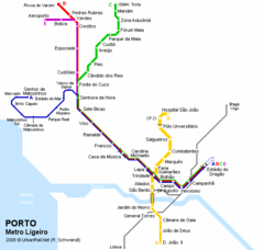
Porto Metro Ligeiro Map
Transit map of city's light rail system
0 miles away
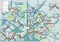
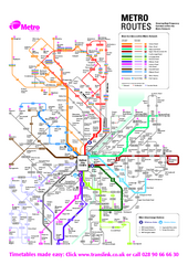
Southampton Public Transport Map
Public transport map of Southampton, England
757 miles away
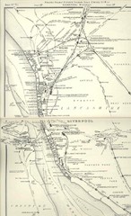
Liverpool Railway Map
Guide to historic rail lines around Liverpool
888 miles away
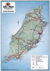
Isle of Man Transportation Map
924 miles away
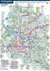
Dusseldorf Public Transport Network Map
Official Rheinbahn map shows municipal-rail, light rail and tramway system, as well as a close-knit...
1010 miles away
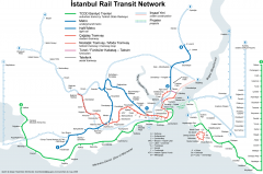
Istanbul Rail Transit Network Map
Shows suburban trains, metro (underground trains), light rail, modern tramways, historic tramways...
1944 miles away
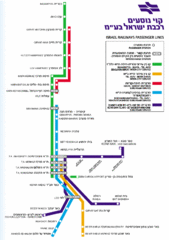
Israel Railways Map
Map of railway lines throughout countries
2486 miles away
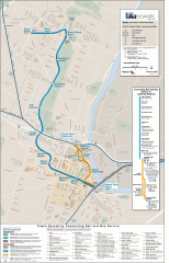
Newark Light Rail system Map
Newark Light rail system
3338 miles away
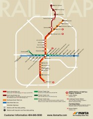
Atlanta MARTA rail map
Official rail map of the Metropolitan Atlanta Rapid Transit Authority.
4061 miles away

Austin MetroRail Map
CapMetro MetroRail map in Austin Texas, completed by 3/30/09.
4838 miles away
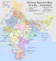
India Railway Network Schematic Map
Schematic rail map of India showing trunk and other routes.
5177 miles away
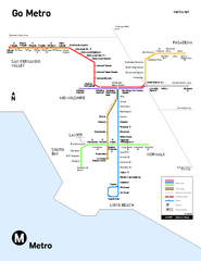
Los Angeles Metro Rail system map
Official map of the LA Metro Rail system. Comprised of the Metro Blue, Green, Red, Purple and Gold...
5593 miles away
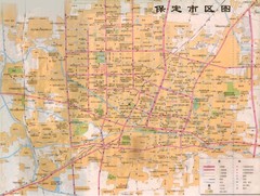
Baoding Tourist Map
Map of downtown Baoding, not in English
5890 miles away
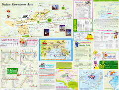
Dalian Tourist Map
Tourist map of Dalian, China. Inset maps show downtown Dalia, light rail, bus routes, and...
6087 miles away

Shanghai Metro Map
Map of Shanghai metro lines and stops
6516 miles away
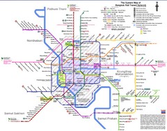
Bangkok Rail Transit Network Map
Map of transit system
6555 miles away
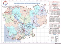
Cambodian National Road Map (also Index to...
Searching the red names on this map will help you find each province's road map.
6795 miles away
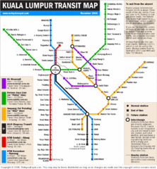
Kuala Lumpur Transit Map
Transit map
7124 miles away
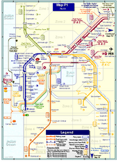
Perth Rail Map
Map of rail system throughout Perth and surrounding area
9354 miles away
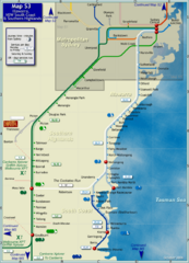
Illawarra Rail Map
Map of rail system throughout Illawarra, New South Wales South Coast, and Southern Highlands
9363 miles away
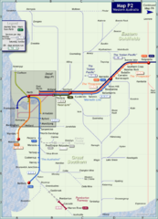
Western Australia Rail Map
Map of long-distance rail system throughout Western Australia
9371 miles away
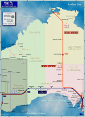
Central Australia Rail Map
Map of long-distance rail system throughout Central and Northern Australia
9790 miles away
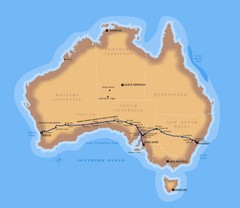
Indian Pacific Railroad Route Map
Detailed route map of the Indian Pacific Railroad. Shows the world's longest straight stretch...
10037 miles away
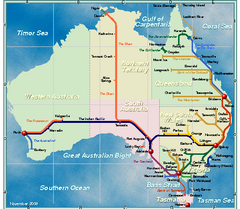
Australia Rail Map
Map of entire rail system throughout Australia
10037 miles away
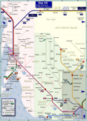
South Australia Map
Map of long-distance rail system throughout South Australia and Western Victoria
10382 miles away
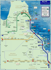
Northern Queensland Rail Map
Map of long-distance rail system throughout Northern Queensland
10420 miles away
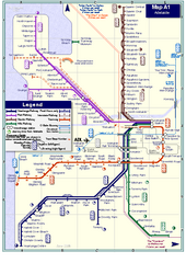
Adelaide Rail and Tram Map
Map of rail and tram systems throughout Adelaide and surrounding area
10626 miles away
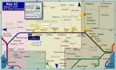
Western New South Wales Map
Map of long-distance rail system throughout Western New South Wales and East South Australia
10965 miles away
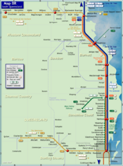
Southern Queensland Rail Map
Map of long-distance rail system throughout the Southern Queensland region
10998 miles away
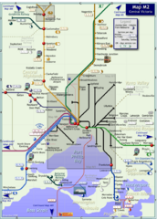
Central Victoria Rail Map
Map of rail system throughout Central Victoria region
11024 miles away


 Explore Maps
 Map Directory
