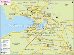
Bhopal City Map
Roads, towns and points of interest are marked on this clear map and legend.
0 miles away
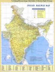
India Railway and Tourist Map
Railway and tourist map of India.
208 miles away
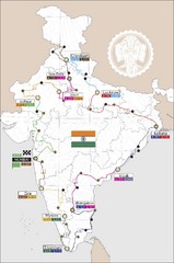
India Transportation Map
208 miles away
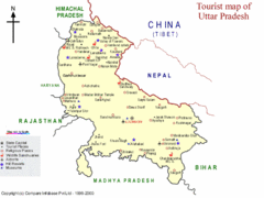
Uttar Pradesh Tourist Map
332 miles away
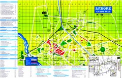
Lahore Tourist Map
Tourist map of Lahore, Pakistan. Shows hotels and other points of interest.
609 miles away
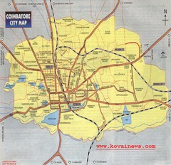
Coimbatore City Map
City map of Coimbatore
847 miles away
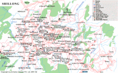
Shillong City Map
Streets, points of interest and more are clearly labeled on this map and legend.
924 miles away
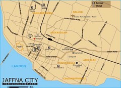
Jaffna City Map
Simple map of this small coastal city.
954 miles away
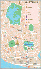
Yangon Myanmar or Rangoon Burma city map
City map of downtown Yangon, Myanmar aka Rangoon, Burma. Shows points of interest and major pagodas.
1294 miles away
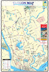
Yangon Tourist Map
Tourist map of Yangon, Myanmar. Also known as Rangoon. Shows pagodas and other points of interest.
1294 miles away
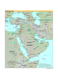
Middle East Map
1400 miles away
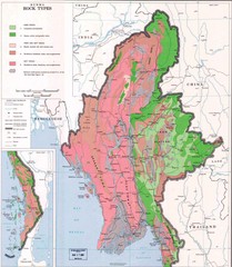
Myanmar (Burma) Rock Types Map
Geological Map of Myanmar
1561 miles away
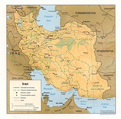
Iran Map
Map of Iran showing cities, provinces, railroads and roads.
1580 miles away
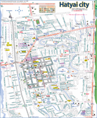
Hat Yai Map
1899 miles away
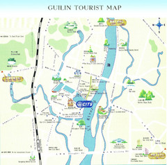
Guilin Tourist Map
Guilin Tourist Map, Guilin maps, maps of Guilin
2072 miles away
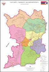
Map of the Nagorno-Karabakh Republic (Artsakh)
Administrative Map of the Nagorno-Karabakh Republic (Republic of Artsakh)
2115 miles away
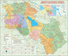
Karabakh & Armenia Map
Map of Armenian states - the Republic of Armenia and the Nagorno-Karabakh Republic
2122 miles away
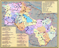
Monuments of Armenia and Nagorny Karabakh Map
Monuments of modern Armenian states - the Republic of Armenia (Ararat Republic) and the Nagorno...
2122 miles away
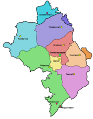
Administrative Map of Nagorny Karabakh (Artsakh)
Administrative Division of the Nagorno-Karabakh Republic (Artsakh)
2123 miles away
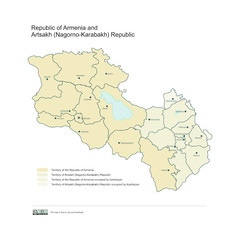
Map of Armenian states - the Republic of Armenia...
Map of Armenian states - the Republic of Armenia and the Nagorno-Karabakh Republic
2124 miles away
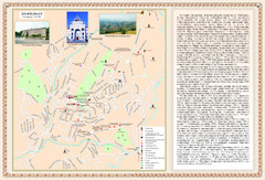
Stepanakert City Map
Map of Stepanakert, Nagorno-Karabakh Republic (Artsakh)
2124 miles away
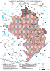
Karabakh Map
Up-to-date Map of the Nagorno-Karabakh Republic (Republic of Arstakh)
2124 miles away
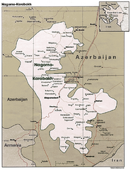
Nagorno-Karabakh Map
Major towns and borders are clearly marked on this map.
2128 miles away
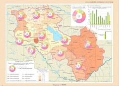
Educational Attainment in Armenia and Nagorny...
Map of Educational Attainment in the Armenian states - Republic of Armenia and the Nagorno-Karabakh...
2132 miles away
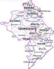
Map of the NKR
Map of the Nagorno-Karabakh Republic (Republic of Artsakh)
2135 miles away
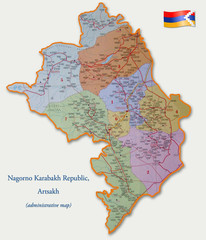
Map of the Nagorno-Karabakh Republic (Artsakh)
Administrative Map of the Nagorno-Karabakh Republic (Republic of Artsakh)
2136 miles away
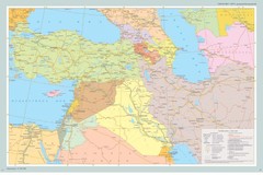
Map of Near East And South Caucasus
Map of Near East and South-Caucassian countries
2146 miles away
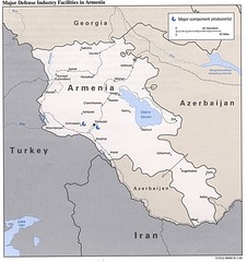
Armenia Defense Facilities Map
Map of major defense industry facilities in Armenia
2215 miles away
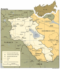
Armenia Map
Map of Armenia showing cities, roads and railways as well as international boundaries.
2215 miles away
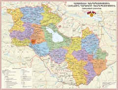
Administrative Map of Armenia & Nagorny...
Administrative Map of the Republic of Armenia and the Nagorno-Karabakh Republic
2215 miles away
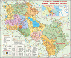
Map of the Republic of Armenia and the Nagorno...
Map of modern Armenian states - the Republic of Armenia and the Nagorno-Karabakh Republic (Artsakh)
2215 miles away
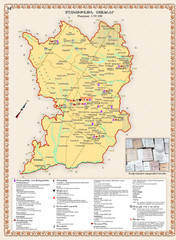
Karabakh Map
Cultural Centers of the Nagorno-Karabakh Republic (Artsakh)
2215 miles away
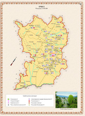
Karabakh Map
Sport Facilities of the Nagorno-Karabakh Republic (Artsakh)
2215 miles away
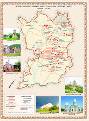
Karabakh Map
Artsakh Diocese of the Armenian Apostolic Church in the Nagorno-Karabakh Republic (Artsakh)
2215 miles away
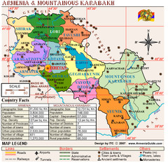
Armenia & Nagorny Karabakh Map
Map of Armenia & Nagorny Karabakh (Artsakh)
2215 miles away


 Explore Maps
 Map Directory
