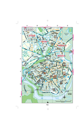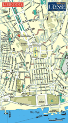
Lisbonne City Map
Simple and clear road map.
0 miles away
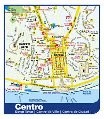
Lisbon Downtown Tourist Map
Tourist map of central Lisbon, Portugal. Shows hotels, restaurants, museums, and other points of...
less than 1 mile away
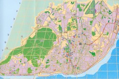
Lisbon Street Map
City street map of Lisbon, Portugal
2 miles away
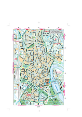
Cordoba Street Map
Street map of central Cordoba, Spain.
243 miles away
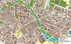
Valencia Street Map
Street map of central Valencia, Spain. Shows some hotels. Scanned.
473 miles away
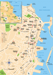
Algiers Street Map
Shows streets and major points of interest
680 miles away
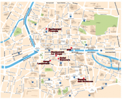
Rennes Street Map
Street map of the city center of Rennes, France. Shows building names and parking. Some points of...
750 miles away
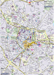
Montpellier Tourist Map
Tourist map of Montpellier, France. Shows points of interest.
757 miles away
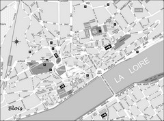
Blois Street Map
808 miles away
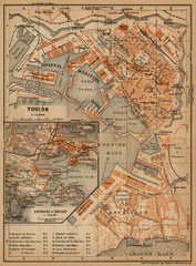
Toulon Map
The following maps are from "Southern France Including Corsica; Handbook for Travellers"...
843 miles away
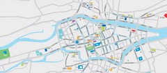
Cork City Map
Street map of Cork City
913 miles away
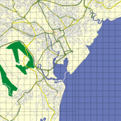
Cardiff Street Map
Street map of Cardiff, Wales area.
929 miles away
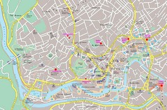
Bristol Centre Map
937 miles away
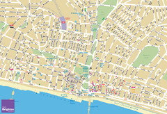
Brighton Tourist Map
Street map of Brighton, UK. Shows gay points of interest.
946 miles away
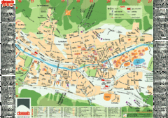
Chamonix Tourist Map
Tourist street map of Chamonix, France. In French.
956 miles away
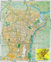
Torino Street Map
Street map of central Torino (Turin), Italy.
969 miles away
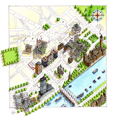
London Westminster Map
Aerial Map of Westminster london, showing the Houses of Parliament
986 miles away

Birmingham City Map
Street map of Birmingham, England. Shows buildings, hospitals, parking, and schools.
1014 miles away
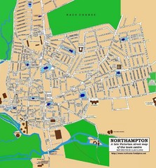
Northampton Town Map
Street map of Northampton from the late Victorian period
1016 miles away
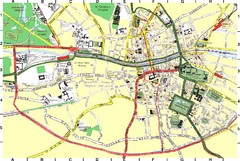
Dublin City Map
City map of central Dublin, Ireland.
1022 miles away
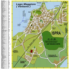
Ispra Town Map
Town map of Ispra, Italy on east side of Lake Maggiore (Lombardy region, Northern Italy). With...
1030 miles away
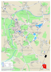
Cambridge Area Map
City map of Cambridge, England. Shows public facilities.
1034 miles away
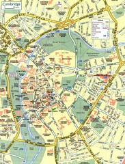
Cambridge Street Map
Street map of central Cambridge, England. Shows University of Cambridge.
1034 miles away
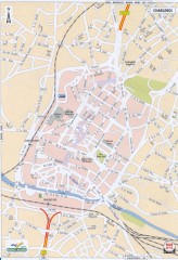
Charleroi Street Map
Street map of Charleroi, Belgium. Major buildings labeled.
1047 miles away
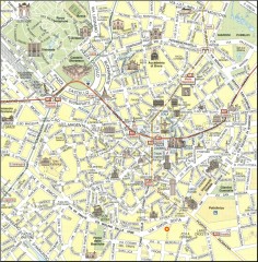
Milan Tourist Map
Tourist map of central Milan, Italy. Shows major buildings.
1047 miles away
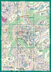
Luxembourg City Street Map
Street map of Luxembourg city and surrounding area.
1065 miles away
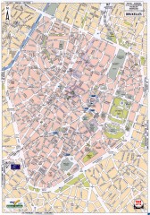
Brussels Street Map
Street map of the center of Brussels, Belgium (Brussel, Bruxelles). Major buildings labeled.
1066 miles away
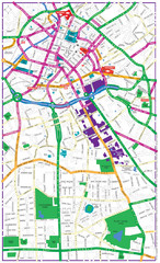
Manchester Tourist Map
Tourist map of Manchester, UK. Shows points of interest.
1072 miles away
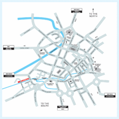
Manchester Overview Map
1073 miles away
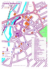
Central Rotherham Map
1083 miles away

Blackpool Street Map
Street map of city of Blackpool, UK.
1084 miles away
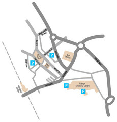
Wakefield Center Street Map
Crude street map of center of Wakefield, UK.
1097 miles away
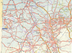
Maastricht Map
Highway map of Maastricht area
1107 miles away
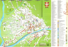
Bormio Tourist Map
Tourist map of town of Bormio, Italy. Legend of all streets and services.
1125 miles away
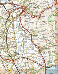
Cortona Road Map
1143 miles away
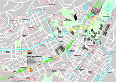
Stuttgart Street Map
Street map of Stuttgart, Germany. Show major buildings and public transport routes.
1145 miles away
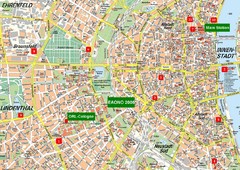
Cologne Map
Street map of Cologne, Germany. In German.
1152 miles away
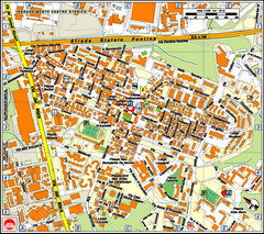
Pomezia Tourist Map
Tourist map of center of Pomezia, Italy. Shows points of interest with symbols (hard to read).
1158 miles away
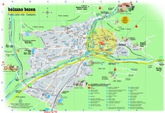
Bolzano Tourist Map
Tourist map of Bolzano, Italy.
1169 miles away


 Explore Maps
 Map Directory
