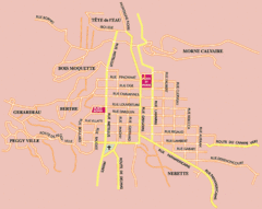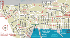
Ushuaia City Map
Streets and roads are labeled on map.
0 miles away
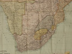
South Africa Historical Map
Bacon’s New Large Scale Map of South Africa. G. W. Bacon, London 1890. Showing all the latest...
4571 miles away
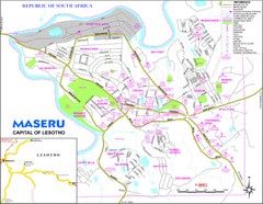
Maseru City Map
Map and legend of this Lesotho Capitol.
4808 miles away
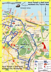
Parnell, Auckland Tourist Map
Tourist & Visitor Map showing tourist attractions, hotels, suggested walks and bus routes.
5098 miles away
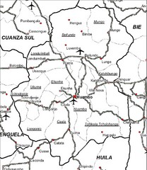
Huambo City Map
Simple road map marking streets and airports.
5136 miles away
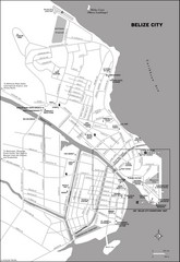
Belize City map
Detailed map of the Belize City road system.
5137 miles away
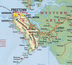
Freetown Map
Clear map of this amazing peninsula.
5401 miles away
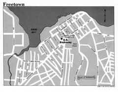
Freetown City Map
Road map of this Sierra Leone Capitol.
5401 miles away
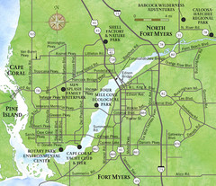
Cap Coral and Surrounding Area Map
Small, humble fishing community along the coast of Florida.
5690 miles away
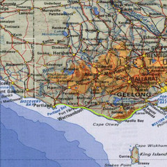
Great Ocean Road, Australia Tourist Road Map
A road map of Great Ocean Road in Southern Australia
5719 miles away
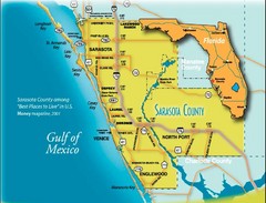
Sarasota Map
Sarasota county map and road system.
5744 miles away
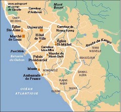
Libreville City Map
Simple map marking towns and roads.
5759 miles away
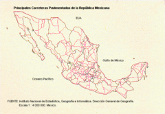
Main Roads in Mexico Map
5794 miles away
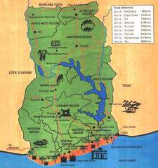
Ghana Tourist Map
Tourist map of Ghana with roads, distances and some tourist sites identified.
5795 miles away
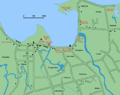
Apia Road Map
Simple map marking rivers and roads.
5970 miles away
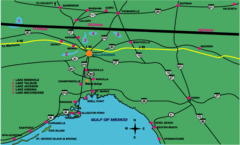
Tallahassee Freeway Map
Freeways and road leading to and from Tallahassee.
5970 miles away
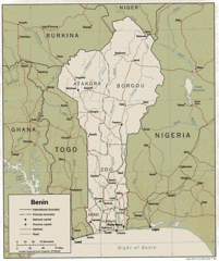
Benine Map
Map and legend clearly marking railroads, roads and borders.
5998 miles away
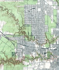
Houston Street and House level Map
Houston topo map with streets, buildings, towns
6067 miles away
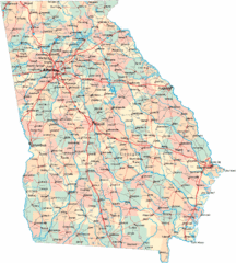
Georgia Road Map
Detailed, colorful road map of the state of Georgia.
6110 miles away
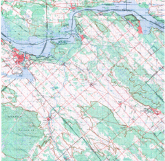
Upper Ottawa Valley, Ontario Topographic Map
Very mixed terrain, with several areas of rough, woods, water, and towns.
6234 miles away
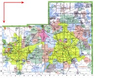
Dallas/ Fort Worth Map
Metropolitan Map of Dallas and Fort Worth. Includes highways, roads, towns and county divisions.
6292 miles away
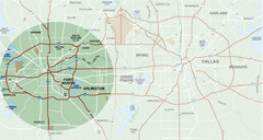
Fort Worth Surrounding Area Map
Metroplex map showing Fort Worth and it's connections to Dallas
6295 miles away
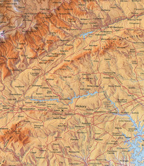
North Carolina Mountains Map
Location of the South, Brushy, and Blue Ridge Mountain ranges in Western North Carolina.
6310 miles away
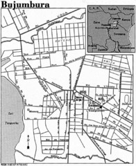
Burundi City Map
Simple city map labeling road systems.
6358 miles away
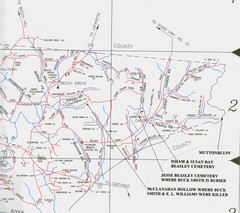
Trousdale County Muttonbluff Map
Pictured is a part of a map of Trousdale County containing the extreme northeast section. The...
6395 miles away
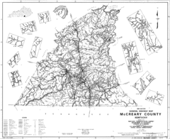
Mccreary County General Highway Map
Map of McCreary County with road, waterways and towns identified.
6401 miles away

Chesapeake Water Table Elevation Map
Water Resource Protection data for Chesapeake Bay
6407 miles away
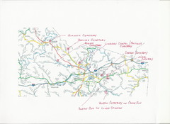
Carter County Cemetery Map
Cemeteries identified in Handwriting on map of Carter County with roads, cities and rivers.
6500 miles away
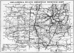
Oklahoma State Highway Map
Highway Map of Oklahoma State circa 1927. Includes all main roads and highways up to state...
6501 miles away
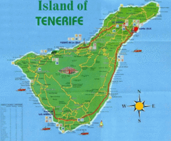
Tenerife Tourist Map
Tourist Map of Tenerife with cities, roads, lodgings and tourist sites marked.
6513 miles away
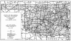
Oklahama Highway Map
Highway Map of Oklahoma State circa 1935. Includes all roads, towns, and detailed information on...
6514 miles away
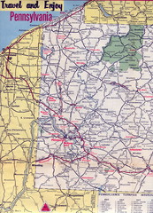
Western Pennsylvania Map
Western Pennsylvania, Northern West Virginia and Eastern Ohio roads
6643 miles away
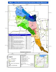
Ohio EPA Subwatersheds Boundaries in Darby...
Map shows watersheds by colors for West Central Ohio
6646 miles away
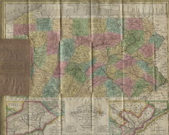
Pennsylvania Tourist Pocket Map
The map is dated 1820-31 by counties shown and comes from Anthony Finley's A New General Atlas...
6661 miles away
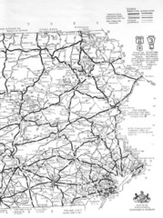
Eastern Pennsylvania Road Map
6661 miles away
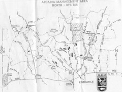
Arcadia Management Area State Map
Trail map for Arcadia Management Area in Rhode Island
6670 miles away


 Explore Maps
 Map Directory
