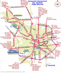
Cordoba City Map
Clear and descriptive city map.
0 miles away
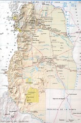
Mendoza Province Road Map
Road map of Mendoza Province in Agentina.
332 miles away
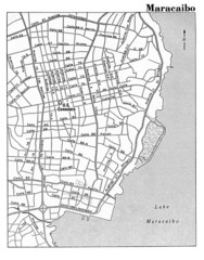
Maracaibo Street Map
2950 miles away
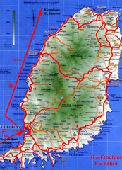
Grenada Island Road Map
3015 miles away
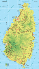
St. Lucia Island Map
High quality road and physical map of island of St. Lucia. Elevations are color-coded.
3142 miles away
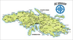
St. Thomas Island Map
Overview road map of island of St. Thomas in the U.S. Virgin Islands. Shows major roads, districts...
3442 miles away
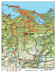
San Juan Road Map
Road map of San Juan, Puerto Rico area. Shows shaded elevation.
3450 miles away
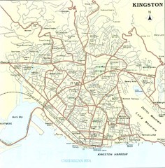
Kingston Street Map
Street map of city of Kingston, Jamaica.
3520 miles away
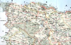
Dominican Republic North Region Road Map
Road map of the northwestern region of the Dominican Republic. Scanned.
3558 miles away
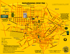
Quetzaltenango City Map
Large and detailed map.
3678 miles away
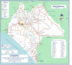
Chiapas Road Map
Road map of the Mexican state of Chiapas. Borders the Pacific Ocean and Guatemala. Shows roads and...
3821 miles away
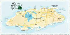
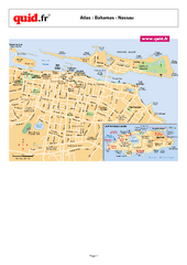
Nassau Island Map
4001 miles away
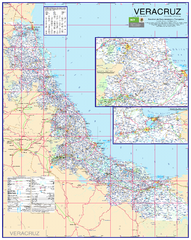
Veracruz Road Map
Detailed road map of the state of Veracruz. Inset of Veracruz city surroundings. In Spanish.
4082 miles away
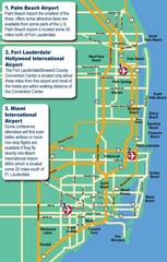
Fort Lauderdale Map
Fort Lauderdale and surrounding area map, including Airports and airport details.
4108 miles away
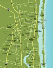
Port St. Lucie Map
Map of Port Saint Lucie.
4195 miles away
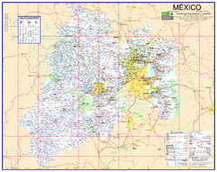
State of Mexico Road Map
Detailed road map of the Mexican state of Mexico. In Spanish.
4223 miles away
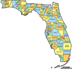
Florida Counties Map
4243 miles away
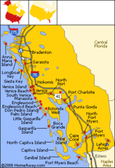
Bradenton Beach Map
Bradenton Beach and surrounding beach map.
4249 miles away
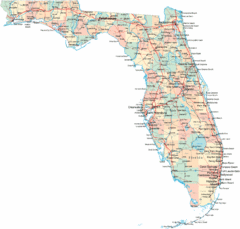
Florida Road Map
4316 miles away
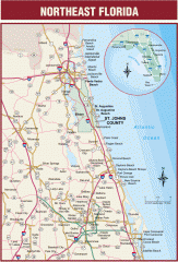
Northeast Florida Road map
A complete road map of the Northeast section of the state of Florida.
4348 miles away
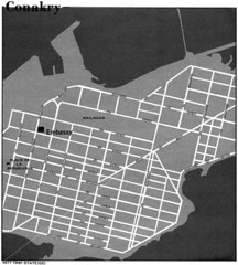
Conakry Road Map
Large and clear road map.
4380 miles away
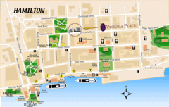
Hamilton City Map
Tourist map of central Hamilton, Bermuda. Shows major streets and parks.
4406 miles away
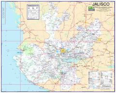
Jalisco Road Map
Detailed road map of the state of Jalisco. In Spanish.
4438 miles away
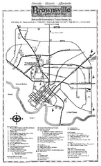
Brownsville Tourist Map
Tourist map of Brownsville with detail of local attractions
4534 miles away
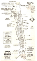
South Padre Island Map
Tourist map of South Padre Island
4536 miles away
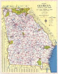
Georgia Road Map
Road map of state of Georgia, 1952
4603 miles away
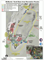
McMurdo and Scott Base Area Recreation Route Map
Shows roads around McMurdo Station (US) and Scott Base (New Zealand) Antarctic research stations on...
4615 miles away
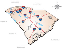
South Carolina Interstate Map
Shows Interstate highways in South Carolina
4629 miles away
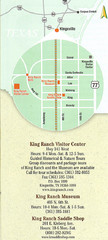
Kingsville Map
Map of Kingsville, with detail of main city-sites
4641 miles away
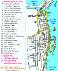
Downtown Corpus Christi Map
Tourist map of downtown Corpus Christi, with detail of local attractions
4644 miles away
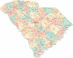
South Carolina Road Map
South Carolina state road map
4645 miles away
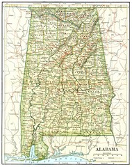
1891 Alabama Map
High quality 1891 Alabama map marking many cities and towns.
4652 miles away
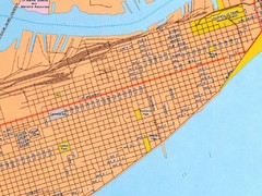
Galveston City Map
Street map of Galveston
4657 miles away
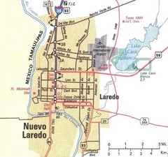
Downtown Laredo Map
Map of main roads in downtown Laredo
4695 miles away


 Explore Maps
 Map Directory
