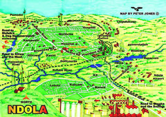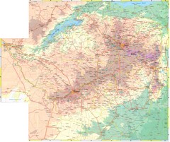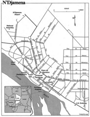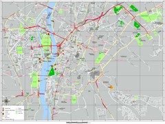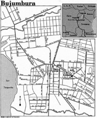
Burundi City Map
Simple city map labeling road systems.
669 miles away
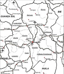
Huambo City Map
Simple road map marking streets and airports.
900 miles away
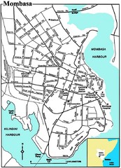
Mombasa City Map
Simple and clear map of this Kenyan city.
973 miles away
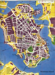
Mombasa City Map
City street map of Mombasa Island, Kenya
974 miles away
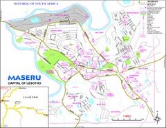
Maseru City Map
Map and legend of this Lesotho Capitol.
1133 miles away
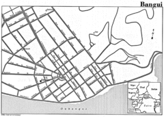
Bangui Road Map
Road map of Bangui city in the Central African Republic.
1384 miles away
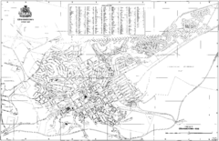
Grahamstown Street Map
Street map of Grahamstown, South Africa. Home of Rhodes University.
1413 miles away
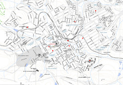
Grahamstown Map
Street map of Grahamstown
1414 miles away
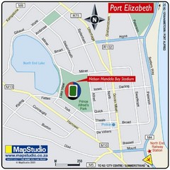
Nelson Mandela Bay Stadium, Port Elizabeth, South...
Location Map for Nelson Mandela Bay Stadium, Port Elizabeth, Eastern Cape, South Africa. 2010...
1462 miles away
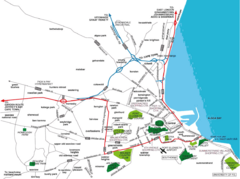
Port Elizabeth Street Map
Port Elizabeth, South Africa tourist map showing streets, shopping, parks and recreation.
1464 miles away
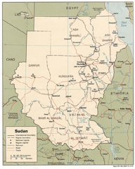
Sudan Map
Railroads, tracks, cities and borders are are marked on this clear map and legend.
1794 miles away
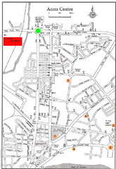
Accra Ghana Map
City center map of Accra, Ghana with tourist attractions identified on the map with street level...
2369 miles away
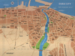
Dubai City Map
Street map of Dubai City, United Arab Emirates (UAE). Shows major streets and parks.
3198 miles away
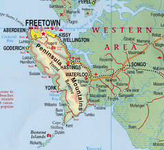
Freetown Map
Clear map of this amazing peninsula.
3236 miles away
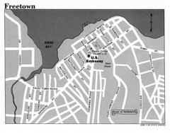
Freetown City Map
Road map of this Sierra Leone Capitol.
3237 miles away
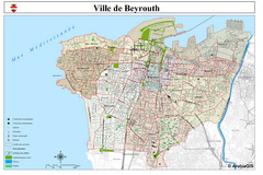
Beirut Map
Map of Beirut, Lebanon. In French.
3272 miles away
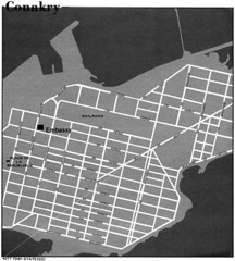
Conakry Road Map
Large and clear road map.
3297 miles away
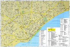
Limassol Tourist Map
Tourist map of Limassol, Cyprus. Shows hotels, consulates, and other points of interest.
3309 miles away
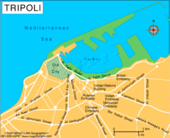
Tripoli City Map
Visit this city for its wonderful restaurants and beautiful views.
3330 miles away
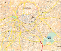
Nicosia Tourist Map
Tourist map of central Nicosia, Cyprus. Shows points of interest. Also shows line of Turkish...
3344 miles away
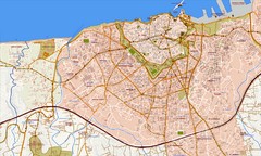
Heraklion Street Map
Street map of Heraklion (Iraklio), Greece on island of Crete. Shows all points of interest. In...
3348 miles away
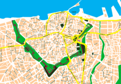
Irakleio Crete City Map
City map of Iraklio, Crete.
3349 miles away
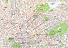
Athens Center Map
Map of central Athens, Greece.
3539 miles away
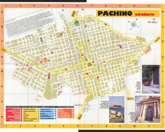
Pachino Street Map
Street map of town of Pachino, Sicily. Shows points of interest. In Italian. Scanned
3548 miles away
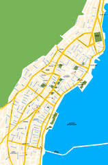
Argostoli City Map
Simple street map of island city of Argostoli, Kefalonia, Greece. Some points of interest shown.
3577 miles away
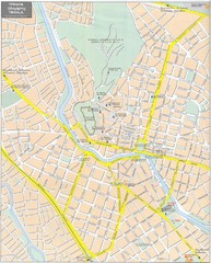
Trikala Street Map
Street map of central Trikala, Greece. In Greek and English. Scanned.
3660 miles away
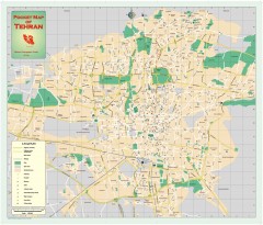
Tehran Street Map
Street map of Tehran, Iran. Shows highways, major streets, parks, and embassy locations
3682 miles away
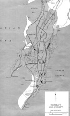
Bombay Street Map
Bombay (Mumbai), India street map.
3736 miles away
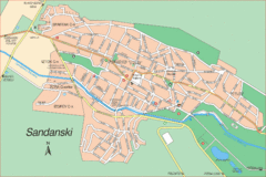
Sandanski Map
3787 miles away
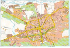
Tiranë Street Map
Street map of central Tirane (Tirana), Alabania. Scanned.
3798 miles away
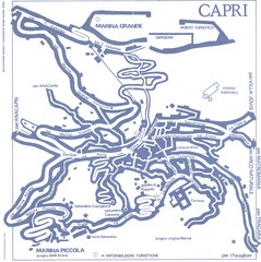
Capri Town Map
3815 miles away
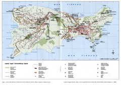
Capri Tourist Map
Tourist map of island of Capri, Italy. Shows roads, hotels, beaches, and other points of interest...
3815 miles away
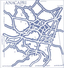
Anacapri Map
3816 miles away
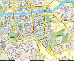
Plovdiv City map
3820 miles away
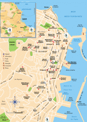
Algiers Street Map
Shows streets and major points of interest
3823 miles away
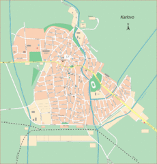
Karlova Street Map
Street map of Karlova, Bulgaria.
3854 miles away


 Explore Maps
 Map Directory
