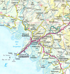
Conakry Map
Map marking airports, rivers, cities and geography of this Guinea city.
3298 miles away
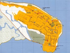
Banjul Street Map
Streets and points of interest are clearly marked on this map.
3597 miles away
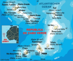
Cape Verde Map
Clear map of these small African islands.
4120 miles away
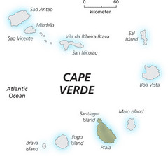
Cape Verde Island Map
This map clearly labels each island of Cape Verde.
4120 miles away
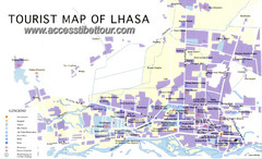
Lhasa City Map
Lhasa tourism map and legend.
5100 miles away
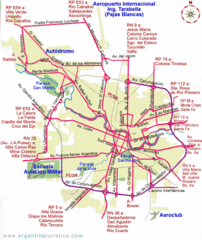
Cordoba City Map
Clear and descriptive city map.
5923 miles away
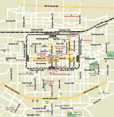
Xi'An City Map
Roads, parks, zoos and more are are clearly labeled on this large map.
6189 miles away
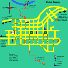
Banos Map
Simple map and legend of this small city.
7368 miles away
York River State Park Map
Fish and hike along this beautiful state park's river front.
7604 miles away
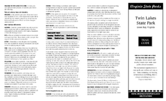
Twin Lakes State Park Map
Beautiful lakes and trails in the natural state park.
7691 miles away
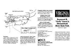
Shenandoah River State Park Map
Detailed map and legend of this beautiful state park.
7700 miles away
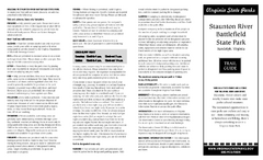
Staunton River Battlefield State Park Map
Clearly labeled state park map.
7713 miles away
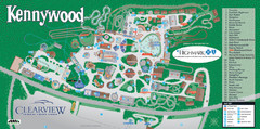
Kennywood Theme Park Map
"America's Finest Traditional Amusement Park" is the slogan for this fun, high rated...
7774 miles away
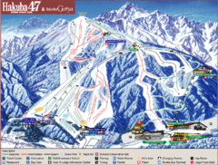
Hakuba Ski Trail Map
Easy to read map and key to this fun ski resort.
7818 miles away
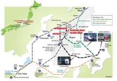
Hakuba Valley Map
The Hakuba Valley is located in the "heart" of Japan, a 3 hour scenic rail journey from...
7818 miles away
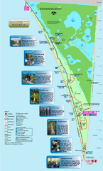
Point Pelee National Park Map
Large and clear national park map
7905 miles away
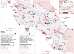
Costa Rica Nature map
Natural overview map of Costa Rica. Shows parks, beaches, adventure destinations, and bird...
7945 miles away
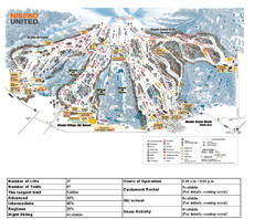
Niseko Ski Resort Map
Niseko's Mt. An'nupuri is home to three major ski resots: Niseko Grand Hirafu, Niseko...
7947 miles away
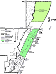
Kohler-Andrae State Park Map
trail, walk, water, nature, tourism, vacation, fun, adventure, journey,
8155 miles away
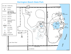
Harrington Beach State Park Map
Trails around Harington Beach State Park.
8161 miles away

Chippewa Morraine State Park Map
Walking trails.
8190 miles away
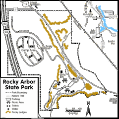
Rocky Arbor State Park Map
Detailed map of parking, water, ledges and boundaries for Rocky Arbor.
8258 miles away
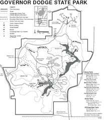
Governor Dodge State Park Map
Bike, Horse, trek, and recreational locations marked on this map.
8280 miles away
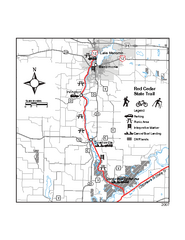
Red Cedar State Trail Map
Detailed trail map.
8343 miles away
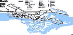
Merrick State Park Map
Beautiful hikes around the waterfront.
8346 miles away
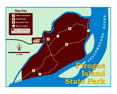
Pirogue Island State Park Map
Visitors find this isolated and undeveloped cottonwood-covered Yellowstone River island an...
8941 miles away
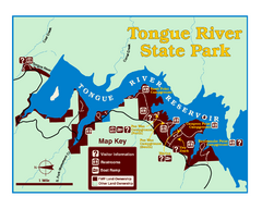
Tongue River Reservoir State Park Map
The 12-mile long reservoir is situated among scenic red shale, juniper canyons, and the open...
9024 miles away
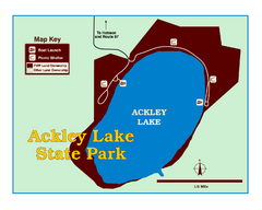
Ackley Lake State Park Map
Simple map of the State Park.
9096 miles away
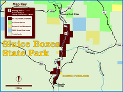
Sluice Boxes State Park Map
Remains of mines, a railroad, and historic cabins line Belt Creek as it winds through a beautiful...
9120 miles away
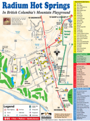
Radium Hot Springs Map
An easy to read map of this amazing hot springs area.
9178 miles away
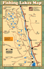
Radium Hot Springs Fishing Map
Beautiful map of the many fishing spots at this amazing site.
9178 miles away
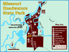
Missouri Headwaters State Park Map
This park encompasses the confluence of the Jefferson, Madison and Gallatin Rivers. The Lewis and...
9197 miles away
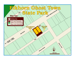
Elkhorn Ghost Town State Park Map
Clearly marked map of old 1880's ghost town with impressive structures.
9205 miles away
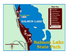
Salmon Lake State Park Map
Immediately adjacent to Montana 83, this park is an access point to one of the beautiful lakes in...
9229 miles away
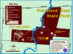
Travelers' Rest State Park Map
The Lewis and Clark expedition camped here twice during their historic journey to locate the...
9250 miles away
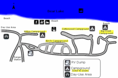
Rendezvous Beach Map
Bear Lake State Park is nestled high in the Rocky Mountains on the Utah-Idaho border. The cool...
9330 miles away
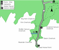
Dead Horse Point State Park Map
Stroll along the Rim Walk, towering 2,000 feet directly above the Colorado River. The mesa that is...
9353 miles away


 Explore Maps
 Map Directory
