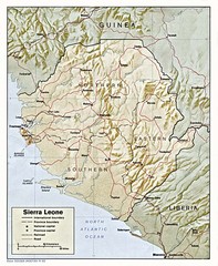
Sierra Leone Map
Guide to the African country of Sierra Leona
1622 miles away
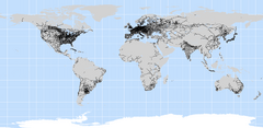
World Railways Map
Railways and transportation around the world
2018 miles away
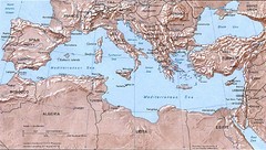
Mediterranean Map
Relief Map with countries and main cities surrounding the Mediterranean Sea.
2093 miles away
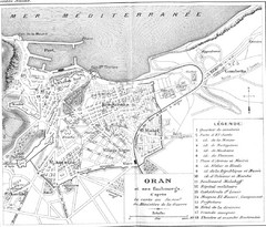
Old Oran City Map
Cool old map of Oran, Algeria.
2125 miles away
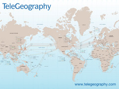
Submarine Cable Map
Shows over 120 submarine cable systems, including major systems that are in service as well as...
2129 miles away
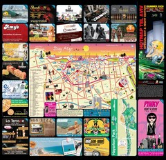
Tel Aviv day map summer 2009
this is a great day map that show the real life in tel aviv , also theres a small map of "park...
2237 miles away
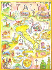
Italy Map
Work of art from my travel sketch books. Watercolor and ink original. Archival quality poster (13...
2277 miles away
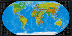
Worldwide Telephone Prefix Numbers Map
Telephone dialing prefixes on a world map
2288 miles away
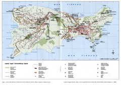
Capri Tourist Map
Tourist map of island of Capri, Italy. Shows roads, hotels, beaches, and other points of interest...
2298 miles away
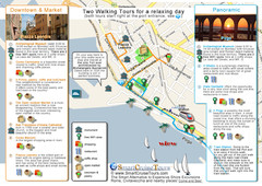
Port of Rome (Civitavecchia) map
Map of Civitavecchia, the port of Rome, with 2 walking itineraries
2402 miles away
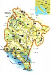
Montenegro tourist map
Illustrated tourist map of Montenegro.
2489 miles away
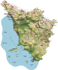
Tuscany Physical Map
Physical map of Tuscany, Italy.
2490 miles away
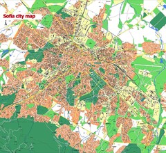
Sofia City street map
Map of Sofia city, Bulgaria. Bulgaria is country in Europe, member of the EU since 2007.
2533 miles away
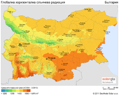
Solar Radiation Map of Bulgaria
Solar Radiation Map Based on high resolution Solar Radiation Database: SolarGIS. On the Solar Map...
2574 miles away
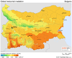
Solar Radiation Map of Bulgaria
Solar Radiation Map Based on high resolution Solar Radiation Database: SolarGIS. On the Solar Map...
2574 miles away
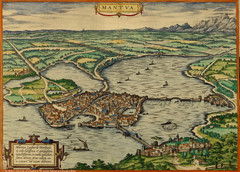
Mantua City Map 1575
Panoramic view of Mantua (Mantova), Italy from Braun and Hogenberg Civitates Orbis Terrarum Volume...
2616 miles away
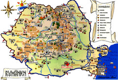
Romania Tourist Map
Tourist map of Romania showing tourist attractions, roads, and airports. Note the map is in...
2772 miles away
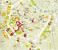
Vienna centre Map
2835 miles away
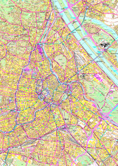
Vienna Street Map
Street map of Vienna, Austria
2835 miles away
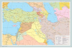
Map of Near East And South Caucasus
Map of Near East and South-Caucassian countries
2963 miles away
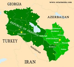
Nagorny Karabakh & Armenia Map
Map of the Nagorno-Karabakh Republic (Artsakh) and the Republic of Armenia
3017 miles away
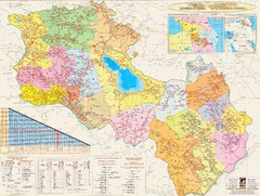
Armenia & Karabakh Road Map
Road-Map of the Republic of Armenia and the Nagorno-Karabakh Republic (Artsakh) in English and...
3017 miles away
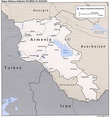
Armenia Defense Facilities Map
Map of major defense industry facilities in Armenia
3032 miles away
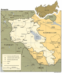
Armenia Map
Map of Armenia showing cities, roads and railways as well as international boundaries.
3032 miles away
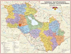
Administrative Map of Armenia & Nagorny...
Administrative Map of the Republic of Armenia and the Nagorno-Karabakh Republic
3032 miles away
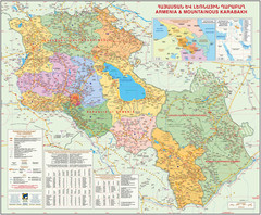
Map of the Republic of Armenia and the Nagorno...
Map of modern Armenian states - the Republic of Armenia and the Nagorno-Karabakh Republic (Artsakh)
3032 miles away
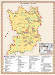
Karabakh Map
Cultural Centers of the Nagorno-Karabakh Republic (Artsakh)
3032 miles away


 Explore Maps
 Map Directory
