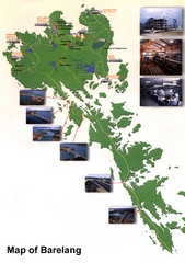
Barelang Bridge Map
Shows ferry terminals, airport, and chain of 6 bridges (with photos) known as the Barelang Bridge...
0 miles away
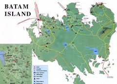
Batam Tourist Map
Tourist map of Batam island, Indonesia. Shows all ferry terminals, airport, and other useful info...
18 miles away
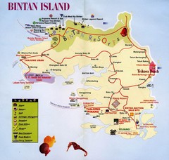
Bintan Island, Indonesia Beach Tourist Map
25 miles away
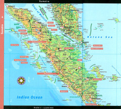
Sumatra Overview Map
Detailed map of island of Sumatra, Indonesia. Scanned.
255 miles away
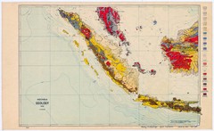
Indonesia Geology Map
Geologic map of Indonesia, 1932
303 miles away
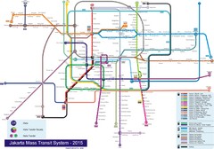
Jakarta Bus System Map
523 miles away
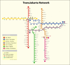
Jakarta Bus System Map
523 miles away
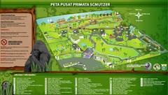
The Schmutzer Primate Center Map
Pusat Primata Schmutzer (Established 2002). Mission: To promote conservation of Indonesian primates...
529 miles away
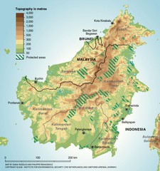
Borneo Protected Areas Map
Physical map of island of Borneo, Indonesia showing protected areas. Shows topography in meters.
676 miles away
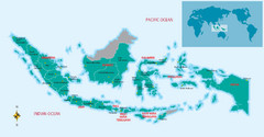
Indonesia Overview map
Shows regions of Indonesia and inset map shows Indonesia in context of rest of world.
683 miles away
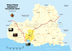
Pacitan Tourist Map
Tourist map of Pacitan, Indonesia
783 miles away
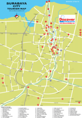
Surabaya Tourist Map
Tourist map of Surabaya, Indonesia
816 miles away
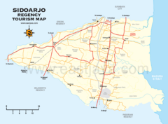
Sidoarjo Tourist Map
Tourist/road map of Sidoarjo Regency in Indonesia
822 miles away
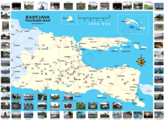
East Java Tourism Map
Tourist map of East Java, Indonesia. Shows photos of points of interest.
842 miles away
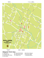
Malang City Tourism Map
Tourist map of Malang City, Indonesia. Shows points of interest.
845 miles away
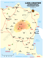
Ijen Crater Tourist Map
Tourist map of Ijen Crater and surrounding area on East Java, Indonesia
924 miles away
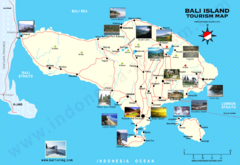
Bali Tourist Map
Tourist map of island of Bali, Indonesia. Shows photos of points of interest.
990 miles away
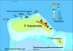
Kapoposang Map
Kapoposang National Marine Park may not be as well-known as other celebrated diving resorts, like...
1091 miles away
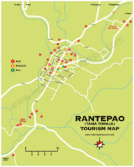
Rantepao Tourism Map
Tourist map of Rantepao, Indonesia. Shows hotels, restaurants, and banks.
1119 miles away
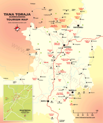
Tana Toraja Tourist Map
Tana Toraja tourist map with inset of Rantepao, Indonesia
1119 miles away
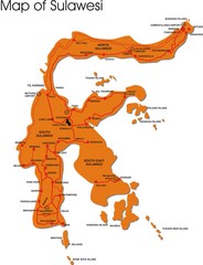
Sulawesi Overview Map
Overview map of island of Sulawesi, Indonesia. Shows major towns and airports.
1248 miles away
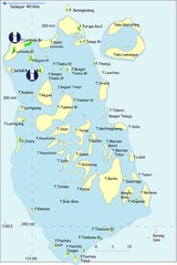
Taka Bonerate Map
The Bonerate National Park is home to the third biggest atoll in the world after Kwajifein in the...
1257 miles away
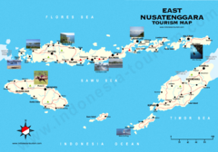
East Nusatenggara Tourist Map
Tourist map of East Nusatenggara, Indonesia. Shows some photos.
1422 miles away
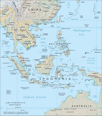
Southeast Asia Map
1592 miles away
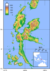
Halmahera Topography Map
Shows color coded shaded relief of island of Halmahera, Indonesia.
1638 miles away
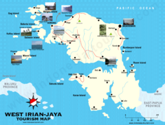
West Irian Jaya Tourist Map
Tourist map of West Irian-Jaya, Indonesia. Shows photos of interesting points.
2013 miles away
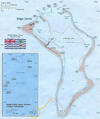
British Indian Ocean Territory Map
Guide to the atolls that comprise the British Indian Ocean Territory or the Chagos Islands
2261 miles away
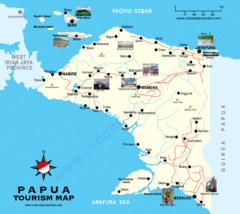
Papua Tourist Map
Tourist map of Papua, Indonesia. Shows photos of some locations.
2320 miles away
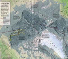
Arctic Ocean floor Map
6288 miles away
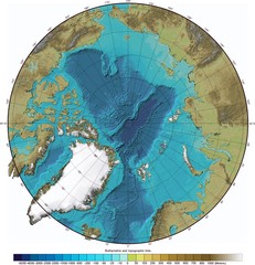
Arctic Ocean Bathymetry Map
6393 miles away


 Explore Maps
 Map Directory
