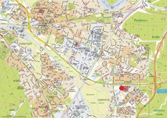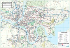
Kaunas City Map
0 miles away
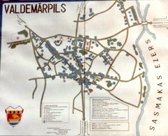
Valdemarpils Tourist Map
Tourist map of town of Valdemarpils, Latvia. From photo taken in town square, 1989
178 miles away
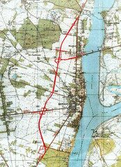
Serock Map
Town map of Serock, Poland. Not very much detail.
201 miles away
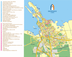
Haapsalu Tourist Map
Tourist street map of Haapsalu
280 miles away

North-Eastern Estonia Tourist Map
Tourist Map of the North-Eastern Coast of Estonia
330 miles away
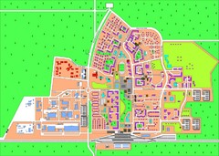
Slavutich Town Map
Town map of Slavutich, Ukraine. "The town of Slavutich is the youngest town in former Soviet...
367 miles away
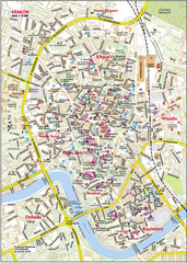
Krakow City Center Map
374 miles away
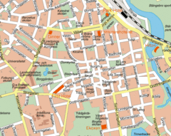
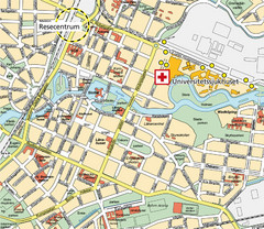
Linkoping City Center Map
Map of city center
397 miles away
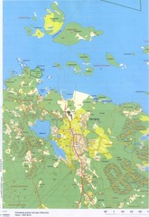
Herräng area map
Shows Herräng, Sweden and surrounding area
411 miles away
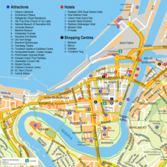
Jonkoping Tourist Map
Tourist map of city center
422 miles away
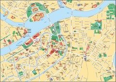
St. Petersburg Map
Street map of city center
423 miles away
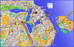
Stralsund Tourist Map
Tourist map of Stralsund
434 miles away
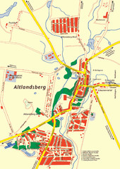
Altlandsberg Map
Map of town of Altlandsberg
446 miles away
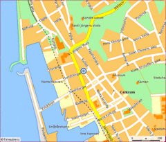
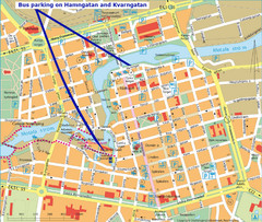
Helsingborg City Map
Map of city center with detail of main roads
446 miles away
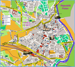
Goerlitz Tourist Map
Tourist street map of Goerlitz
452 miles away
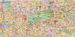
Berlin Center Map
459 miles away
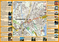
Oranienburg Tourist Map
Tourist street map of Oranienburg
459 miles away
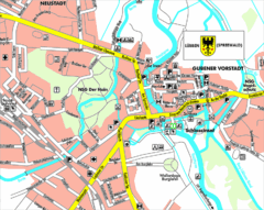
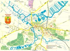
Lübben (Spreewald) Map
Street map of Lübben (Spreewald)
459 miles away
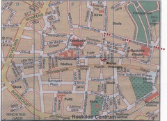
Roskilde Town Map
468 miles away
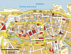
Rostock Center Map
Street map of town center
475 miles away
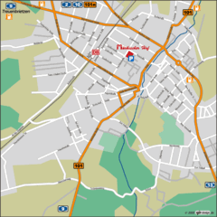
Luckenwalde Map
Street map of Luckenwalde
481 miles away
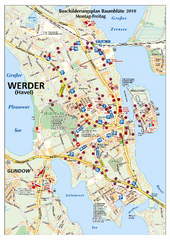
Werder (Havel) Tourist Map
Tourist map of Werder (Havel)
482 miles away
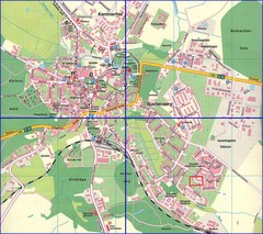
Doberan Map
Street map of city of Doberan
484 miles away
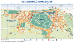
Kühlungsborn Map
Map of Kühlungsborn
490 miles away
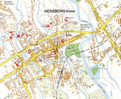
Herzberg (Elster) Map
Street map of Herzberg
493 miles away
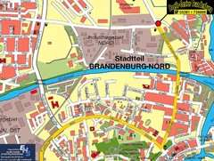
Brandenburg an der Havel Map
Street map of Brandenburg an der Havel center
495 miles away
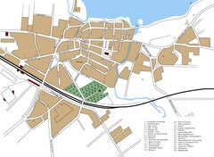
Woldenberg Map
Street map of city of Woldenberg
495 miles away
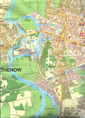
Rathenow Map
Street map of town of Rathenow
498 miles away


 Explore Maps
 Map Directory
