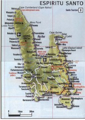
Espiritu Santo Island Map
Map of island
0 miles away
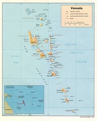
Vanuatu Islands Map
Map of Vanuatu region of islands
100 miles away
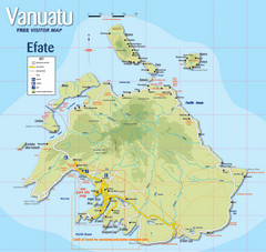
Vanuatu Tourist Map
Tourist guide to the island of Efate in Vanuatu
190 miles away
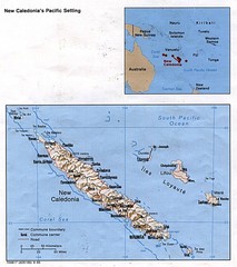
New Caledonia Islands Tourist Map
391 miles away
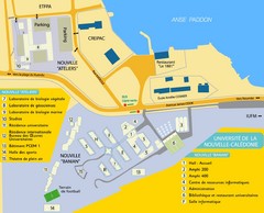
University of New Caledonia Map
Campus map of University of New Caledonia in Nouville, New Caledonia. 2800 students, 82 teachers...
487 miles away
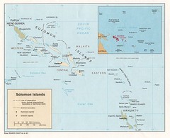
Solomon Islands Map
660 miles away
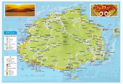
Viti Levu Fiji Tourist Map
752 miles away
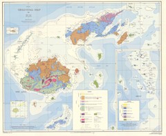
Fiji Geological Map
Geological map of Fiji islands. First edition.
796 miles away
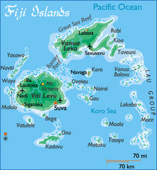
Fiji Islands Map
808 miles away
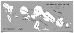
New Georgia Islands Map
815 miles away
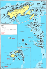
Fiji Islands Map
824 miles away
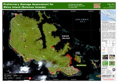
Ghizo Island Damage Map
Solomon Islands: Preliminary Damage Assessment for Ghizo Island (as of 8 Apr 2007)
851 miles away
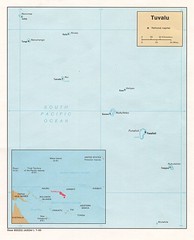
Tuvalu Political Map
Guide to the island nation of Tuvalu
925 miles away
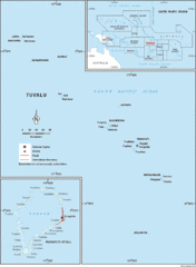
Tuvalu Map
Guide to Tuvalu, previously known as Ellice Islands, a Polynesian island nation
943 miles away
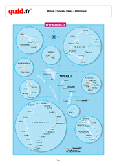
Tuvalu Regional Map
Map of collection of islands with detail of various regions
945 miles away
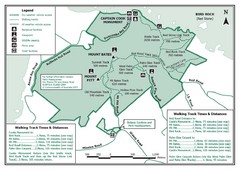
Norfolk Island National Park Trail Map
956 miles away
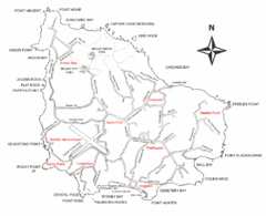
Norfolk Island Map
This map shows the entire Island including the various beaches and the town centre.
956 miles away
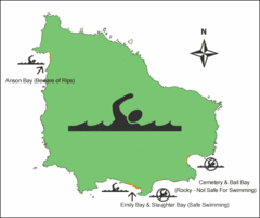
Norfolk Island Swim Zone Map
This helpful map shows safe and not safe swim areas on this amazing island.
956 miles away
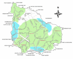
Norfolk Island Map
Guide to Norfolk Island, a territory of Australia
958 miles away
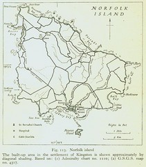
Historic Norfolk Island Map
Historic guide to Norfolk Island
958 miles away
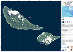
Futuna and Alofi Satellite Map
997 miles away
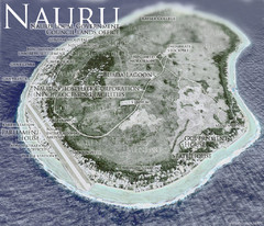
Nauru Tourist Map
Tourist map of island nation of Nauru, the smallest island nation in the world and the 3rd smallest...
1018 miles away
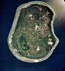
Nauru Satellite Map
Satellite photo map of island of Nauru
1018 miles away
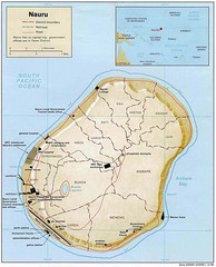
Nauru Island Tourist Map
1018 miles away
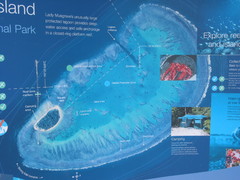
Lady Musgrave Island Map
Photo of map showing isliand and Lady Musgrave Reef
1123 miles away
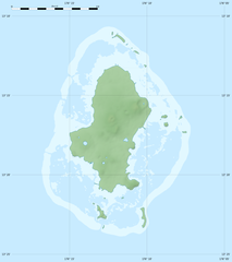
Physical Map of Wallis Island
1133 miles away
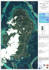
Wallis Cyclone Map
Shows zones of Wallis Island affected by cyclone Tomas in March 2010
1133 miles away
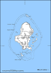
Wallis Topo Map
1133 miles away
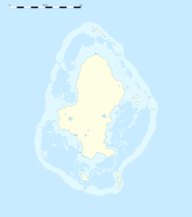
Wallis Location Map
shared under http://creativecommons.org/licenses/by-sa/3.0/deed.en
1133 miles away
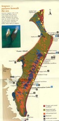
Fraser Island Map
Shows vegetation on Fraser Island, Australia the largest sand island in the world.
1133 miles away
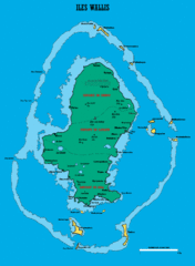
Wallis Island Map
1134 miles away
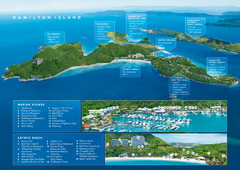
Hamilton Island, Australia Map
1239 miles away
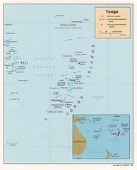
Tonga Islands Map
1246 miles away
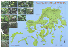
Vava'u Island Map
Shows roads and common plants
1279 miles away
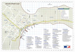
Neiafu Street Map
Neiafu Street and visitor Map. Shows locations of most accommodations, businesses and marine...
1279 miles away
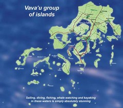
Vava'u Island group Map
1281 miles away
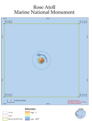
Rose Atoll National Marine Monument Tourist Map
1291 miles away
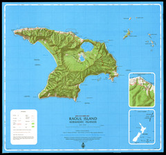
Raoul Island Map
Topographical map of Raoul Island in the Kermadec Islands, New Zealand
1366 miles away
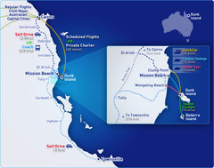
Dunk Island Resort - Great Barrier Reef...
Map of Dunk Island. Dunk Island resort is located in Queensland on the Great Barrier Reef.
1394 miles away
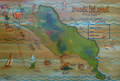
Dunk Island Tourist Map
Tourist map of Dunk Island and Family Islands National Park. Shows trails, reefs, and other islands...
1394 miles away


 Explore Maps
 Map Directory
