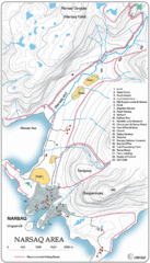
Narssaq City Map
Clearly marked city map and legend.
0 miles away
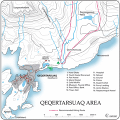
Qeqertarsuaq City Map
Clearly marked city map and detailed legend.
594 miles away
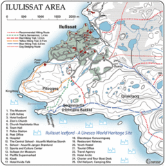
Ilulissat City Map
Detailed map and legend of this amazing city.
656 miles away
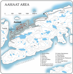
Aasiaat City Map
Clear map and legend of this beautiful city.
672 miles away
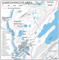
Qasigiannguit City Map
Clear and descriptive map marking facilities, roads, hotels and more.
680 miles away
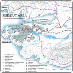
Sisimuit City Map
Clearly labeled city map and legend.
780 miles away
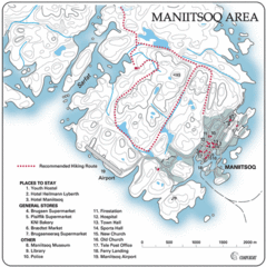
Maniitsoq City Map
Map and legend clearly marking facilities and roads.
887 miles away
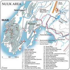
Nuuk Map
Clearly marked map with detailed legend marking facilities and resources.
979 miles away
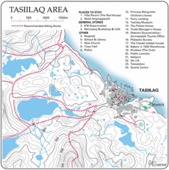
Tasiilaq City Map
Clear map marking facilities and roads.
1034 miles away
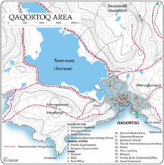
Qaqortoq City Map
Clear map and legend marking facilities, hotels, roads and more in this beautiful city.
1260 miles away
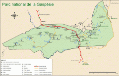
Gaspesie National Park Map - Summer
Official SEPAQ map of Gaspesie National Park in the Gaspe Peninsula, Quebec. Show trails, huts...
1962 miles away
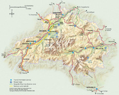
Cairngorms National Park Map
This map shows the boundaries of the Cairngorms National Park, which stretch from Grantown on Spey...
2049 miles away
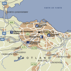
Edinburgh City Map
Simple city map marking parks, airports, streets and more.
2129 miles away
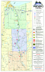
Wild Rivers Trail Map
A multitude of trails and rivers are clear to read on this map.
2207 miles away
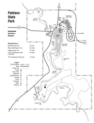
Pattison State Park Map
Great trails for a wonderfully relaxing summer vacation.
2221 miles away
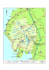
Lake District National Park Map
Detailed map marking the roads and boundaries of on of Britain's National Parks.
2223 miles away
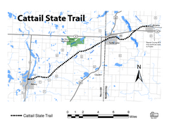
Cat Tail State Trail Map
Map marking trails, bike routes, shelter, toilets and more.
2242 miles away
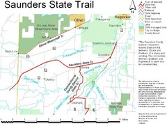
Saunders State Trail Map
Points of interest, lakes, roads, forests and more are marked on this map's key.
2249 miles away
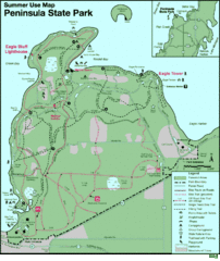
Peninsula State Park Map
Beautiful trails.
2283 miles away
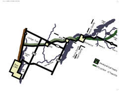
Tuscobia Map
Lakes and trails are easy to follow on this map.
2285 miles away
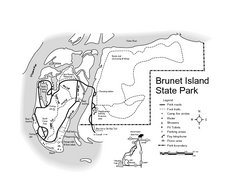
Brunet Island State Park Map
Easy to read legend.
2307 miles away
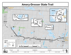
Ammery Dresser Trail Map
Easy to follow trail map.
2325 miles away
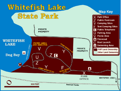
Whitefish Lake State Park Map
Although it’s right on the outskirts of Whitefish, this small park provides a mature forest...
2330 miles away
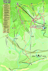
Killington Hiking Trail Map
Hiking trail map of Killington Ski Area summer trails. Shows life zones and geologic features.
2332 miles away
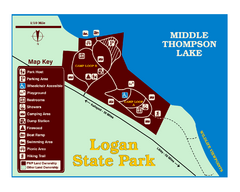
Logan State Park Map
With frontage on the north shore of Middle Thompson Lake, Logan is heavily forested with western...
2364 miles away
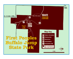
First People's Buffalo Jump State Park Map
A visitor center and interpretive trails tell the story of this prehistoric bison kill site, one of...
2364 miles away
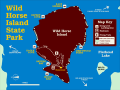
Wild Horse Island State Park Map
Boat access to this day-use-only, primitive park is regulated to protect the 2,000-acre island. The...
2367 miles away
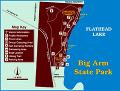
Big Arm State Park Map
Clear map and map key of Park camping grounds.
2371 miles away
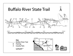
Buffalo River State Trail Map
Detailed map of excited hike through nature's finest.
2375 miles away
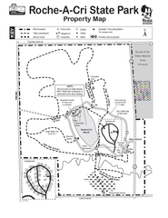
Roche A Cri State Park Map
Marked hiking trails for this State Park easily read on this map.
2378 miles away
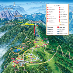
Grouse Mountain Summer Trail Map
Summer trail map of Grouse Mountain Resort near Vancouver, BC.
2386 miles away
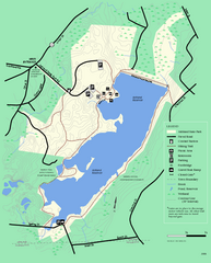
Ashland State Park Map
Clear map and legend marking trails, parking, facilities and more.
2426 miles away
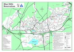
Blue Hills State Park Map
Clearly marked state park map of this beautiful state park.
2427 miles away
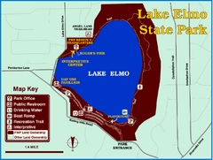
Lake Elmo State Park Map
This urban day-use park attracts visitors to swim, sailboard, and fish. A display in the Fish...
2430 miles away
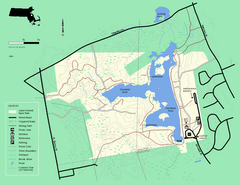
Ames Nowell State Park Map
Simple map of this beautiful state park. Visit and hike, bike, and shop!
2434 miles away
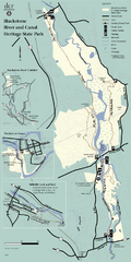
Heritage State Park Map
Clear state park map marking trails and facilities.
2435 miles away
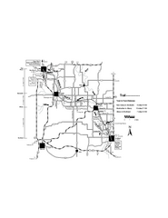
Sugar River Map
Towns, roads and rivers are all clearly marked on this map.
2450 miles away
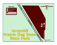
Greycliff Prairie Dog Town State Park Map
Grab your camera and hop off Interstate 90 at Greycliff to delight in the playful, curious black...
2452 miles away


 Explore Maps
 Map Directory
