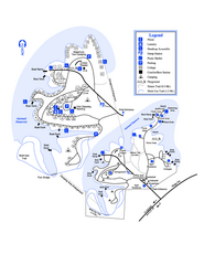
Hart State Park Map
Map of park with detail of trails and recreation zones
0 miles away
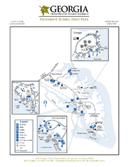
Richard B. Russell State Park Map
Map of park with detail of trails and recreation zones
17 miles away
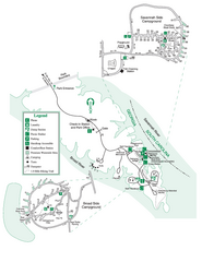
Bobby Brown State Park Map
Map of park with detail of trails and recreation zones
33 miles away
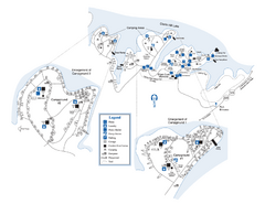
Elijah Clark State Park Map
Map of park with detail of trails and recreation zones
46 miles away
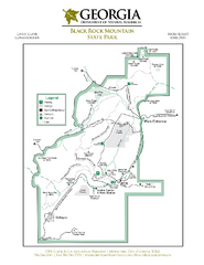
Black Rock Mountain State Park Map
Map of park with detail of trails and recreation zones
47 miles away
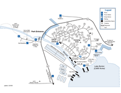
Moccasin Creek State Park Map
Map of park with detail of trails and recreation zones
50 miles away
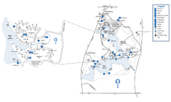
Fort Yargo State Park Map
Map of park with detail of trails and recreation zones
55 miles away
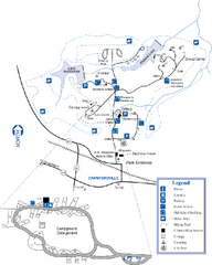
A. H. Stephens Historic Park Map
Map of park with detail of trails and recreation zones
56 miles away
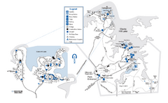
Mistletoe State Park Map
Map of park with detail of trails and recreation zones
59 miles away
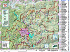
DuPont State Forest Trail map
Trail map of DuPont State Forest. Shows all trails with mileages. From dupontforest.com: "...
62 miles away
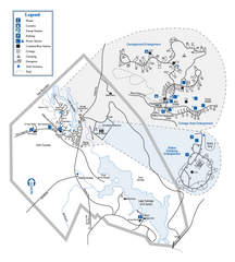
Hard Labor Creek State Park Map
Map of park with detail of trails and recreation zones
64 miles away
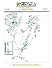
Amicalola Falls State Park Map
Map of park with detail of trails and recreation zones
77 miles away
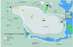
Stone Mountain Park Trail map
Trail map of Stone Mountain Park near Atlanta, GA
81 miles away
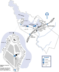
Hamburg State Park Map
Map of park with detail of trails and recreation zones
81 miles away

Panola Mountain State Park Map
Map of park with detail of trails and recreation zones
89 miles away
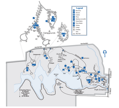
Indian Springs State Park Map
Map of park with detail of trails and recreation zones
98 miles away
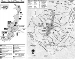
Mount Mitchell State Park map
Official map of Mt. Mitchell State Park in North Carolina. Park contains the 6,684 ft summit of...
102 miles away
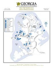
Red Top Mountain State Park Map
Map of park with detail of trails and recreation zones
104 miles away
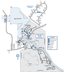
High Falls State Park Map
Map of park with detail of trails and recreation zones
104 miles away
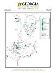
Fort Mountain State Park Map
Map of park with detail of trails and recreation zones
105 miles away
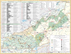
Pisgah National Forest and Nantahala National...
Pisgah National Forest and Nantahala National Forest recreation map. Contains list of all...
117 miles away
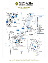
Magnolia Springs State Park Map
Map of park with detail of trails and recreation zones
117 miles away
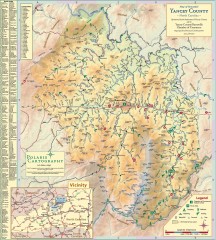
Yancey County Chamber of Commerce Map
Map of Yancey County, North Carolina. Shows all public roads, communities, hiking trails and picnic...
119 miles away
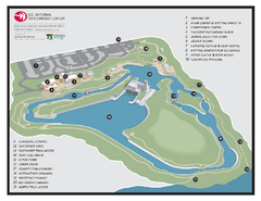
US National Whitewater Center Map
Facility map of the US National Whitewater Center in Charlotte, North Carolina
125 miles away
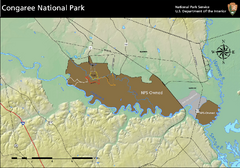
Congaree National Park Official Park Map
Official NPS map of Congaree National Park. Map shows all areas. Congaree National Park is open...
129 miles away
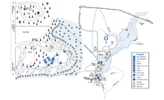
George L. Smith State Park Map
Map of park with detail of trails and recreation zones
134 miles away
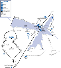
James H. Floyd State Park Map
Map of park with detail of trails and recreation zones
139 miles away
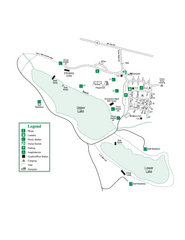
John Tanner State Park Map
Map of park with detail of trails and recreation zones
140 miles away
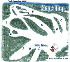
Hawksnest Golf & Ski Resort Ski Trail Map
Trail map from Hawksnest Golf & Ski Resort.
143 miles away
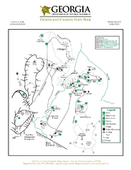
Cloudland Canyon State Park Map
Map of park with detail of trails and recreation zones
150 miles away
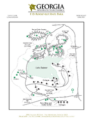
F.D. Roosevelt State Park Map
Map of park with detail of trails and recreation zones
150 miles away
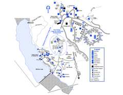
Little Ocmulgee State Park Map
Map of park with detail of trails and recreation zones
158 miles away
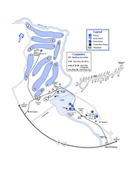
Gordonia-Alatamaha State Park Map
Map of park with detail of trails and recreation zones
165 miles away
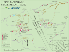
Pine Mountain State Resort Park Map
Map of trails and facilities in Pine Mountain State Resort Park .
169 miles away
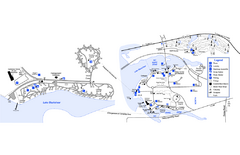
Georgia Veterans State Park Map
Map of park with detail of trails and recreation zones
177 miles away
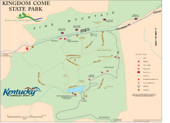
Kingdom Come State Park Map
Trail map for Kingdom Come State Park.
181 miles away
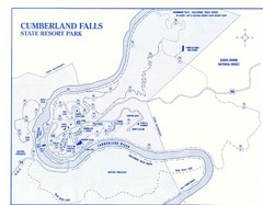
Cumberland Falls State Resort Park Map
Cumberland Falls Park Area Map
189 miles away
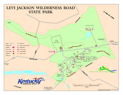
Levi Jackson Wilderness Road State Park Map
Map of trails and facilities of Levi Jackson Wilderness Road State Park.
198 miles away
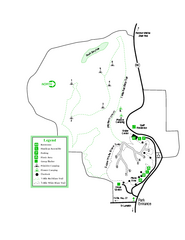
Providence Canyon State Park Map
Map of park with detail of trails and recreation zones
198 miles away
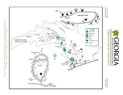
General Coffee State Park Map
Map of park with detail of trails and recreation zones
198 miles away


 Explore Maps
 Map Directory
