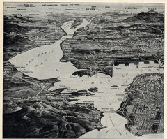
1936 San Francisco Bay Area Map Part 1
Guide to the San Francisco Bay Area in 1936, hand drawing over photograph
0 miles away
Near San Francisco Bay Area, CA, US
1218 × 1012•562 KB•JPG
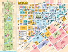
Union Square Tourist Map
Tourist map of Union Square district in San Francisco, California. Shows all venues and points of...
19 miles away
Near Union Square, San Francisco
489 KB•PDF
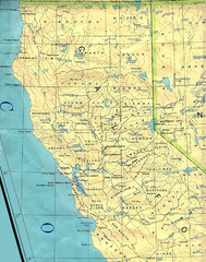
Northern California Map
Map of Northern California including cities, counties, and rivers
151 miles away
Near California
1274 × 1620•579 KB•JPG
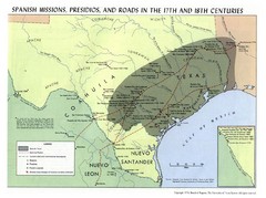
Spanish Missions, Presidios, and Roads in the...
1331 miles away
Near Texas
1282 × 954•199 KB•JPG
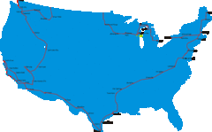
United States Select Cities Map
Approximately twenty cities in the United States.
1445 miles away
Near Untied States
2479 × 1538•60 KB•GIF
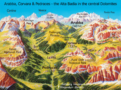
Arabba Corvara Pedraces Summer Map
Summer map of Alta Badia region in Italian Dolomites
5950 miles away
Near Corvara, Italy
1082 × 810•468 KB•JPG
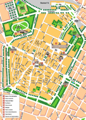
Modena Tourist Map
Tourist map of center of Modena, Italy. Shows points of interest.
6031 miles away
Near Modena, Italy
810 × 1127•155 KB•GIF
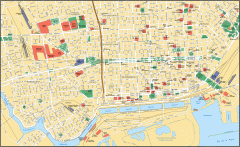
Buenos Aires Street Map
Street map of Buenos Aires, Argentina. Shows major buildings and parks.
6469 miles away
Near Buenos Aires, Argentina
2369 × 1452•824 KB•GIF
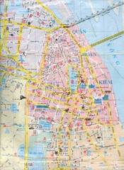
Vietnam Tourist Map
Landmarks, roads and areas in Vietnam
7593 miles away
Near Vietnam
1276 × 1752•222 KB•JPG
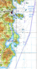
Cam Ranh Bay Topo Map
Topo map of Cam Ranh Bay, Vietnam on the South China Sea
7660 miles away
Near Cam Ranh Bay, Vietnam
946 × 1753•970 KB•JPG
page 1 of 1


 Explore Maps
 Map Directory
