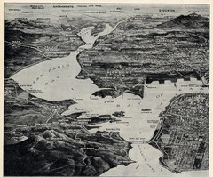
1936 San Francisco Bay Area Map Part 1
Guide to the San Francisco Bay Area in 1936, hand drawing over photograph
0 miles away
Near San Francisco Bay Area, CA, US
1218 × 1012•562 KB•JPG

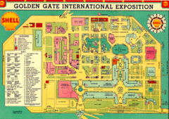
Golden Gate International Expo 1939 Map
Map of the 1939 Golden Gate International Expo.
16 miles away
Near Treasure Island, San Francisco
1200 × 847•711 KB•GIF

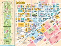
Union Square Tourist Map
Tourist map of Union Square district in San Francisco, California. Shows all venues and points of...
19 miles away
Near Union Square, San Francisco
489 KB•PDF

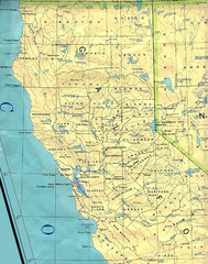
Northern California Map
Map of Northern California including cities, counties, and rivers
151 miles away
Near California
1274 × 1620•579 KB•JPG
page 1 of 1


 Explore Maps
 Map Directory
