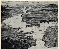
1936 San Francisco Bay Area Map Part 1
Guide to the San Francisco Bay Area in 1936, hand drawing over photograph
0 miles away
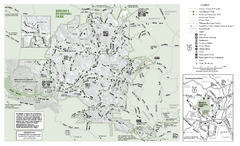
Briones Regional Park Trail Map
Trail map of Briones Regional Park in East Bay.
1 mile away
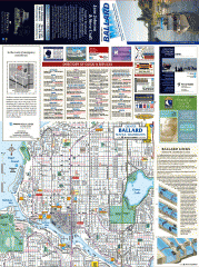
Ballard tourist map
Tourist map of Ballard, Washington and Green Lake Park. Shows all businesses.
675 miles away
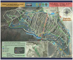
Pajarito Mountain Summer Bike Hike Trail Map
Pajarito Ski Area offers summer bike and hike lift service weekends. When lifts are not running...
880 miles away
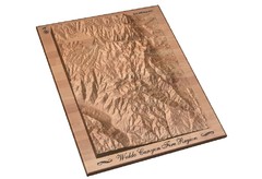
Waldo Canyon Fire Area Map
932 miles away
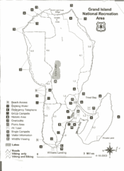
Grand Island National Recreation Area Map
1892 miles away
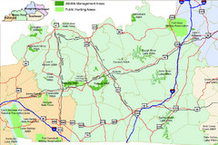
Green River Area Hunting Map
Map marking highways, forests, parks and hunting zones in Kentucky's beautiful Green River...
1896 miles away
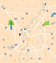
Indianapolis Map
Map of Indianapolis are
1928 miles away
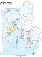
Mobile County Map
Clear map marking Mobile County and local area.
1998 miles away
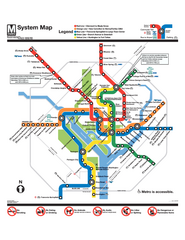
Official Washington DC Metro map
Official color PDF map from the Washington Metropolitan Area Transit Authority. The WMATA operates...
2419 miles away
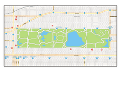
Central Park, New York Map
Central Park, New York map. A very detailed map with all roads, metro station and importand...
2550 miles away
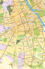
Warsaw University Map
Map of Warsaw University and surrounding area.
5831 miles away
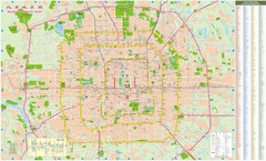
Beijing Street Map
Street map of central Beijing, China, home of the 2008 Summer Olympics. Shows subway lines and...
5915 miles away

Sulden Ski Trail Map
Ski trail map of Sulden (Solda), Italy in the Ortler Alps. Shows trails and lifts.
5916 miles away
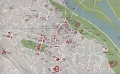
Kyiv City Map
City map of central Kyiv, Ukraine. Shows major streets and buildings.
6115 miles away
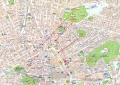
Athens Center Map
Map of central Athens, Greece.
6766 miles away
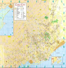
Cebu City Map
City map of Cebu City, Philippines area. Blurry but readable.
7045 miles away
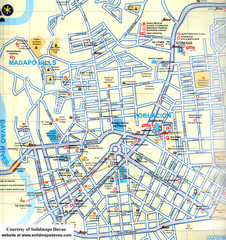
Davao City Map
Tourist street map of Davao City
7109 miles away
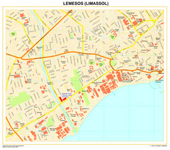
Limassol Town Map
7181 miles away
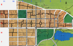
Islamabad City Map
City map of Islamabad, Pakistan
7401 miles away

Mount Hotham Ski Trail Map
Mount Hotham Alpine Resort ski trail map
7761 miles away


 Explore Maps
 Map Directory
