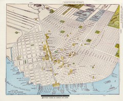
1896 San Francisco Perspective Map
Guide to historic San Francisco, in hand drawn perspective
0 miles away
Near San Francisco, CA, US
2536 × 2085•1.4 MB•JPG
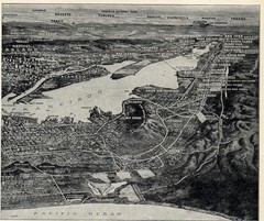
1936 San Francisco Bay Area Map Part 2
Guide to the San Francisco Bay Area, hand drawn over photograph
17 miles away
Near San Francisco Bay Area, CA, US
1208 × 1012•578 KB•JPG
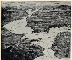
1936 San Francisco Bay Area Map Part 1
Guide to the San Francisco Bay Area in 1936, hand drawing over photograph
18 miles away
Near San Francisco Bay Area, CA, US
1218 × 1012•562 KB•JPG
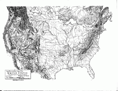
US Map - Landform Outline
Hand-drawn map of the US shows landforms (mountains and rivers) with amazing detail. Map created...
1461 miles away
Near US
1650 × 1272•131 KB•GIF
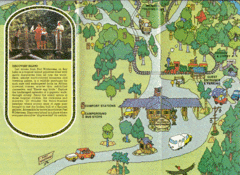
Walt Disney World Resort Fort Wilderness Guide...
Walt Disney World Resort Fort Wilderness Guide Bottom Half of Map
2433 miles away
Near Walt Disney World Resort, Lake Buena Vista, FL, US
2338 × 1702•2.5 MB•GIF
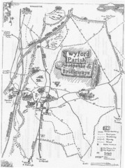
Twyford Parish Map
Footpaths and bridleways map of Twyford Parish
5338 miles away
Near Twyford, Reading, Wokingham, UK
2385 × 3194•824 KB•JPG
page 1 of 1


 Explore Maps
 Map Directory
