
1895 San Francisco Bay Area Map
Guide to the San Francisco Bay Area in 1895
0 miles away
Near San Francisco, CA, US
1337 × 1915•759 KB•JPG
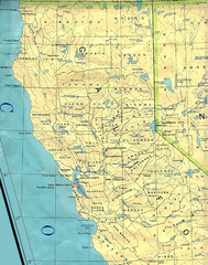
Northern California Map
Map of Northern California including cities, counties, and rivers
152 miles away
Near California
1274 × 1620•579 KB•JPG
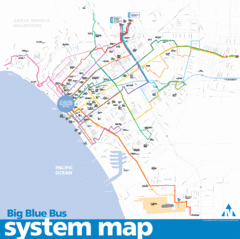
Big Blue Bus System Map
328 miles away
Near Santa Monica, California
1891 × 1884•401 KB•GIF
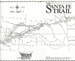
Santa Fe Trail Map
Historic map of the Santa Fe caravan trail
1062 miles away
Near Santa Fe, NM
2493 × 2035•2.7 MB•JPG

Jamaica Map
Map of Jamaica, with detail of districts and main cities on the Island
3019 miles away
Near Jamaica
1426 × 552•205 KB•JPG

Galapagos Islands Map
3299 miles away
Near galapagos islands
2500 × 1875•1.7 MB•JPG
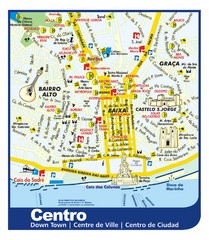
Lisbon Downtown Tourist Map
Tourist map of central Lisbon, Portugal. Shows hotels, restaurants, museums, and other points of...
5660 miles away
Near Lisbon, Portugal
1575 × 1811•476 KB•JPG
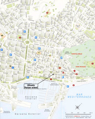
Alicante City Map
Street map for Alicante, Spain with parking and places of interest identified.
6008 miles away
Near Alicante, Spain
1000 × 1257•193 KB•JPG
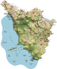
Tuscany Physical Map
Physical map of Tuscany, Italy.
6117 miles away
Near Tuscany, Italy
850 × 1029•181 KB•JPG
page 1 of 1


 Explore Maps
 Map Directory
