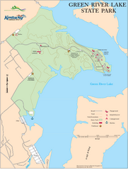
Green River Lake State Park Map
Map of trails and facilities in Green River Lake State Park.
0 miles away
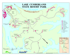
Lake Cumberland State Resort Park Map
Map of trails and facilities for Lake Cumberland State Resort Park.
30 miles away
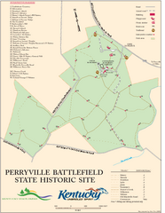
Perryville Battlefield State Historic Site Map
Map of trails and interpretive markers for the historical site of Perryville Battlefield.
34 miles away
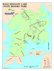
Dale Hollow Lake State Park Map
Map of trails and facilities of Dale Hollow Lake State Park.
43 miles away
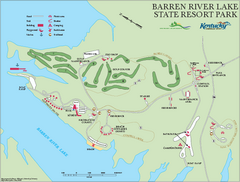
Barren River State Park map
Recreation map for Barren River Lake State Park in Kentucky
49 miles away
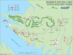
Barren River Lake State Resort Park Map
Map of facilities and golf course in Barren River Lake State Resort Park.
49 miles away
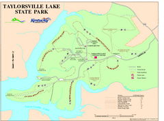
Taylorsville Lake State Park Map
Map of trails and facilities in Taylorsville Lake State Park.
50 miles away
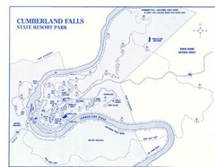
Cumberland Falls State Resort Park Map
Cumberland Falls Park Area Map
62 miles away
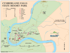
Cumberland Falls State Resort Park map
Detailed recreation map for Cumberland Falls State Resort Park in Kentucky
62 miles away
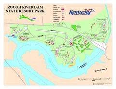
Rough River Dam State Resort Park Map
Map of trails, facilities and golf course in Rough River Dam State Resort Park.
68 miles away
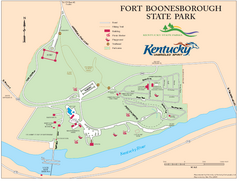
Fort Boonesborough State Park Map
Map of trails, historical sites and facilities at Fort Boonesborough State Park.
69 miles away
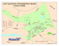
Levi Jackson Wilderness Road State Park Map
Map of trails and facilities of Levi Jackson Wilderness Road State Park.
73 miles away
Charlestown State Park Map
82 miles away
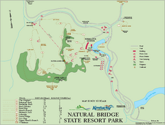
Natural Bridge State Resort Park map
Recreation map for Natural Bridge State Park in Kentucky
97 miles away
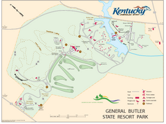
General Butler State Resort Park Map
Map of trails, facilities and golf course in General Butler State Resort Park.
97 miles away
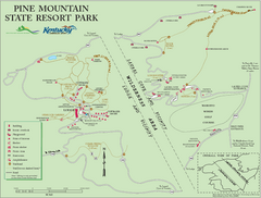
Pine Mountain State Resort Park Map
Map of trails and facilities in Pine Mountain State Resort Park .
98 miles away
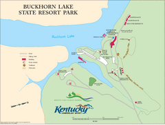
Buckhorn Lake State Resort Park Map
Map of Trails and Facilities of Buckhorn Lake State Resort Park.
102 miles away
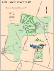
Ben Hawes State Park Map
Map of trails, facilities and golf course in Ben Hawes State Park.
108 miles away
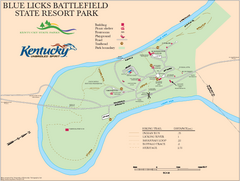
Blue Licks Battlefield State Resort Park Map
Map of Trails and Facilities in Blue Licks Battlefield State Resort Park.
112 miles away
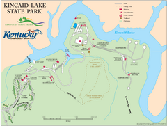
Kincaid Lake State Park Map
Map of trails, facilities and golf course in Kincaid Lake State Park.
115 miles away
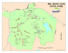
Big Bone Lick State Park Map
Map of trails and facilities for Big Bone Lick State Park.
116 miles away
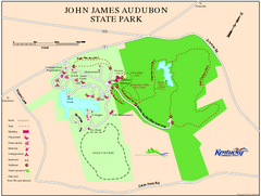
John James Audubon State Park Map
Map of trails, facilities and historical sites in John James Audubon State Park.
129 miles away
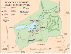
Pennyrile State Resort Park map
Recreation map for Pennyrile Forest State Park in Kentucky
129 miles away
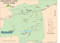
Kingdom Come State Park Map
Trail map for Kingdom Come State Park.
131 miles away
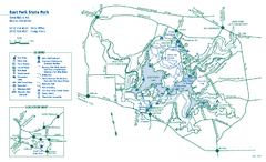
East Fork State Park map
Detailed recreation map for East Fork State Park in Ohio
138 miles away
Brown County State Park, Indiana Site Map
138 miles away
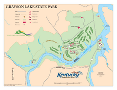
Grayson Lake State Park Map
Map of trails, facilities and golf course in Grayson Lake State Park.
141 miles away
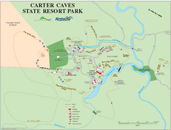
Carter Caves State Resort Park Map
Map of trails and facilities of Carter Caves State Resort Park.
143 miles away
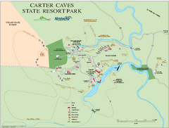
Carter Caves State Resort Park map
Detailed recreation map for Carter Caves State Park in Kentucky
143 miles away
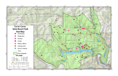
Carter Caves State Resort Park Topographic Trails...
Topographic map of the trails of Carter Caves State Resort Park.
143 miles away
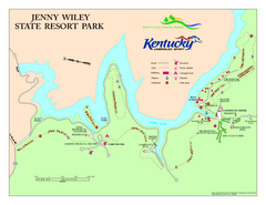
Jenny Wiley State Resort Park Map
Map of trails and facilities of Jenny Wiley State Resort Park.
146 miles away
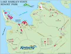
Lake Barkley State Resort Park Map
Map of the trails and facilities of Lake Barkley State Resort Park.
146 miles away
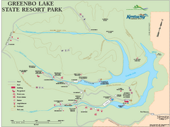
Greenbo Lake State Resort Park map
Detailed recreation map for Greenbo Lake State resort park in Kentucky
158 miles away
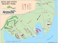
KenLake State Resort Park Map
Map of trails, facilities, and golf course for the KenLake State Resort Park located on the mid...
160 miles away
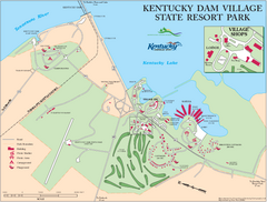
Kentucky Dam Village State Resort Park Map
Map of golf course and facilities for Kentucky Dam Village State Resort Park, one of three state...
164 miles away
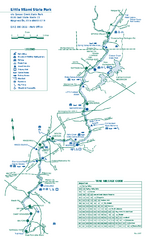
Little Miami State Park map
Detailed recreation map for Little Miami State Park and surrounding area in Ohio
165 miles away
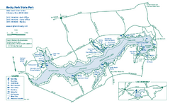
Rocky Fork State Park map
Detailed recreation map for Rocky Fork State Park in Ohio
166 miles away
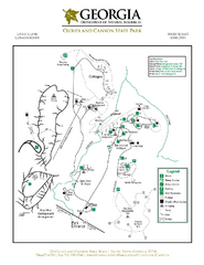
Cloudland Canyon State Park Map
Map of park with detail of trails and recreation zones
169 miles away
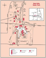
Red Hills, Illinois State Park Site Map
169 miles away
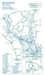
Paint Creek State Park map
Detailed recreation map for Paint Creek State Park in Ohio
174 miles away


 Explore Maps
 Map Directory
