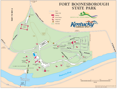
Fort Boonesborough State Park Map
Map of trails, historical sites and facilities at Fort Boonesborough State Park.
0 miles away
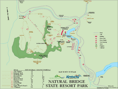
Natural Bridge State Resort Park map
Recreation map for Natural Bridge State Park in Kentucky
34 miles away
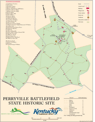
Perryville Battlefield State Historic Site Map
Map of trails and interpretive markers for the historical site of Perryville Battlefield.
39 miles away
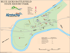
Blue Licks Battlefield State Resort Park Map
Map of Trails and Facilities in Blue Licks Battlefield State Resort Park.
49 miles away
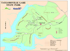
Taylorsville Lake State Park Map
Map of trails and facilities in Taylorsville Lake State Park.
52 miles away
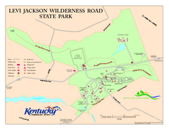
Levi Jackson Wilderness Road State Park Map
Map of trails and facilities of Levi Jackson Wilderness Road State Park.
56 miles away
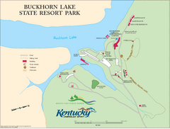
Buckhorn Lake State Resort Park Map
Map of Trails and Facilities of Buckhorn Lake State Resort Park.
58 miles away
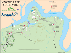
Kincaid Lake State Park Map
Map of trails, facilities and golf course in Kincaid Lake State Park.
59 miles away
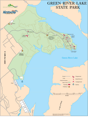
Green River Lake State Park Map
Map of trails and facilities in Green River Lake State Park.
69 miles away
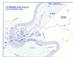
Cumberland Falls State Resort Park Map
Cumberland Falls Park Area Map
70 miles away
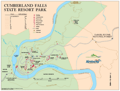
Cumberland Falls State Resort Park map
Detailed recreation map for Cumberland Falls State Resort Park in Kentucky
70 miles away
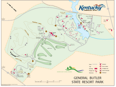
General Butler State Resort Park Map
Map of trails, facilities and golf course in General Butler State Resort Park.
73 miles away
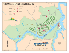
Grayson Lake State Park Map
Map of trails, facilities and golf course in Grayson Lake State Park.
73 miles away
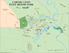
Carter Caves State Resort Park Map
Map of trails and facilities of Carter Caves State Resort Park.
74 miles away
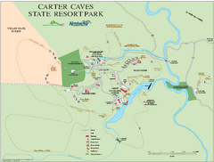
Carter Caves State Resort Park map
Detailed recreation map for Carter Caves State Park in Kentucky
74 miles away
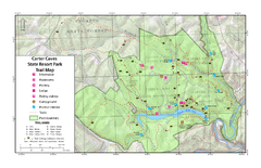
Carter Caves State Resort Park Topographic Trails...
Topographic map of the trails of Carter Caves State Resort Park.
74 miles away
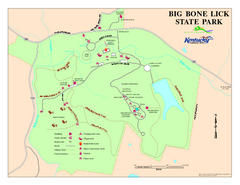
Big Bone Lick State Park Map
Map of trails and facilities for Big Bone Lick State Park.
75 miles away
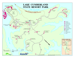
Lake Cumberland State Resort Park Map
Map of trails and facilities for Lake Cumberland State Resort Park.
78 miles away
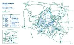
East Fork State Park map
Detailed recreation map for East Fork State Park in Ohio
81 miles away

Charlestown State Park Map
82 miles away
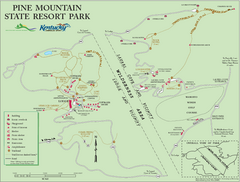
Pine Mountain State Resort Park Map
Map of trails and facilities in Pine Mountain State Resort Park .
84 miles away
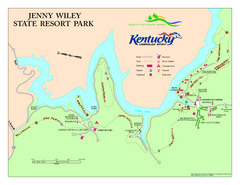
Jenny Wiley State Resort Park Map
Map of trails and facilities of Jenny Wiley State Resort Park.
87 miles away
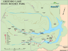
Greenbo Lake State Resort Park map
Detailed recreation map for Greenbo Lake State resort park in Kentucky
89 miles away
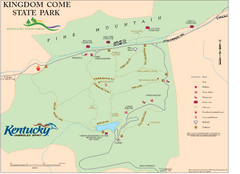
Kingdom Come State Park Map
Trail map for Kingdom Come State Park.
94 miles away
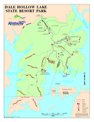
Dale Hollow Lake State Park Map
Map of trails and facilities of Dale Hollow Lake State Park.
100 miles away
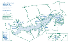
Rocky Fork State Park map
Detailed recreation map for Rocky Fork State Park in Ohio
102 miles away
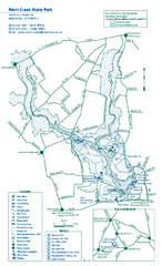
Paint Creek State Park map
Detailed recreation map for Paint Creek State Park in Ohio
110 miles away
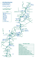
Little Miami State Park map
Detailed recreation map for Little Miami State Park and surrounding area in Ohio
112 miles away
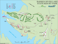
Barren River State Park map
Recreation map for Barren River Lake State Park in Kentucky
119 miles away
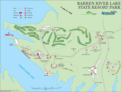
Barren River Lake State Resort Park Map
Map of facilities and golf course in Barren River Lake State Resort Park.
119 miles away
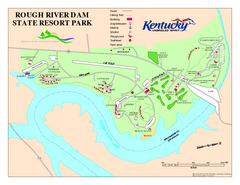
Rough River Dam State Resort Park Map
Map of trails, facilities and golf course in Rough River Dam State Resort Park.
122 miles away
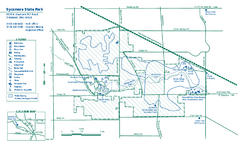
Sycamore State Park map
Detailed recreation map for Sycamore State Park in Ohio.
135 miles away

Tar Hollow State Park map
Detailed recreation map for tar Hollow State Park in Ohio
135 miles away
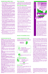
Brown County State Park, Indiana Site Map
137 miles away
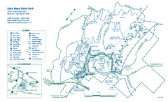
Lake Hope State Park map
Detailed recreation map for Lake Hope State Park in Ohio
147 miles away
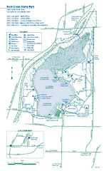
Buck Creek State Park map
Detailed recreation map for Buck Creek State Park in Ohio
149 miles away
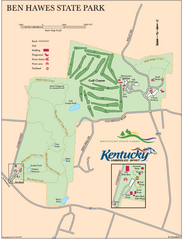
Ben Hawes State Park Map
Map of trails, facilities and golf course in Ben Hawes State Park.
157 miles away
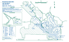
Strouds Run State Park map
Detailed recreation map for Strouds Run State Park in Ohio.
160 miles away
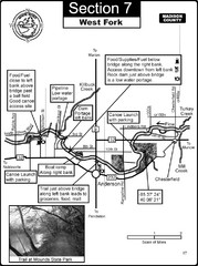
Anderson, IN & Mounds State Park Wabash River...
This is a page from the White River Guidebook. The map shows important information for boaters and...
172 miles away
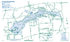
Buckeye Lake State Park map
Detailed recreation map for the Buckeye Lake area in Ohio
174 miles away


 Explore Maps
 Map Directory
