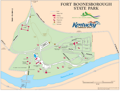
Fort Boonesborough State Park Map
Map of trails, historical sites and facilities at Fort Boonesborough State Park.
0 miles away
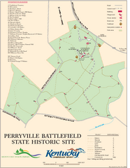
Perryville Battlefield State Historic Site Map
Map of trails and interpretive markers for the historical site of Perryville Battlefield.
39 miles away
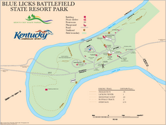
Blue Licks Battlefield State Resort Park Map
Map of Trails and Facilities in Blue Licks Battlefield State Resort Park.
49 miles away
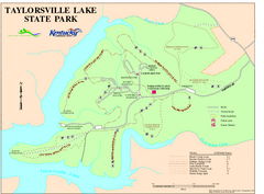
Taylorsville Lake State Park Map
Map of trails and facilities in Taylorsville Lake State Park.
52 miles away
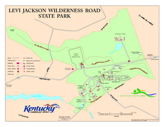
Levi Jackson Wilderness Road State Park Map
Map of trails and facilities of Levi Jackson Wilderness Road State Park.
56 miles away
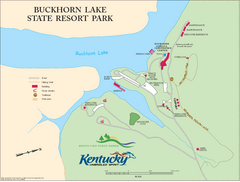
Buckhorn Lake State Resort Park Map
Map of Trails and Facilities of Buckhorn Lake State Resort Park.
58 miles away
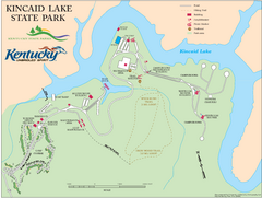
Kincaid Lake State Park Map
Map of trails, facilities and golf course in Kincaid Lake State Park.
59 miles away
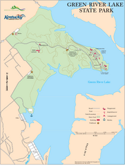
Green River Lake State Park Map
Map of trails and facilities in Green River Lake State Park.
69 miles away
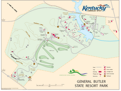
General Butler State Resort Park Map
Map of trails, facilities and golf course in General Butler State Resort Park.
73 miles away
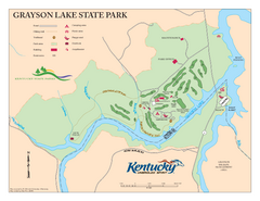
Grayson Lake State Park Map
Map of trails, facilities and golf course in Grayson Lake State Park.
73 miles away
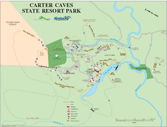
Carter Caves State Resort Park Map
Map of trails and facilities of Carter Caves State Resort Park.
74 miles away
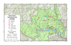
Carter Caves State Resort Park Topographic Trails...
Topographic map of the trails of Carter Caves State Resort Park.
74 miles away
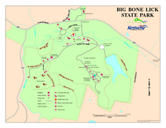
Big Bone Lick State Park Map
Map of trails and facilities for Big Bone Lick State Park.
75 miles away
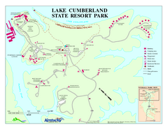
Lake Cumberland State Resort Park Map
Map of trails and facilities for Lake Cumberland State Resort Park.
78 miles away
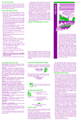
Charlestown State Park Map
82 miles away
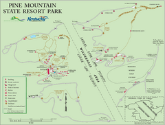
Pine Mountain State Resort Park Map
Map of trails and facilities in Pine Mountain State Resort Park .
84 miles away
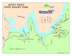
Jenny Wiley State Resort Park Map
Map of trails and facilities of Jenny Wiley State Resort Park.
87 miles away
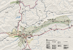
Cumberland Gap National Historical Park Official...
Official NPS map of Cumberland Gap National Historical Park in Virginia-Tennessee-Kentucky. Map...
92 miles away
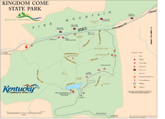
Kingdom Come State Park Map
Trail map for Kingdom Come State Park.
94 miles away
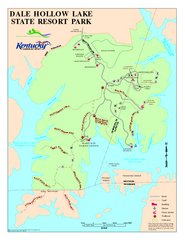
Dale Hollow Lake State Park Map
Map of trails and facilities of Dale Hollow Lake State Park.
100 miles away
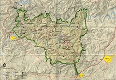
Mammoth Cave National Park Map
Visitor Center Area Map and Park Map. Topographical map that shows parameters of the park as well...
110 miles away
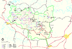
Mammoth Cave National Park Official Park Map
Official NPS map of Mammoth Cave National Park in Kentucky. Most of the park's resources and...
111 miles away
Natural Tunnel State Park Map
Detailed and informative state park map and legend.
116 miles away
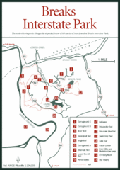
Breaks Interstate Park Map
Clear park map and legend.
117 miles away
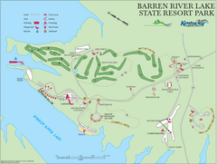
Barren River Lake State Resort Park Map
Map of facilities and golf course in Barren River Lake State Resort Park.
119 miles away
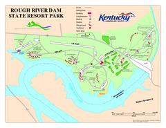
Rough River Dam State Resort Park Map
Map of trails, facilities and golf course in Rough River Dam State Resort Park.
122 miles away
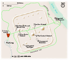
Hopewell Culture National Historical Park...
Official NPS map of Hopewell Culture National Historical Park in Ohio. Map shows all areas. he...
127 miles away
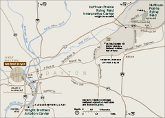
Dayton Aviation Heritage National Historical Park...
Official NPS map of Dayton Aviation Heritage National Historical Park in Ohio. Dayton Aviation...
132 miles away
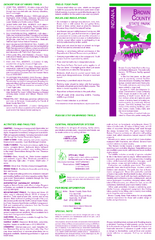
Brown County State Park, Indiana Site Map
137 miles away
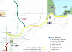
Buck Creek Trail Map
148 miles away
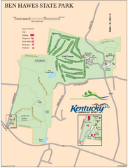
Ben Hawes State Park Map
Map of trails, facilities and golf course in Ben Hawes State Park.
157 miles away
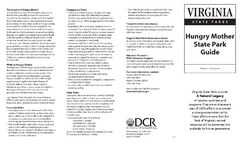
Hungry Mother State Park Map
Detailed map of this small state park.
167 miles away
Grayson Highlands State Park Map
Clear and descriptive map of this beautiful state park.
176 miles away
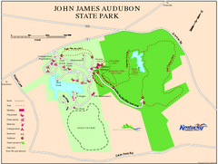
John James Audubon State Park Map
Map of trails, facilities and historical sites in John James Audubon State Park.
177 miles away
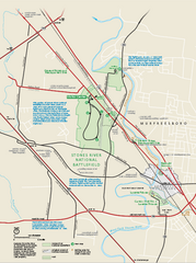
Stones River National Battlefield Official Map
Official NPS map of Stones River National Battlefield in Virginia. 8 AM to 5 PM Daily Pedestrians...
181 miles away
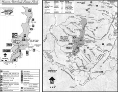
Mount Mitchell State Park map
Official map of Mt. Mitchell State Park in North Carolina. Park contains the 6,684 ft summit of...
184 miles away
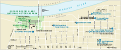
George Rogers Clark National Historical Park...
Official NPS map of George Rogers Clark National Historical Park in Indiana. Map shows all areas...
184 miles away
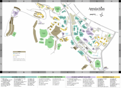
Appalachian State University Campus Map
Campus map of Appalachian State University in Boone, NC
184 miles away
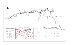
High Bridge Trail Map
Take a hike down this amazing Virginia trail.
186 miles away
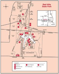
Red Hills, Illinois State Park Site Map
201 miles away


 Explore Maps
 Map Directory
