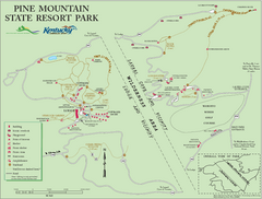
Pine Mountain State Resort Park Map
Map of trails and facilities in Pine Mountain State Resort Park .
0 miles away
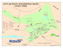
Levi Jackson Wilderness Road State Park Map
Map of trails and facilities of Levi Jackson Wilderness Road State Park.
30 miles away
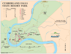
Cumberland Falls State Resort Park map
Detailed recreation map for Cumberland Falls State Resort Park in Kentucky
36 miles away
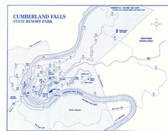
Cumberland Falls State Resort Park Map
Cumberland Falls Park Area Map
36 miles away
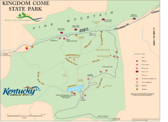
Kingdom Come State Park Map
Trail map for Kingdom Come State Park.
44 miles away
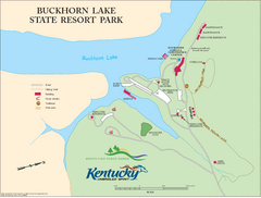
Buckhorn Lake State Resort Park Map
Map of Trails and Facilities of Buckhorn Lake State Resort Park.
44 miles away
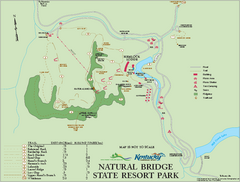
Natural Bridge State Resort Park map
Recreation map for Natural Bridge State Park in Kentucky
72 miles away
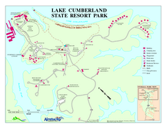
Lake Cumberland State Resort Park Map
Map of trails and facilities for Lake Cumberland State Resort Park.
76 miles away
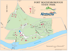
Fort Boonesborough State Park Map
Map of trails, historical sites and facilities at Fort Boonesborough State Park.
84 miles away
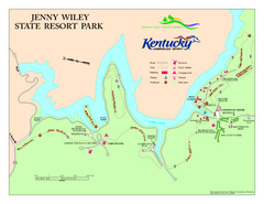
Jenny Wiley State Resort Park Map
Map of trails and facilities of Jenny Wiley State Resort Park.
85 miles away
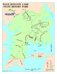
Dale Hollow Lake State Park Map
Map of trails and facilities of Dale Hollow Lake State Park.
88 miles away
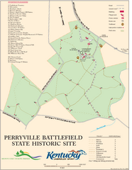
Perryville Battlefield State Historic Site Map
Map of trails and interpretive markers for the historical site of Perryville Battlefield.
95 miles away
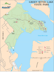
Green River Lake State Park Map
Map of trails and facilities in Green River Lake State Park.
98 miles away
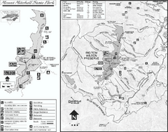
Mount Mitchell State Park map
Detailed recreational map for Mt. Mitchell State Park in North Carolina
105 miles away
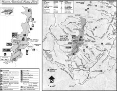
Mount Mitchell State Park map
Official map of Mt. Mitchell State Park in North Carolina. Park contains the 6,684 ft summit of...
105 miles away
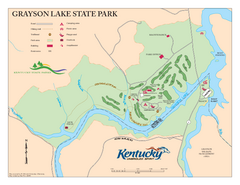
Grayson Lake State Park Map
Map of trails, facilities and golf course in Grayson Lake State Park.
107 miles away
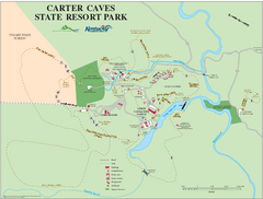
Carter Caves State Resort Park Map
Map of trails and facilities of Carter Caves State Resort Park.
118 miles away
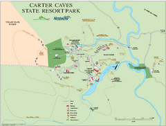
Carter Caves State Resort Park map
Detailed recreation map for Carter Caves State Park in Kentucky
118 miles away
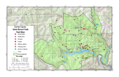
Carter Caves State Resort Park Topographic Trails...
Topographic map of the trails of Carter Caves State Resort Park.
118 miles away
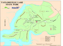
Taylorsville Lake State Park Map
Map of trails and facilities in Taylorsville Lake State Park.
121 miles away
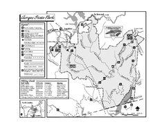
Gorges State Park map
Detailed recreation map for Gorges State Park in North Carolina
122 miles away
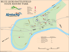
Blue Licks Battlefield State Resort Park Map
Map of Trails and Facilities in Blue Licks Battlefield State Resort Park.
125 miles away
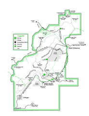
Black Rock State Park map
Detailed recreation map for Black Rock State Park in Georgia
126 miles away
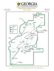
Black Rock Mountain State Park Map
Map of park with detail of trails and recreation zones
127 miles away
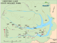
Greenbo Lake State Resort Park map
Detailed recreation map for Greenbo Lake State resort park in Kentucky
129 miles away
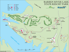
Barren River State Park map
Recreation map for Barren River Lake State Park in Kentucky
131 miles away
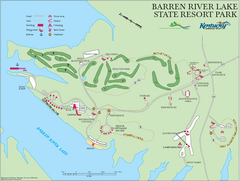
Barren River Lake State Resort Park Map
Map of facilities and golf course in Barren River Lake State Resort Park.
131 miles away
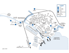
Moccasin Creek State Park Map
Map of park with detail of trails and recreation zones
131 miles away
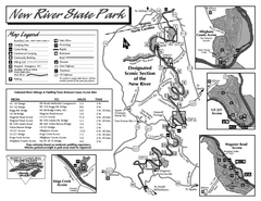
New River State Park map
Detailed recreation map for the New River State Park in North Carolina
132 miles away
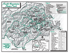
South Mountains State Park map
Detailed recrational map for South Mountain State Park in North Carolina
139 miles away
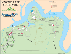
Kincaid Lake State Park Map
Map of trails, facilities and golf course in Kincaid Lake State Park.
140 miles away
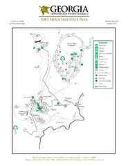
Fort Mountain State Park Map
Map of park with detail of trails and recreation zones
147 miles away
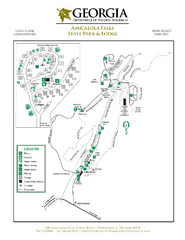
Amicalola Falls State Park Map
Map of park with detail of trails and recreation zones
153 miles away
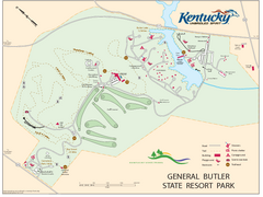
General Butler State Resort Park Map
Map of trails, facilities and golf course in General Butler State Resort Park.
155 miles away
Charlestown State Park Map
158 miles away
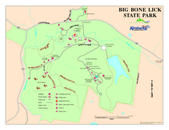
Big Bone Lick State Park Map
Map of trails and facilities for Big Bone Lick State Park.
159 miles away
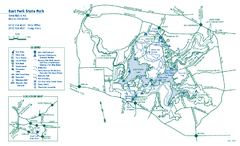
East Fork State Park map
Detailed recreation map for East Fork State Park in Ohio
159 miles away
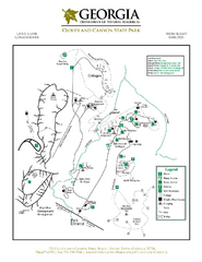
Cloudland Canyon State Park Map
Map of park with detail of trails and recreation zones
165 miles away
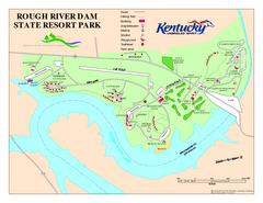
Rough River Dam State Resort Park Map
Map of trails, facilities and golf course in Rough River Dam State Resort Park.
166 miles away
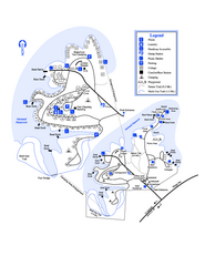
Hart State Park Map
Map of park with detail of trails and recreation zones
169 miles away


 Explore Maps
 Map Directory
