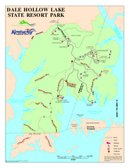
Dale Hollow Lake State Park Map
Map of trails and facilities of Dale Hollow Lake State Park.
0 miles away
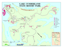
Lake Cumberland State Resort Park Map
Map of trails and facilities for Lake Cumberland State Resort Park.
21 miles away
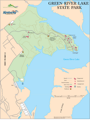
Green River Lake State Park Map
Map of trails and facilities in Green River Lake State Park.
43 miles away
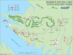
Barren River Lake State Resort Park Map
Map of facilities and golf course in Barren River Lake State Resort Park.
45 miles away
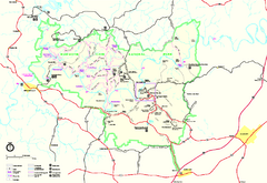
Mammoth Cave National Park Official Park Map
Official NPS map of Mammoth Cave National Park in Kentucky. Most of the park's resources and...
60 miles away
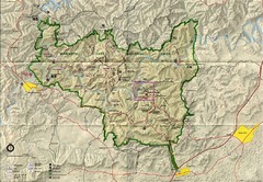
Mammoth Cave National Park Map
Visitor Center Area Map and Park Map. Topographical map that shows parameters of the park as well...
60 miles away
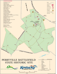
Perryville Battlefield State Historic Site Map
Map of trails and interpretive markers for the historical site of Perryville Battlefield.
73 miles away
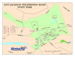
Levi Jackson Wilderness Road State Park Map
Map of trails and facilities of Levi Jackson Wilderness Road State Park.
75 miles away
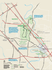
Stones River National Battlefield Official Map
Official NPS map of Stones River National Battlefield in Virginia. 8 AM to 5 PM Daily Pedestrians...
83 miles away
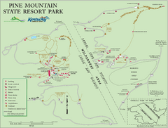
Pine Mountain State Resort Park Map
Map of trails and facilities in Pine Mountain State Resort Park .
88 miles away
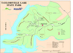
Taylorsville Lake State Park Map
Map of trails and facilities in Taylorsville Lake State Park.
93 miles away
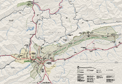
Cumberland Gap National Historical Park Official...
Official NPS map of Cumberland Gap National Historical Park in Virginia-Tennessee-Kentucky. Map...
94 miles away
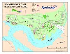
Rough River Dam State Resort Park Map
Map of trails, facilities and golf course in Rough River Dam State Resort Park.
94 miles away
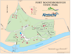
Fort Boonesborough State Park Map
Map of trails, historical sites and facilities at Fort Boonesborough State Park.
100 miles away
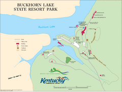
Buckhorn Lake State Resort Park Map
Map of Trails and Facilities of Buckhorn Lake State Resort Park.
111 miles away
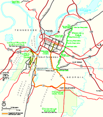
Chickamauga & Chattanooga National Military...
Official NPS map of Chickamauga & Chattanooga National Military Park in Georgia. All units of...
120 miles away
Charlestown State Park Map
125 miles away
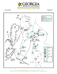
Cloudland Canyon State Park Map
Map of park with detail of trails and recreation zones
126 miles away
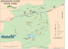
Kingdom Come State Park Map
Trail map for Kingdom Come State Park.
130 miles away
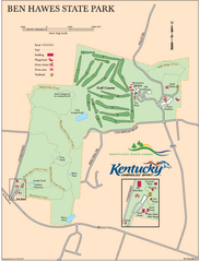
Ben Hawes State Park Map
Map of trails, facilities and golf course in Ben Hawes State Park.
131 miles away
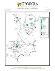
Fort Mountain State Park Map
Map of park with detail of trails and recreation zones
135 miles away
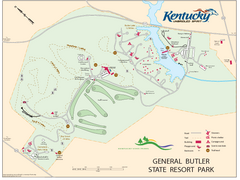
General Butler State Resort Park Map
Map of trails, facilities and golf course in General Butler State Resort Park.
140 miles away
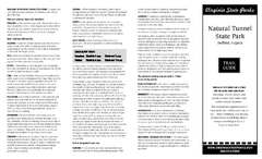
Natural Tunnel State Park Map
Detailed and informative state park map and legend.
143 miles away
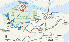
Fort Donelson National Battlefield Official Map
Official NPS map of Fort Donelson National Battlefield in Tennessee. Fort Donelson visitor center...
143 miles away
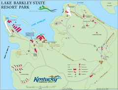
Lake Barkley State Resort Park Map
Map of the trails and facilities of Lake Barkley State Resort Park.
147 miles away
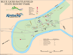
Blue Licks Battlefield State Resort Park Map
Map of Trails and Facilities in Blue Licks Battlefield State Resort Park.
147 miles away
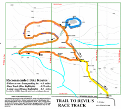
Wade Mountain Map
Recommended Bike Routes for Wade Mountain including the trail to Devil's Race Track
147 miles away
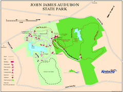
John James Audubon State Park Map
Map of trails, facilities and historical sites in John James Audubon State Park.
151 miles away
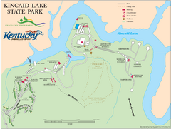
Kincaid Lake State Park Map
Map of trails, facilities and golf course in Kincaid Lake State Park.
153 miles away
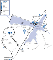
James H. Floyd State Park Map
Map of park with detail of trails and recreation zones
153 miles away
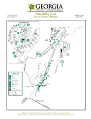
Amicalola Falls State Park Map
Map of park with detail of trails and recreation zones
156 miles away
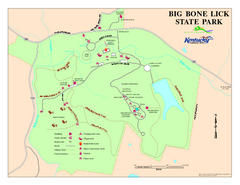
Big Bone Lick State Park Map
Map of trails and facilities for Big Bone Lick State Park.
157 miles away
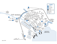
Moccasin Creek State Park Map
Map of park with detail of trails and recreation zones
157 miles away
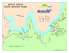
Jenny Wiley State Resort Park Map
Map of trails and facilities of Jenny Wiley State Resort Park.
159 miles away
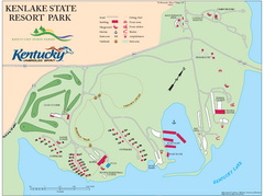
KenLake State Resort Park Map
Map of trails, facilities, and golf course for the KenLake State Resort Park located on the mid...
159 miles away
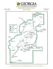
Black Rock Mountain State Park Map
Map of park with detail of trails and recreation zones
160 miles away
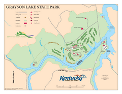
Grayson Lake State Park Map
Map of trails, facilities and golf course in Grayson Lake State Park.
164 miles away
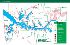
Wheeler National Wildlife Refuge Map
Map of Wheeler National Wildlife Refuge. Includes all roads, hiking trails, camp grounds and...
166 miles away
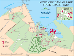
Kentucky Dam Village State Resort Park Map
Map of golf course and facilities for Kentucky Dam Village State Resort Park, one of three state...
168 miles away
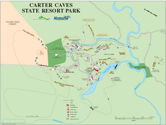
Carter Caves State Resort Park Map
Map of trails and facilities of Carter Caves State Resort Park.
168 miles away


 Explore Maps
 Map Directory
