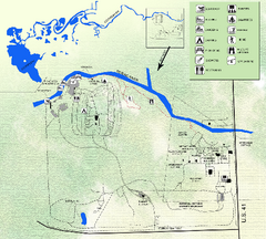
Koreshan State Historic Site Map
Map of park with detail of trails and recreation zones
0 miles away
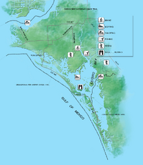
Estero Bay Preserve State Park Map
Map of park with detail of trails and recreation zones
4 miles away
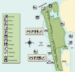
Delnor-Wiggings Pass State Park Map
Map of park with detail of trails and recreation zones
11 miles away
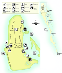
Cayo Costa State Park Map
Map of park with detail of trails and recreation zones
31 miles away
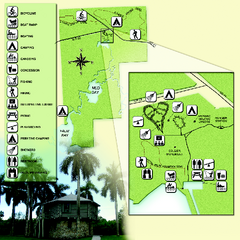
Collier-Seminole State Park Map
Map of park with detail of trails and recreation zones
34 miles away
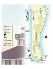
Gasparilla Island State Park Map
Map of park with detail of trails and recreation zones
35 miles away
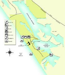
Don Pedro Island State Park Map
Map of park with detail of trails and recreation zones
41 miles away
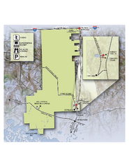
Fakahatchee Strand Preserve State Park Map
Map of park
44 miles away
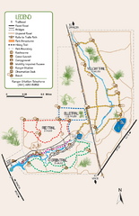
Oscar Scherer State Park Trail Map
Map of park with detail of hiking trails throughout
65 miles away
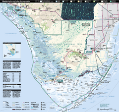
Everglades National Park Map
Official NPS map of Everglades National Park
82 miles away
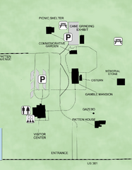
Gamble Plantation Historic State Park Map
Map of park with detail of recreation zones
87 miles away
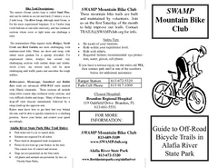
Alafia River State Park Bike Trail Map
Map of park with detail of various bike trails throughout
95 miles away
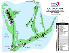
Fort De Sota Park Map
Shows facilities of Ft DeSota Park, Florida. Home of North Beach, rated #1 beach in America by...
100 miles away
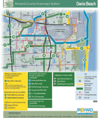
Dania Beach Tourist Map
107 miles away
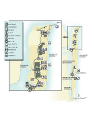
John U. Lloyd Beach State Park Map
Map of park with detail of trails and recreation zones
109 miles away
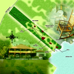
The Barnacle Historic State Park Map
Map of park
109 miles away
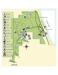
Jonathan Dickinson State Park Map
Map of park with detail of trails and recreation zones
111 miles away
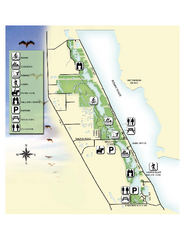
Savannas Preserve State Park Map
Map of park with detail of trails and recreation zones
113 miles away
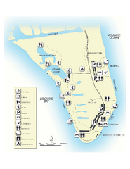
Bill Baggs State Recreation Area Map
Map of park with detail of various recreation zones
115 miles away
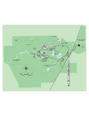
Hillsborough River State Park Map
Map of park with detail of trails and recreation zones
119 miles away
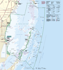
Biscayne National Park Official Map
Official NPS map of Biscayne National Park in Florida. Convoy Point, location of the parks...
122 miles away
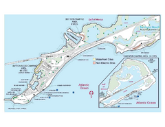
Bahia Honda State Park Map
Map of park with detail of recreation zones
127 miles away
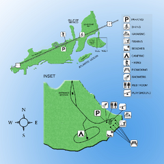
Curry Hammock State Park Map
Map of park with detail of various recreation zones
128 miles away
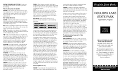
Holiday Lake State Park Map
Easy to read state park map.
128 miles away
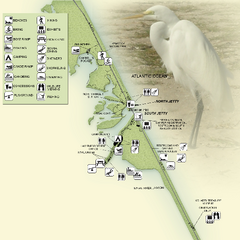
Sebastian Inlet State Park Map
Map of park with detail of trails and recreation zones
129 miles away
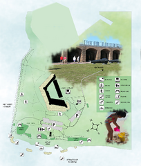
Fort Zachary Taylor State Park Map
Map of park with detail of trails and recreation zones
130 miles away
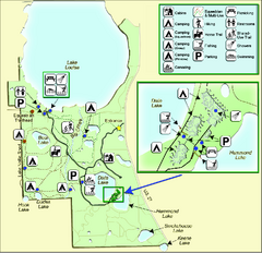
Lake Louisa State Park Map
Map of park with detail of trails and recreation zones
140 miles away
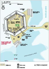
Garden Key Dry Tortugas National Park Map
Detail Map of Garden Key, Dry Tortugas National Park in Florida. The park is located almost 70...
141 miles away
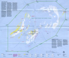
Dry Tortugas National Park Map
Park map of Dry Tortugas National Park, Florida
141 miles away
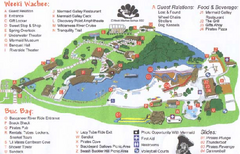
Weeki Wachee Springs State Park Map
Map of park
151 miles away
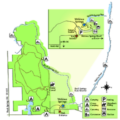
Wekiwa Springs State Park Map
Map of park with detail of trails and recreation zones
160 miles away
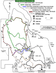
Wekiwa Springs State Park Trail Map
Trail map of park
161 miles away
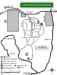
Rock Springs Run State Reserve Trail Map
Map of various trails throughout reserve
165 miles away
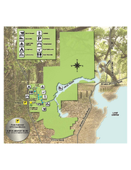
Lake Griffin State Park Map
Map of park with detail of trails and recreation zones
168 miles away
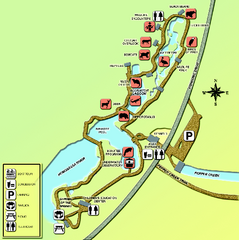
Homosassa Springs Wildlife State Park map
Map of park with detail of trails and recreation zones
170 miles away
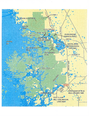
Crystal River Preserve State Park Map
Map of park with detail of recreation zones
174 miles away
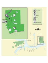
Crystal River Archeological State Park Map
Map of park with detail of trails and recreation zones
179 miles away
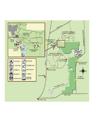
Rainbow Springs State Park Map
Map of park with detail of recreation zones
188 miles away
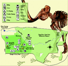
Silver River State Park Map
Map of park with detail of trails and recreation zones
192 miles away
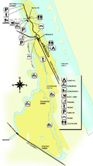
Tomoka State Park Map
Map of park with detail of recreation zones
206 miles away


 Explore Maps
 Map Directory
