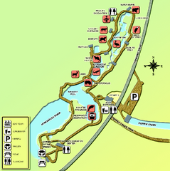
Homosassa Springs Wildlife State Park map
Map of park with detail of trails and recreation zones
0 miles away
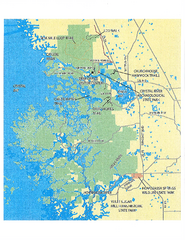
Crystal River Preserve State Park Map
Map of park with detail of recreation zones
5 miles away
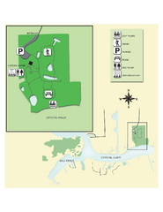
Crystal River Archeological State Park Map
Map of park with detail of trails and recreation zones
8 miles away
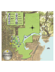
Lake Griffin State Park Map
Map of park with detail of trails and recreation zones
42 miles away
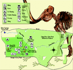
Silver River State Park Map
Map of park with detail of trails and recreation zones
45 miles away
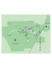
Hillsborough River State Park Map
Map of park with detail of trails and recreation zones
52 miles away
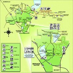
Paynes Prairie State Preserve Map
Map of preserve with detail of trails and recreation zones
57 miles away
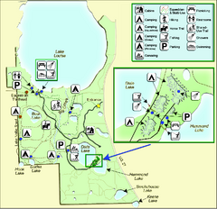
Lake Louisa State Park Map
Map of park with detail of trails and recreation zones
57 miles away
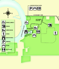
Fanning Springs State Park Map
Map of park with detail of trails and recreation zones
59 miles away
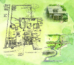
Dudley Farm Historic State Park Map
Map of park with detail of historical monuments
59 miles away
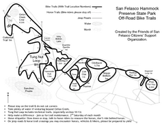
San Felasco Hammock Preserve State Park Bike...
Map of bike trails throughout preserve
65 miles away
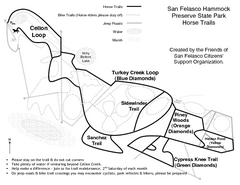
San Felasco Hammock Preserve State Park Horse...
Map of horse trails throughout preserve
65 miles away
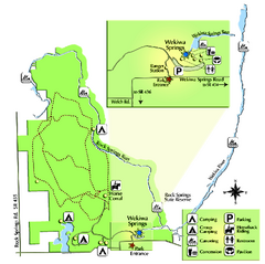
Wekiwa Springs State Park Map
Map of park with detail of trails and recreation zones
67 miles away
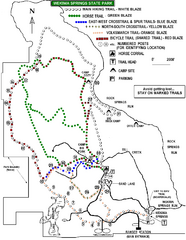
Wekiwa Springs State Park Trail Map
Trail map of park
67 miles away
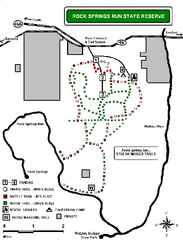
Rock Springs Run State Reserve Trail Map
Map of various trails throughout reserve
68 miles away
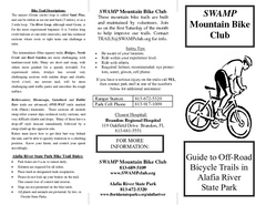
Alafia River State Park Bike Trail Map
Map of park with detail of various bike trails throughout
76 miles away
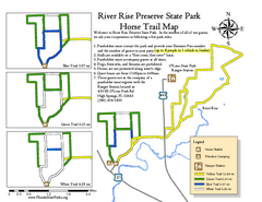
River Rise Preserve State Park Horse Trail Map
Map of horse trails throughout preserve
77 miles away
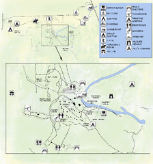
OLeno State Park Map
Map of park with detail of trails and recreation zones
77 miles away
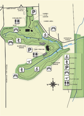
Ravine Gardens State Park Map
Map of park with detail of trails and recreation zones
81 miles away
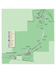
Ichetucknee Springs State Park Map
Map of park with detail of trails and recreation zones
82 miles away
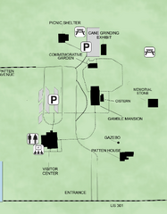
Gamble Plantation Historic State Park Map
Map of park with detail of recreation zones
88 miles away
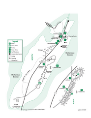
Stephen C. Foster State Park Map
Map of park with detail of trails and recreation zones
106 miles away
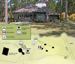
Forest Capital Museum State Park Map
Map of park with detail of recreation zones
108 miles away
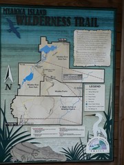
Myakka Island Trail Map
Trail map of Myakka Island. From photo.
110 miles away
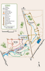
Oscar Scherer State Park Trail Map
Map of park with detail of hiking trails throughout
113 miles away
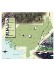
Econfina River State Park Map
Map of park with detail of trails and recreation zones
125 miles away
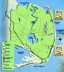
Bald Point State Park Map
Map of park with detail of trails and recreation zones
132 miles away
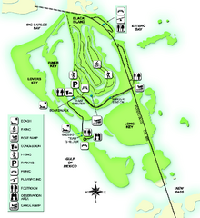
Lovers Key State Park Map
Map of park with detail of trails and recreation zones
134 miles away
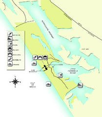
Don Pedro Island State Park Map
Map of park with detail of trails and recreation zones
136 miles away
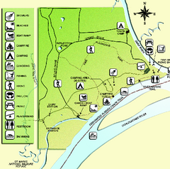
Ochlockonee River State Park Map
Map of park with detail of trails and recreation zones
141 miles away
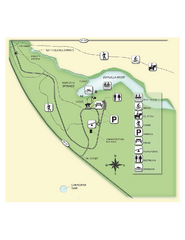
Edward Ball Wakulla Springs State Park Map
Map of park with detail of trails and recreation zones
142 miles away
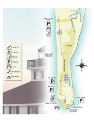
Gasparilla Island State Park Map
Map of park with detail of trails and recreation zones
144 miles away
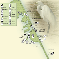
Sebastian Inlet State Park Map
Map of park with detail of trails and recreation zones
146 miles away
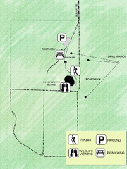
Letchworth-Love Mounds Map
Map of park with detail of trails and recreation zones
146 miles away
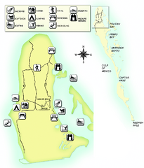
Cayo Costa State Park Map
Map of park with detail of trails and recreation zones
148 miles away
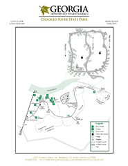
Crooked River State Park Map
Map of park with detail of trails and recreation zones
154 miles away
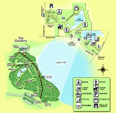
Alfred B. Maclay Gardens State Park Map
Map of park with detail of trails and recreation zones
155 miles away
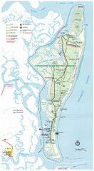
Cumberland Island Map
Map of Cumberland Island, including hiking trails and campgrounds
159 miles away
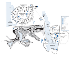
Laura S. Walker State Park Map
Map of park with detail of trails and recreation zones
163 miles away
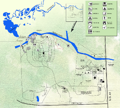
Koreshan State Historic Site Map
Map of park with detail of trails and recreation zones
170 miles away


 Explore Maps
 Map Directory
