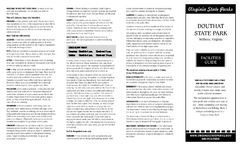
Douthat State Park Map
Clear state park map with marked facilities.
0 miles away
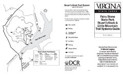
Fairy Stone State Park Map
Clearly marked state park map with trail system.
77 miles away
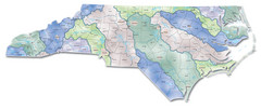
Watersheds North Carolina Map
North Carolina’s rivers link the Blue Ridge, Piedmont, and Coastal Plain. This map shows the...
153 miles away
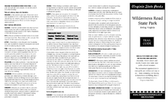
Wilderness Road State Park Map
Clearly marked state park map and legend.
159 miles away
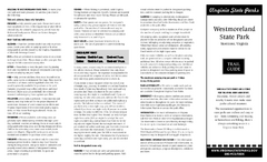
Westmoreland State Park Map
Fishing, hiking, camping and more are all available at this state park.
161 miles away
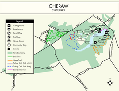
Cheraw State Park Map
Clear and descriptive state park map.
225 miles away
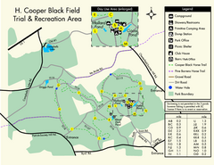
H. Cooper Black Field Map
Detailed map and legend of this state park.
229 miles away
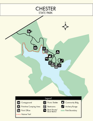
Chester State Park Map
Simple and clear state park map.
235 miles away
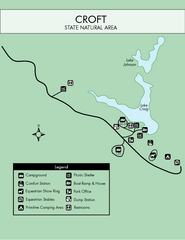
Croft State Park Map
Simple state park map.
236 miles away
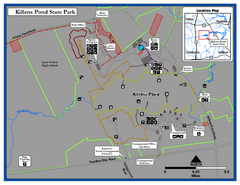
Killens Pond State Park Map
Map of Delaware State Park.
243 miles away
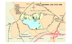
Memorial Lake State Park map
Detailed map of Memorial Lake State Park in Pennsylvania
246 miles away
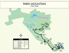
Paris Mountain State Park Map
Clearly labeled map of this beautiful state park.
249 miles away
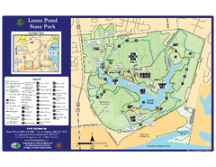
Lums Pond State Park Map
Clear legend and map of this wonderful state park.
249 miles away
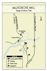
Musgrove Mill State Park Map
Clearly marked state park map.
254 miles away
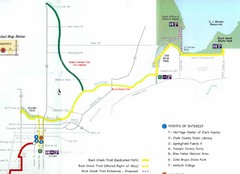
Buck Creek Trail Map
256 miles away
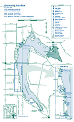
Pymatuning State Park Map
Detailed recreation map for Pymatuning State Park in Ohio
259 miles away
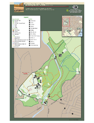
Brandywine Creek State Park Map
Easy to read map and legend of this beautiful state park.
264 miles away
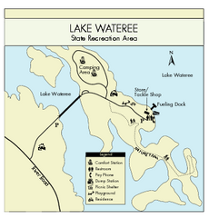
Lake Wateree State Park Map
Clear map of State Park.
270 miles away
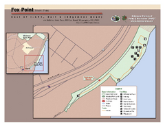
Fox Point State Park Map
Clear and simple state park map.
270 miles away
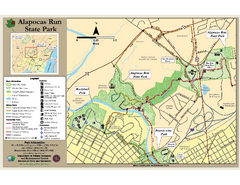
Alapocas Run State Park Map
Detailed map and clear legend for this nice state park.
273 miles away
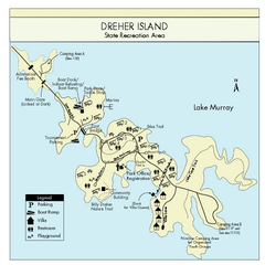
Dreher Island State Park Map
Clearly labeled state park map.
277 miles away
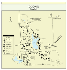
Oconee State Park Map
Beautiful state park clearly mapped with legend.
278 miles away
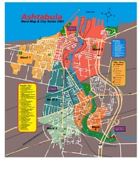
Ashtabula Tourist Map
Tourist map of Ashtabula, Ohio, situated on Lake Erie. Shows wards, notable sites, boating info...
282 miles away
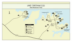
Lake Greenwood State Park Map
Clearly marked state park map on a beautiful waterfront.
282 miles away
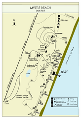
Myrtle Beach State Park Map
Clearly marked state park map
296 miles away
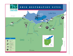
Lake Erie Restoration Sites Map
Shows restoration sites for Lake Erie in Ohio
303 miles away
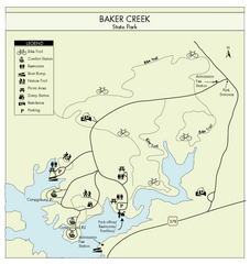
Baker Creek State Park Map
Beautiful park with wonderful views and plenty of wild life.
310 miles away
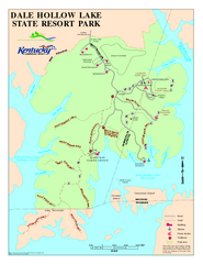
Dale Hollow Lake State Park Map
Map of trails and facilities of Dale Hollow Lake State Park.
314 miles away
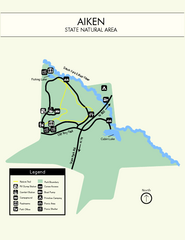
Aiken State Park Map
Small and simple state park map.
314 miles away
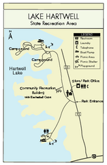
Lake Hartwell State Park Map
Clear state park map.
322 miles away
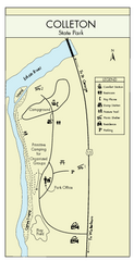
Colleton State Park Map
Detailed map and map legend of this beautiful state park.
336 miles away
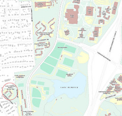
Brandon Town Map
Town of Brandon and University of Georgia Campus
338 miles away
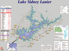
Lake Sidney Lanier Recreation Map
Recreation map of Lake Sidney Lanier in Georgia. Shows campgrounds, day use parks, marinas, and...
341 miles away
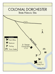
Colonial Dorchester State Park Map
Office, parking, picnic sites and more are all clearly marked on this state park site.
342 miles away
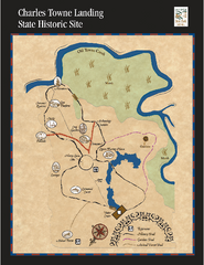
Charles Towne Landing State Park Map
This small park is full of beautiful hiking trails set in a natural setting.
351 miles away
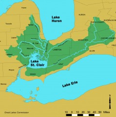
Lake St. Clair/St. Clair River watershed Map
Shows the Lake St. Clair/St. Clair River watershed.
352 miles away
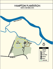
Hampton Plantation State Park Map
Clear and easy to read map.
358 miles away
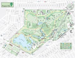
Prospect Park Map
Overview map of Prospect Park, a 585-acre city park located in the heart of Brooklyn. Designed by...
367 miles away
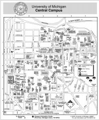
University of Michigan - Ann Arbor Map
University of Michigan - Ann Arbor, campus map. All buildings shown.
369 miles away

Chain O' Lakes State Park, Indiana Site Map
382 miles away


 Explore Maps
 Map Directory
