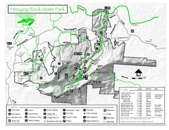
Hanging Rock state park Map
Interior color map of Hanging Rock State Park.
0 miles away
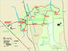
Guilford Courthouse National Military Park...
Official NPS map of Guilford Courthouse National Military Park in North Carolina. Open All Year 8...
30 miles away
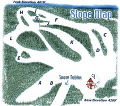
Hawksnest Golf & Ski Resort Ski Trail Map
Trail map from Hawksnest Golf & Ski Resort.
81 miles away
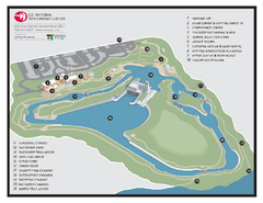
US National Whitewater Center Map
Facility map of the US National Whitewater Center in Charlotte, North Carolina
88 miles away
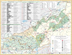
Pisgah National Forest and Nantahala National...
Pisgah National Forest and Nantahala National Forest recreation map. Contains list of all...
115 miles away
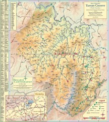
Yancey County Chamber of Commerce Map
Map of Yancey County, North Carolina. Shows all public roads, communities, hiking trails and picnic...
115 miles away
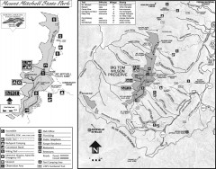
Mount Mitchell State Park map
Official map of Mt. Mitchell State Park in North Carolina. Park contains the 6,684 ft summit of...
120 miles away
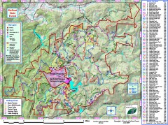
DuPont State Forest Trail map
Trail map of DuPont State Forest. Shows all trails with mileages. From dupontforest.com: "...
152 miles away
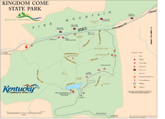
Kingdom Come State Park Map
Trail map for Kingdom Come State Park.
156 miles away
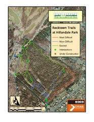
Rocktown Trail Map
Aerial trail map of Rocktown trails at Hillandale Park in Harrisonburg, VA
161 miles away
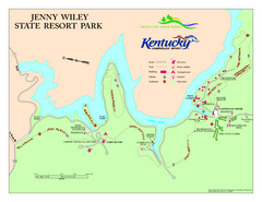
Jenny Wiley State Resort Park Map
Map of trails and facilities of Jenny Wiley State Resort Park.
163 miles away
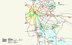
Richmond National Battlefield Park Official Map
Official NPS map of Richmond National Battlefield Park in Virginia. Park battlefields are open...
176 miles away
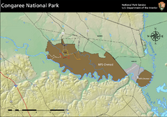
Congaree National Park Official Park Map
Official NPS map of Congaree National Park. Map shows all areas. Congaree National Park is open...
182 miles away
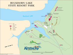
Buckhorn Lake State Resort Park Map
Map of Trails and Facilities of Buckhorn Lake State Resort Park.
189 miles away
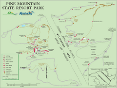
Pine Mountain State Resort Park Map
Map of trails and facilities in Pine Mountain State Resort Park .
192 miles away
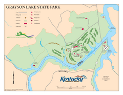
Grayson Lake State Park Map
Map of trails, facilities and golf course in Grayson Lake State Park.
197 miles away
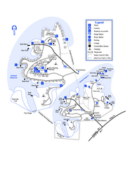
Hart State Park Map
Map of park with detail of trails and recreation zones
204 miles away
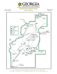
Black Rock Mountain State Park Map
Map of park with detail of trails and recreation zones
204 miles away
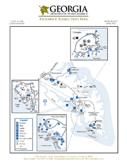
Richard B. Russell State Park Map
Map of park with detail of trails and recreation zones
208 miles away
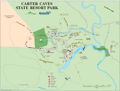
Carter Caves State Resort Park Map
Map of trails and facilities of Carter Caves State Resort Park.
208 miles away
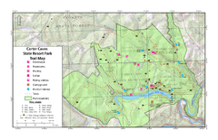
Carter Caves State Resort Park Topographic Trails...
Topographic map of the trails of Carter Caves State Resort Park.
208 miles away
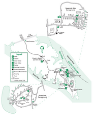
Bobby Brown State Park Map
Map of park with detail of trails and recreation zones
212 miles away
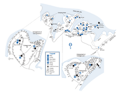
Elijah Clark State Park Map
Map of park with detail of trails and recreation zones
213 miles away
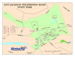
Levi Jackson Wilderness Road State Park Map
Map of trails and facilities of Levi Jackson Wilderness Road State Park.
214 miles away
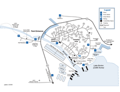
Moccasin Creek State Park Map
Map of park with detail of trails and recreation zones
215 miles away
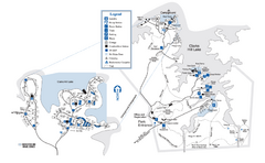
Mistletoe State Park Map
Map of park with detail of trails and recreation zones
224 miles away
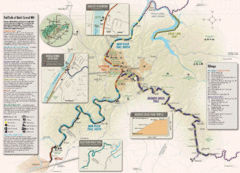
Rail Trails of North Central West Virginia Map
Trail map of rail-trails of north-central West Virginia. Shows the Mon River Trail, Caperton Trail...
225 miles away
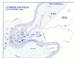
Cumberland Falls State Resort Park Map
Cumberland Falls Park Area Map
228 miles away
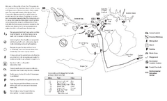
Mason Neck State Park Map
Trail map of Mason Neck State Park near Lornton, Virginia. Shows approx. 3 miles of hiking trails...
230 miles away
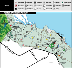
Pohick Bay Regional Park Map
Park map of Pohick Bay Regional Park near Lorton, VA on the Potomac River. Shows trails and...
232 miles away
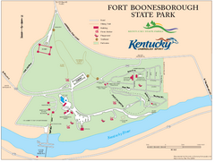
Fort Boonesborough State Park Map
Map of trails, historical sites and facilities at Fort Boonesborough State Park.
244 miles away
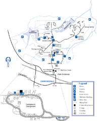
A. H. Stephens Historic Park Map
Map of park with detail of trails and recreation zones
246 miles away
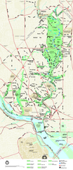
Rock Creek Park map
Map of Rock Creek Park and its immediate surroundings in Washington, DC
251 miles away
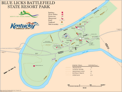
Blue Licks Battlefield State Resort Park Map
Map of Trails and Facilities in Blue Licks Battlefield State Resort Park.
254 miles away
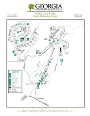
Amicalola Falls State Park Map
Map of park with detail of trails and recreation zones
257 miles away
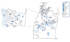
Fort Yargo State Park Map
Map of park with detail of trails and recreation zones
257 miles away
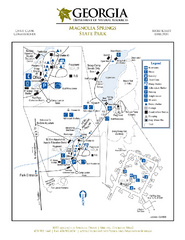
Magnolia Springs State Park Map
Map of park with detail of trails and recreation zones
261 miles away
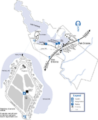
Hamburg State Park Map
Map of park with detail of trails and recreation zones
262 miles away
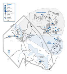
Hard Labor Creek State Park Map
Map of park with detail of trails and recreation zones
267 miles away


 Explore Maps
 Map Directory
