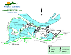
Connected Lakes State Park Map
Map of connected lakes section of the James M Robb Colorado River State Park
0 miles away
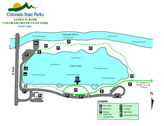
Corn Lake State Park Map
Map of corn lake section of the James M Robb Colorado River State Park
1 mile away
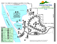
Fruita Area State Park Map
Map of fruita section of the James M Robb Colorado River State Park
3 miles away
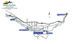
James M Robb Colorado River State Park Map
Overview map of park along lake
3 miles away
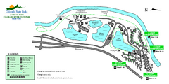
Island Acres State Park Map
Map of island acres section of the James M Robb Colorado River State Park
5 miles away
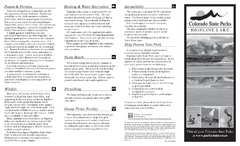
Highline Lake State Park Map
Map of park with detail of recreation areas
20 miles away
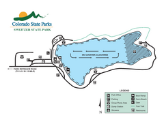
Sweitzer Lake State Park Map
Map of park with detail of recreation zones
38 miles away
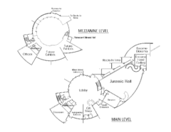
Utah Field House of Natural History Map
So much time is revealed here, even more geologic time than in the Grand Canyon. Within an 80-mile...
107 miles away
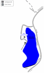
Steinaker State Park Map
Fish for rainbow trout and largemouth bass, and enjoy sandy beaches, swim, boat, and waterski at...
112 miles away
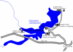
Starvation State Park Map
The sprawling waters of Starvation Reservoir offer great fishing and boating. Find a secluded...
126 miles away
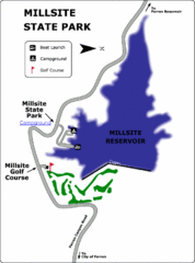
Millsite State Park Map
Camp in the quiet campground, and boat and fish on the blue waters of Millsite Reservoir. Play 18...
141 miles away
Arkansas Headwaters Recreation Area Map
Map of recreation area with detail of various recreation zones and lakes
144 miles away
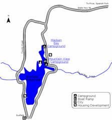
Scofield State Park Map
Camp, boat, and fish at this summer and winter recreation destination situated high in the Manti...
147 miles away
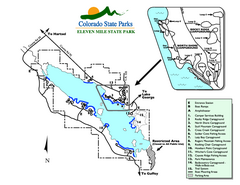
Eleven Mile State Park Map
Map of park with detail of campground zones
165 miles away
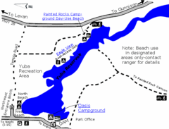
Yuba State Park Map
The sprawling waters of Yuba State Park provide a variety of recreation opportunities for visitors...
180 miles away
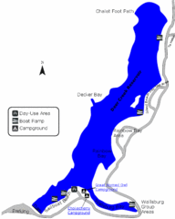
Deer Creek State Park Map
Deer Creek State Park lies in the southwest corner of beautiful Heber Valley and consistently...
182 miles away
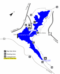
Jordanelle State Park Map
Jordanelle State Park is located in a picturesque mountain setting near Heber City. The park offers...
184 miles away
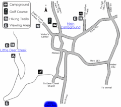
Wasatch Mountain State Park Map
Year-round adventure awaits - golf, hike, bike, camp, horseback ride, snowmobile, cross-country ski...
186 miles away
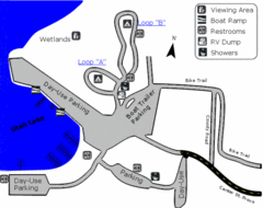
Utah Lake State Park Map
Utah's largest freshwater lake provides fishing access for channel catfish, walleye, white...
186 miles away
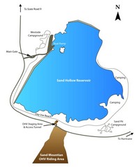
Sand Hollow State Park Map
With its warm, blue waters and red sandstone landscape, Utah's newest state park is also one...
188 miles away
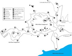
Escalante Petrified Forest State Park Map
Escalante Petrified Forest State Park is located in beautiful southern Utah, just 44 miles east of...
189 miles away
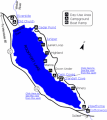
Rockport State Park Map
Find first-rate, year-round recreation at this northern Utah destination. During summer, fish, boat...
190 miles away
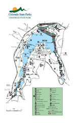
Chatfield State Park Map
Map of park with detail of recreation areas
191 miles away
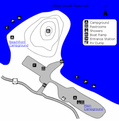
Otter Creek Reservoir Map
This quiet getaway is a great destination for ATV riders, boaters, and birders. Access three ATV...
194 miles away
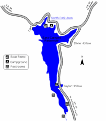
East Canyon State Park Map
East Canyon State Park is a 680-acre boating and year-round fishing delight nestled in the...
203 miles away
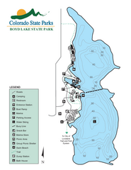
Boyd Lake State Park Map
Map of park with detail of recreation ares
210 miles away
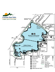
Barr Lake State Park Map
Map of park with detail of trails and recreation zones
213 miles away
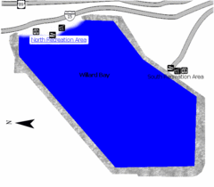
Willard Bay State Park Map
Boat, swim, waterski, and fish on the warm waters of Willard Bay. Camp under tall cottonwood trees...
242 miles away
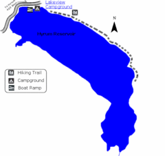
Hyrum State Park Map
Tucked away in Cache County, Hyrum State Park offers many recreation opportunities including...
247 miles away
Jackson Lake State Park Map
Map of park with detail of recreation areas
256 miles away
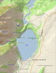
Jenny Lake Hiking Map
Shows hiking trails around Jenny Lake in Grand Teton National Park.
343 miles away
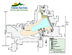
Bonny Lake State Park Map
Map of park with detail of recreation areas
343 miles away
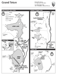
Grand Teton National Park Lakeshore Hiking Map
Shows scenic hikes around lakes such as Phelps, Jenny, Leigh and Taggart in Grand Teton National...
348 miles away
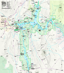
Lake Mead National Recreation Area Map
383 miles away
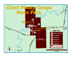
Chief Plenty Coups State Park Map
Simple and clear map of State Park.
439 miles away
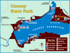
Cooney State Park Map
Simple and clear State Park Map.
442 miles away
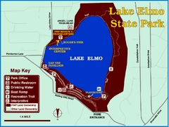
Lake Elmo State Park Map
This urban day-use park attracts visitors to swim, sailboard, and fish. A display in the Fish...
468 miles away
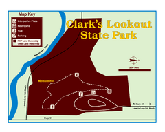
Clark's Lookatout State Park Map
Clearly marked State Park Map.
474 miles away
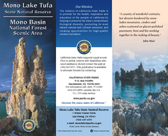
Mono Lake Tufa State Natural Reserve Map
Map of reserve with detail of trails and recreation zones
569 miles away
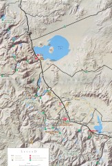
Eastern Sierra Trailhead Map - Lee Vining and...
Shows ranger stations and major trailheads in the eastern Sierra Nevada in the Mono Lake and...
572 miles away


 Explore Maps
 Map Directory
