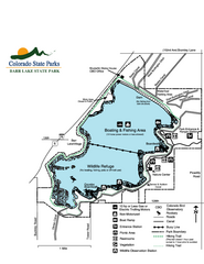
Barr Lake State Park Map
Map of park with detail of trails and recreation zones
0 miles away
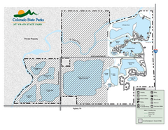
St. Vrain State Park Map
Map of park with detail of recreation zones
20 miles away
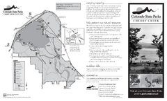
Cherry Creek State Park Map
Map of park with detail of recreation ares
22 miles away
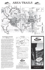
Eldorado Canyon State Park Map
Map of park with detail of trails and recreation zones
28 miles away
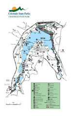
Chatfield State Park Map
Map of park with detail of recreation areas
32 miles away
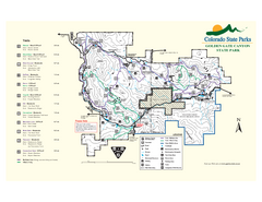
Golden Gate Canyon State Park Map
Map of park with detail of trails
35 miles away
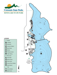
Boyd Lake State Park Map
Map of park with detail of recreation ares
37 miles away
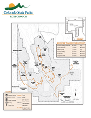
Roxborough State Park Map
Map of park with detail of recreation zones
39 miles away
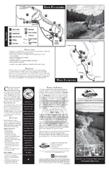
Castlewood Canyon State Park Map
Map of park with detail of trails and recreation zones
41 miles away
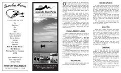
Jackson Lake State Park Map
Map of park with detail of recreation areas
48 miles away
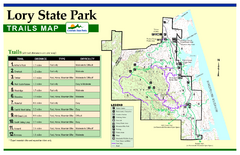
Lory State Park Trail Map
Map of park with detail of hiking trails
50 miles away
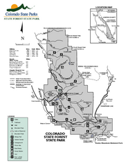
State Forest State Park Map
Map of park with detail of trails and recreation zones
76 miles away
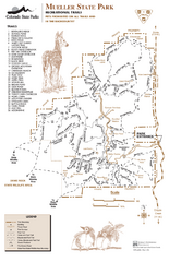
Mueller State Park Trail Map
Map of park with detail of hiking trails
76 miles away
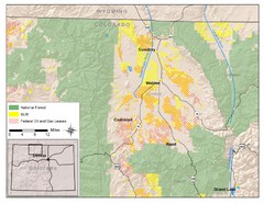
North Park Colorado Map
80 miles away
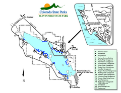
Eleven Mile State Park Map
Map of park with detail of campground zones
81 miles away
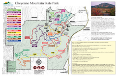
Cheyenne Mountain State Park Map
Trail map of park
84 miles away
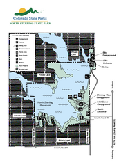
North Sterling State Park Map
Map of park with detail of recreation zones
97 miles away
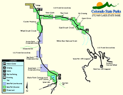
Sylvan Lake State Park Map
Map of park with detail of recreation zones and campgrounds
110 miles away
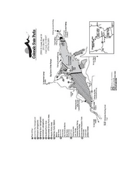
Stagecoach State Park Map
Map of park with detail of campgrounds and recreation zones
114 miles away
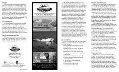
Lake Pueblo State Park Map
Map of park with detail of recreation zones
116 miles away
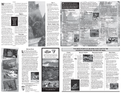
Arkansas Headwaters Recreation Area Map
Map of recreation area with detail of various recreation zones and lakes
118 miles away
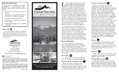
Steamboat Lake State Park Map
Map of park with detail of recreation zones
131 miles away
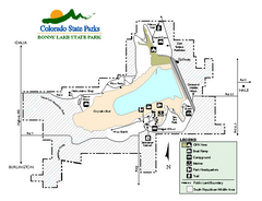
Bonny Lake State Park Map
Map of park with detail of recreation areas
138 miles away
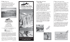
Yampa River State Park Map
Map of park with detail of recreation zones
148 miles away
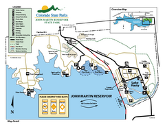
John Martin State Park Map
Map of park with detail of recreation zones
159 miles away
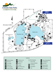
Lathrop State Park Map
Map of park with detail of recreation zones
161 miles away
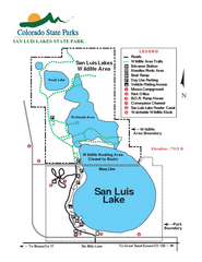
San Luis State Park Map
Map of park with detail of recreation zones
164 miles away
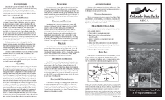
Vega State Park Map
Map of park with detail of recreation zones and campgrounds
170 miles away
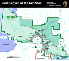
Black Canyon of the Gunnison National Park Map
Official NPS map of Black Canyon of the Gunnison in Colorado. Shows all areas including the South...
183 miles away
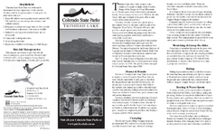
Trinidad State Park Map
Map of park with detail of recreation zones
194 miles away
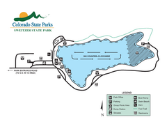
Sweitzer Lake State Park Map
Map of park with detail of recreation zones
195 miles away
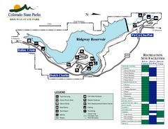
Ridgway State Park Map
Map of park with detail of recreation zones
200 miles away
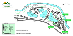
Island Acres State Park Map
Map of island acres section of the James M Robb Colorado River State Park
208 miles away
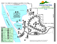
Fruita Area State Park Map
Map of fruita section of the James M Robb Colorado River State Park
210 miles away
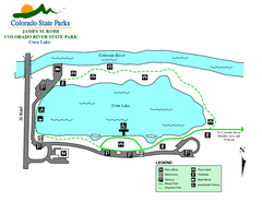
Corn Lake State Park Map
Map of corn lake section of the James M Robb Colorado River State Park
211 miles away
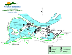
Connected Lakes State Park Map
Map of connected lakes section of the James M Robb Colorado River State Park
213 miles away
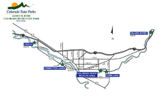
James M Robb Colorado River State Park Map
Overview map of park along lake
214 miles away
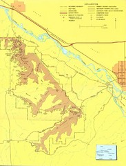
Colorado National Monument Map
Map of Colorado National Monument and surrounding areas.
219 miles away
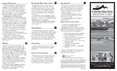
Highline Lake State Park Map
Map of park with detail of recreation areas
223 miles away
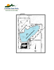
Mancos State Park Map
Map of park with detail of recreation zones
259 miles away


 Explore Maps
 Map Directory
