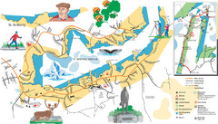
St. Anthony Tourist Map
Tourist map of town of St. Anthony, Newfoundland, Canada. Shows points of interest.
0 miles away
Near St. Anthony, Newfoundland
1510 × 862•272 KB•JPG
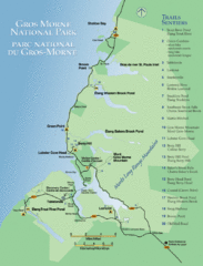
Gros Morne National Park Map
Shows campgrounds and trails in Gros Morne National Park, Newfoundland, Canada. In French and...
155 miles away
Near Rocky Harbour, Canada
800 × 1050•197 KB•GIF
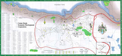
Corner Brook Map
City map of Corner Brook, Newfoundland in the Humber Valley region.
197 miles away
Near Corner Brook, Newfoundland
2236 × 1035•516 KB•JPG
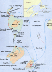
Saint Pierre and Miquelon Map
Guide to Saint Pierre and Miquelon, an overseas collectivity of France
308 miles away
Near Saint Pierre and Miquelon
389 × 536•129 KB•GIF
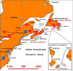
Saint Pierre and Miquelon Regional Map
Guide to the country of Saint Pierre Miquelon and the surrounding area
309 miles away
Near Saint Pierre and Miquelon
699 × 678•171 KB•JPG
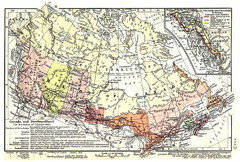
1911 Map of Canada and Newfoundland by Shepherd
This map was from the beautiful 1911 Historical Atlas by William R. Shepherd. Enjoy it!
2054 miles away
Near Canada
1404 × 946•1001 KB•JPG
page 1 of 1


 Explore Maps
 Map Directory
