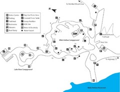
Escalante Petrified Forest State Park Map
Escalante Petrified Forest State Park is located in beautiful southern Utah, just 44 miles east of...
0 miles away
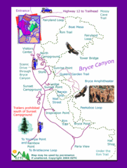
Bryce Canyon National Park Trails Map
32 miles away
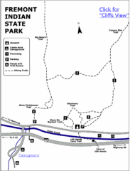
Fremont Indian State Park Map
Discover artifacts, petroglyphs, and pictographs left behind by the Fremont Indians. During...
67 miles away
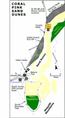
Coral Pink Sand Dunes State Park Map
Rippling arcs of rust-colored sand welcome you as you enter Coral Pink Sand Dunes State Park...
79 miles away
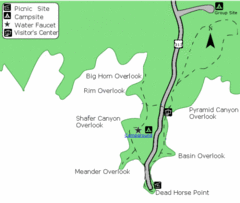
Dead Horse Point State Park Map
Stroll along the Rim Walk, towering 2,000 feet directly above the Colorado River. The mesa that is...
114 miles away
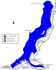
Deer Creek State Park Map
Deer Creek State Park lies in the southwest corner of beautiful Heber Valley and consistently...
184 miles away
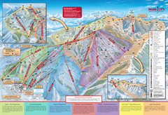
Park City Mountain Trail Map
Map of Park City Mountain's various ski trails
200 miles away
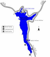
East Canyon State Park Map
East Canyon State Park is a 680-acre boating and year-round fishing delight nestled in the...
216 miles away
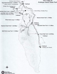
Antelope Island State Park Map
Antelope Island State Park, the largest island in the Great Salt Lake, is home to a roaming herd of...
221 miles away
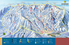
Snowbasin Mountain Trail Map
Ski trail map of Snowbasin Mountain
237 miles away
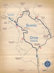
Red Rock Canyon Trail Map
Hiking trail map
240 miles away
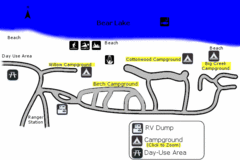
Rendezvous Beach Map
Bear Lake State Park is nestled high in the Rocky Mountains on the Utah-Idaho border. The cool...
282 miles away
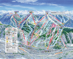
Vail Map
Map of Vail with ski locations and lifts included
312 miles away
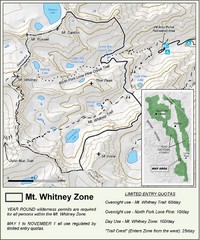
Mt. Whitney Zone Map
Zone map of Mt. Whitney area. Shows trail from Whitney Portal and Zone requiring Limited Use...
374 miles away
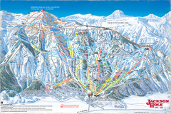
Jackson Hole Trail Map
397 miles away
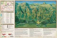
Jackson Hole Summer Mountain Map
398 miles away

Bodie State Park NE Map
Map of park with detail of trails and recreation zones
403 miles away

Bodie State Park SE Map
Map of park with detail of trails and recreation zones
403 miles away
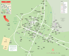
Bodie State Park Map
Map of park with detail of trails and recreation zones
403 miles away

Bodie State Park NW Map
Map of park with detail of trails and recreation zones
403 miles away
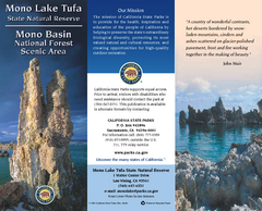
Mono Lake Tufa State Natural Reserve Map
Map of reserve with detail of trails and recreation zones
403 miles away

Bodie State Park SW Map
Map of park with detail of trails and recreation zones
403 miles away
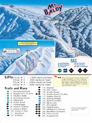
Mount Baldy Trail Map
416 miles away
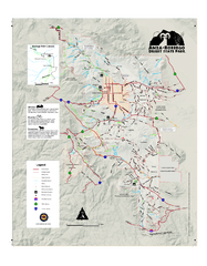
Anza-Borrego Desert State Park Map
Map of park with detail of trails and recreation zones
419 miles away
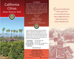
California Citrus State Park Map
Zoom map of park with detail of trails and recreation zones
421 miles away
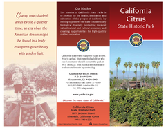
California Citrus State Park Map
Overview map of park with detail of trails and recreation zones
421 miles away

California Citrus State Park Map
Map of park with detail of trails and recreation zones
421 miles away
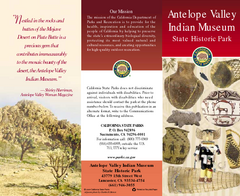
Antelope Valley State Park Map
Map of park with detail of of trails and recreation zones
422 miles away
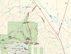
Chino Hills State Park NE Map
Map of NE portion of park with detail of trails and recreation zones
432 miles away
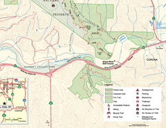
Chino Hills State Park SE Map
Map of SE portion park with detail of trails and recreation zones
433 miles away
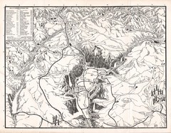
Yosemite National Park Map
Map of Yosemite National Park, 1948
433 miles away
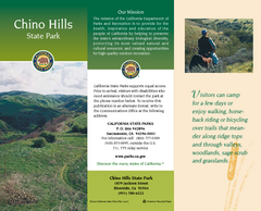
Chino Hills State Park Map
Map of park with detail of trails and recreation zones
433 miles away
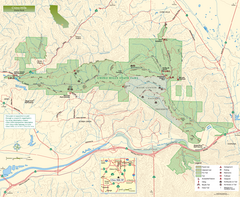
Chino Hills State Park Map
Overview map of park with detail of trails and recreation zones
433 miles away
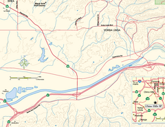
China Camp State Park SW Map
Map of SW portion of park with detail of trails and recreation zones
434 miles away
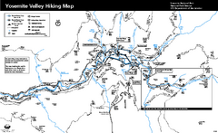
Yosemite Valley Trail Map
Trail map of hiking trails in Yosemite Valley, Yosemite National Park, California.
435 miles away
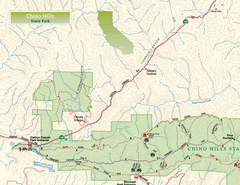
Chino Hills State Park NW Map
Map of NW portion of park with detail of trails and recreation zones
435 miles away
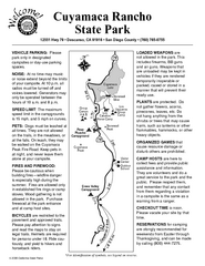
Cuyamaca Rancho State Park Campground Map
Map of park with detail of trails and recreation zones
436 miles away
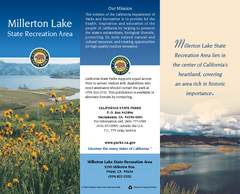
Millerton Lake State Recreation Area Map
Map of park with detail of trails and recreation zones
441 miles away
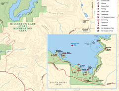
Millerton Lake State Recreation Area SE Map
Map of SE region of park with detail of trails and recreation zones
441 miles away
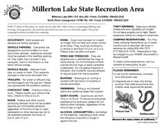
Millerton Lake State Recreation Area Campground...
Map of campground region of park with detail of trails and recreation zones
441 miles away


 Explore Maps
 Map Directory
