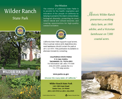
Wilder Ranch State Park Map
Map of park with detail of trails and recreation zones
0 miles away
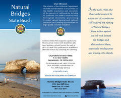
Natural Bridges State Beach Map
Map of beach and park with detail of trails and recreation zones
3 miles away
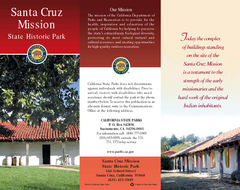
Santa Cruz Mission State Historic Park Map
Map of park and mission
4 miles away
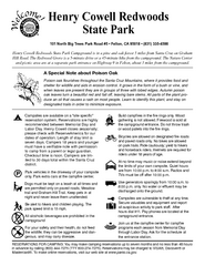
Henry Cowell Redwoods State Park Campground Map
Map of campground region of park with detail of trails and recreation zones
6 miles away
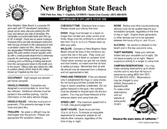
New Brighton State Beach Campground Map
Map of campground region of beach/park with detail of trails and recreation zones
9 miles away
Seacliff & New Brighton State Beaches Map
Map of beaches and parks with detail of trails and recreation zones
10 miles away
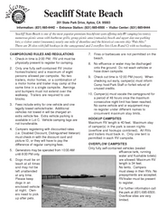
Seacliff State Beach Campground Map
Map of campground region of beach and park with detail of trails and recreation zones
10 miles away
Sunset & Manresa State Beaches Map
Map of beaches and parks with detail of trails and recreation zones
15 miles away
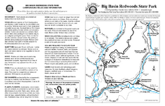
Big Basin Redwoods State Park Map
Map of park with detail of trails and recreation zones
16 miles away
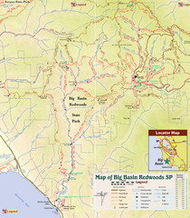
Big Basin Redwoods State Park Trail Map
Topographical trail map of Big Basin Redwoods State Park. Shows roads, trails, natural and other...
16 miles away
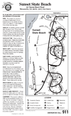
Sunset State Beach Campground Map
Map of park with detail of trails and recreation zones
16 miles away
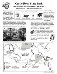
Castle Rock State Park Map
Map of park with detail of trails and recreation zones
17 miles away
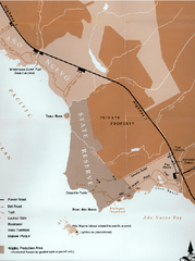
Ano Nuevo State Park Map
Map of park with detail of trails and recreation zones
18 miles away

Ano Nuevo State Park Map
Map of park with detail of trails and recreation zones
18 miles away
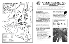
Portola Redwoods State Park Campground Map
Map of campground region of park with detail of trails and recreation zones
20 miles away
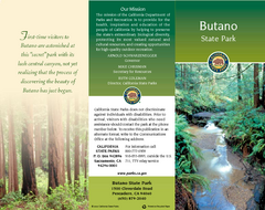
Butano State Park Map
Map of park with detail of trails and recreation zones
20 miles away
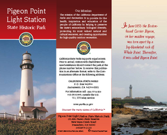
Pigeon Point Light Station State Historic Park Map
Map of park with detail of trails and recreation zones
22 miles away
Monterey State Historic Park Map
Map of park with detail of trails and recreation zones
28 miles away
San Juan Bautista State Historic Park Map
Map of park with detail of trails and recreation zones
32 miles away

Fremont Peak State Park Map
Map of park with detail of trails and recreation zones
36 miles away
Garrapata State Park Map
Map of park with detail of trails and recreation zones
37 miles away
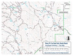
Henry W. Coe State Park, Dowdy Ranch Map
Henry W. Coe State Park Southeast Entrance Trail Map.
39 miles away
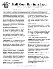
Half Moon Bay State Beach Campground Map
Map of beach with detail of trails and recreation zones
40 miles away
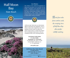
Half Moon Bay State Beach Map
Map of beach with detail of trails and recreation zones
40 miles away
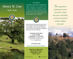
Henry W. Coe State Park Map
Map of park with detail of trails and recreation zones
40 miles away

Pacheco State Park Map
Map of park with detail of trails and recreation zones
50 miles away
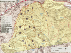
Pacheco State Park Trail Map
Map of park with details of different trails
50 miles away
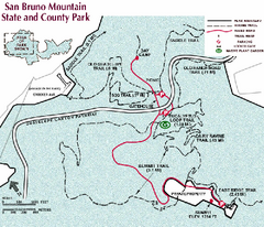
San Bruno Mountain Park Map
Park map of San Bruno Mountain State and County Park. Shows trails in northwest part of park.
53 miles away
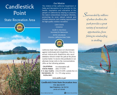
Candlestick Point Recreation Area Map
Map of park with detail of trails and recreation zones
53 miles away

San Luis Reservoir State Recreation Area Map
Map of park and reservoir with detail of trails and recreation zones
57 miles away
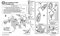
San Luis Reservoir State Recreation Area...
Map of campground region of park and reservoir with detail of trails and recreation zones
57 miles away
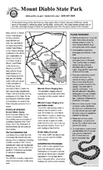
Mount Diablo State Park Campground Map
Map of park with detail of trails and recreation zones
63 miles away
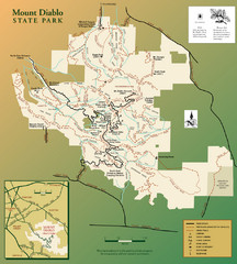
Mt. Diablo State Park Map
Trail map of Mt. Diablo State Park near Walnut Creek, CA
63 miles away
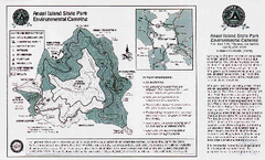
Angel Island State Park Map
Map of park with detail of trails and recreation zones
64 miles away
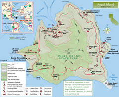
Angel Island State Park Map
Official map of Angel Island State Park in the San Francisco Bay. Shows paved and unpaved roads...
64 miles away
Mount Tamalpais State Park Map
Map of park with detail of trails and recreation zones
69 miles away
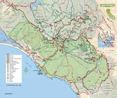
Mount Tamalpais State Park Map
Topographic trail map of Mt Tamalpais State Park in Marin County, California.
69 miles away
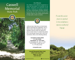
Caswell Memorial State Park Map
Map of park with detail of trails and recreation zones
70 miles away
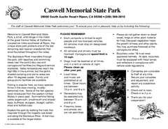
Caswell Memorial State Park Campground Map
Map of park with detail of trails and recreation zones
72 miles away
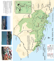
China Camp State Park Map
Trail map of China Camp State Park. Shows trails by use type and all park facilities.
74 miles away


 Explore Maps
 Map Directory
