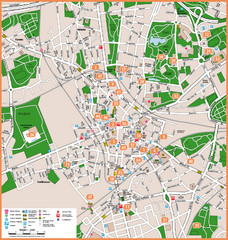
Bochum Tourist Map
Tourist map of central Bochum, Germany. Shows points of interest; numbers correspond to more info...
0 miles away
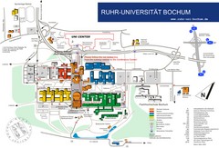
Ruhr-Universitat Campus Map
3 miles away
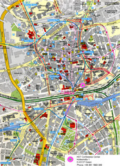
Essen Street Map
Street map of central Essen, Germany
8 miles away
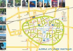
Dortmund Tourist Map
Tourist map of central Dortmund, Germany. Shows photos of points of interest along a walking audio...
11 miles away
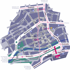
Wuppertal Elberfeld Street Map
Street map of Elberfeld in Wuppertal, Germany. In German.
16 miles away
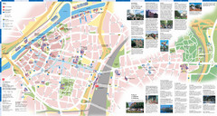
Duisburg Tourist Map
Tourist map of central Duisburg, Germany. Shows points of interest.
19 miles away
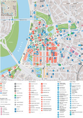
Dusseldorf Tourist Map
Tourist map of central Düsseldorf, Germany. Shows points of interest.
26 miles away
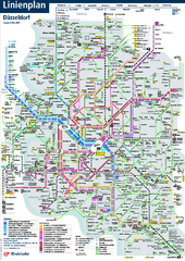
Dusseldorf Public Transport Network Map
Official Rheinbahn map shows municipal-rail, light rail and tramway system, as well as a close-knit...
26 miles away
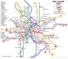
Köln metro Map
39 miles away
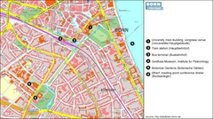
Bonn die Stadt Map
52 miles away
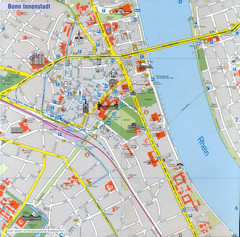
Bonn Tourist Map
Tourist map of inner city Bonn, Germany. Shows major buildings and points of interest.
52 miles away
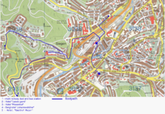
Siegen Street Map
Street map of part of Siegen, Germany. With annotations in English.
55 miles away
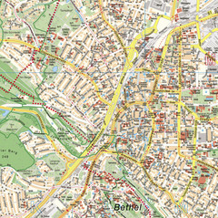
Bielefeld Street Map
Street map of central Bielefeld, Germany. Shows some points of interest.
68 miles away
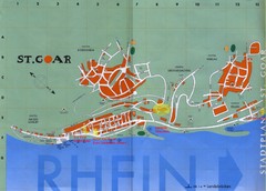
Sankt Goar Town Map
Town map of Sankt Goar, Germany. Sankt Goar is a picturesque little town on the Rhein river, about...
95 miles away
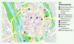
Hameln Map
102 miles away
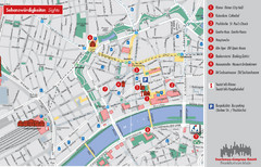
Frankfurt Tourist Map
Tourist map of central Frankfurt, Germany. Shows points of interest. In English and German.
114 miles away
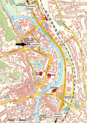
Frankfurt Tourist Map
115 miles away
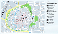
Gottingen Map
117 miles away
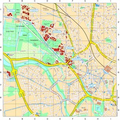
Leibniz Universität Hannover Map
Campus map of the Leibniz Universität Hannover in Hannover, Germany. All school buildings...
124 miles away
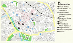
Hannover Map
124 miles away
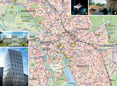
Hannover Tourist Map
Tourist map of central Hannover, Germany. Shows points of interest and some photos.
124 miles away
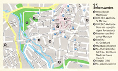
Hildesheim Map
126 miles away
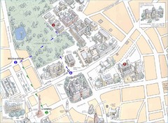
Darmstadt City Map
City map of Darmstadt, Germany. Shows major buildings and the Herrngarten.
127 miles away
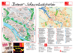
Bremen Tourist Map
Tourist map of central Breman, Germany. Shows points of interest. Includes second map of Breman...
129 miles away
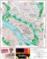
Bremen Tourist Map
Tourist map of the inner city of Bremen, Germany. Shows all points of interest.
129 miles away
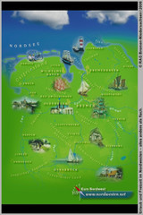
Northwest Germany Tourist Map
Tourist map of northwest region of Germany. Shows photos of major towns and regional icons.
133 miles away
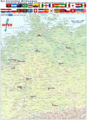
Germany Football World Cup 2006 Map
Shows football (soccer) cities in the 2006 World Cup hosted by Germany.
142 miles away
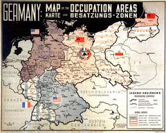
Occupation Areas of Germany after 1945 Map
This was an actual poster to be shown in the occupied Germany after the WWII.
142 miles away
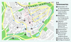
Goslar Map
142 miles away
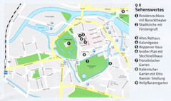
Celle Map
144 miles away
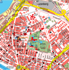
Mannheim Tourist Map
Tourist map of central Mannheim, Germany. Shows points of interest.
148 miles away
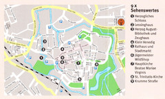
Wolfenbuttel Map
150 miles away
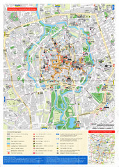
Braunschweig Map
152 miles away
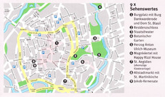
Braunschweig Map
152 miles away
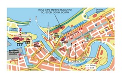
Bremerhaven City Map
City map of central Bremerhaven, Germany. Alfred Wegener Institute for Polar and Marine Research...
153 miles away
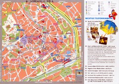
Erfurt Tourist Map
Tourist map of Erfurt, Germany. Shows points of interest. In German. Scanned.
169 miles away
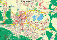
Ilmenau City Map
City map of Ilmenau, Germany
170 miles away
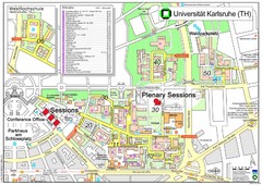
Karlsruhe University Campus Map
Campus map of Universität Karlsruhe, the oldest Technical University in Germany, founded in...
179 miles away
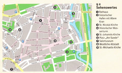
Luneburg Map
182 miles away
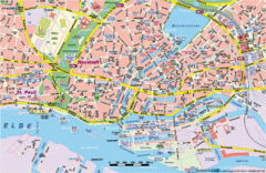
Hamburg Street Map
Street map of central Hamburg, Germany. Shows many canals.
185 miles away


 Explore Maps
 Map Directory
